Single social media post reports multiple Turkish domestic drone types airborne over Turkey
What happened
A post attributed to the X account @ConflictTR, citing a user named Kozmaster42, states that several Turkish domestic air platforms are flying over Turkey at the same time. The list names the HAVA SOJ, GÖKBEY, AKINCI, ANKA, KALKAN, TB2 and TB3. The original text is in Turkish and describes the aircraft as domestic production. The report is dated 21 October 2026 at 08:51 UTC and gives no specific location, recorded only as Turkey (location not reported). No imagery, flight-tracking data or official statement accompanies the post. Its claim of simultaneous flights is therefore a single-source assertion that has not been independently verified at the time of publication.
Context and assessment
The post matters less for any single flight than for what it may reflect about Turkey's current defence posture. Earlier the same day, at 08:33 UTC, a separate report described a live-fire test of two Roketsan munitions, the MAM-L and the Laçin autonomous loitering munition, launched from a Bayraktar AKINCI. Roughly three hours before that, at 05:57 UTC, a report said Turkey was establishing drone training and production centres in all 81 provinces, which would allow mass drone output nationwide in a potential war. Read together, these items suggest a cluster of activity around indigenous unmanned systems, consistent with a push to demonstrate operational readiness and industrial depth. The list itself, however, mixes platforms. The GÖKBEY is a helicopter rather than an unmanned aircraft, so the post is better read as a roster of domestic air platforms than as a count of drones. Simultaneous airborne presence could reflect routine training, a national display or a mobilisation exercise, and the post alone cannot distinguish between them.
Sources and confidence
Only one channel, the X account @ConflictTR, reported this item, and the source_count is one. The post cites a second account, Kozmaster42, as its origin, but that attribution does not provide independent corroboration. The confidence score of 5.5 reflects this single-source basis, the absence of imagery or flight data, and the unspecified location. Confidence would rise with ADS-B or multilateration flight tracks, dated photographs or video from identifiable sites, an official Turkish defence ministry or manufacturer statement, or pickup by established Turkish or wire outlets. It would fall if the account's earlier posts are shown to be recycled or if the imagery is traced to past events.
Location
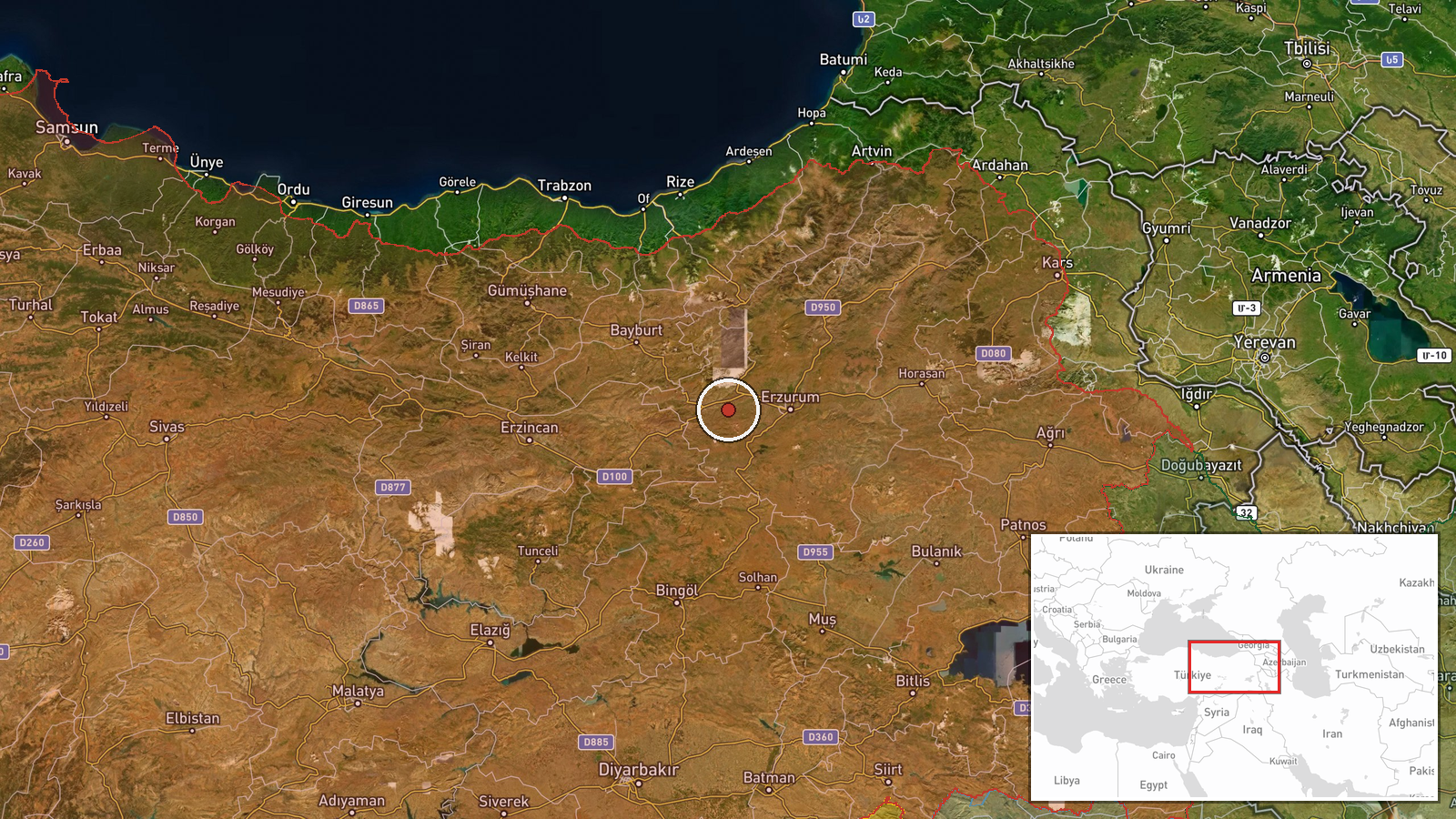
The coordinates, 39.906 N and 40.847 E, are a regional placeholder rather than a confirmed site, and the geo precision is recorded as region level. They fall in the eastern Anatolian highlands, in the general area of Tunceli and Bingöl provinces. This is mountainous terrain with high plateaus and deep river valleys, where airspace is shared with ground training areas. The coordinates should not be read as the location of any aircraft or facility.
Related events nearby
- Erdogan congratulates Syrian and Turkish intelligence for arresting the suspect behind massacres in Baniyas, S2026-10-21 10:26 UTC · Police Operation · Turkey (location not reported)
- Turkey conducted a successful live-fire test of two Roketsan MAM-L and Laçin autonomous loitering munitions la2026-10-21 08:33 UTC · Military Exercise · Turkey (location not reported)
- Turkey begins establishing drone training and production centers in all 81 provinces, enabling mass drone outp2026-10-21 05:57 UTC · Deployment · Turkey (location not reported)
▶ View this event on the live map

Intel Mapper aggregates open-source reports from monitored Telegram and X channels, geolocates them, cross-checks duplicates across sources and assigns a confidence score. Entries are updated as new confirmations arrive. Read how we verify events.