Iranian state media releases first images of army drone production line; site undisclosed
What happened
IRIB, Iran's state broadcaster, posted on X on 22 October 2026 at 11:07 UTC that it had released first images of what it described as the Iranian Army's drone production line. The post, as recorded in the event data, reads 'First images of the Iranian Army's drone production line released' and links to a single URL with no further detail. The location of the facility was not disclosed, and the event record places the item at national level only, with no city or site named. The footage has not been independently verified, and nothing in the data describes its contents, scale, output, or the types of drones shown. The claim was relayed by a single channel, the X account @Osint613. Because the item reports an imagery release rather than a strike or casualty event, no casualty or damage figures are recorded.
Context and assessment
The release comes during a tense period in which Tehran's public messaging has been unusually heavy. In the hours before the post, IRGC officials warned that US bases across the region could be targeted over a mined passage, a senior security official said Tehran expected a renewed US-Israeli attack, and a Tehran official said previously withheld capabilities would be used in a future war. Mediators were also pushing proposals to prevent a return to fighting. Publicising a drone production line in this context may be intended as deterrence messaging, signalling industrial capacity to Washington and to Iranian domestic audiences rather than revealing new operational information. It may also serve to reinforce the narrative that Iran's missile and drone programmes remain intact after earlier fighting. Drone production is a long-standing focus of Western concern because of the role of relatively cheap unmanned systems in regional attacks. Operationally, the item by itself indicates little beyond the claim that such capacity exists and that the state wishes it to be visible. Any assessment of scale or capability would require verified imagery and a confirmed location, neither of which is present in the record.
Sources and confidence
The item rests on one channel, X account @Osint613, which relayed an IRIB state media post. No independent outlet, wire service, or open-source analyst in the data confirms the footage or geolocates the facility. The confidence score of 6.2 reflects this single-source position, the origin in state media with a clear propaganda incentive, and the absence of any verifiable location. The score would rise if the footage were geolocated and matched to a specific facility, if satellite imagery corroborated a site, or if wire agencies or established monitoring outlets reported the release with their own checks. It would fall if the imagery were shown to be older, recycled from other facilities, or staged, or if the original IRIB post could not be located.
Location
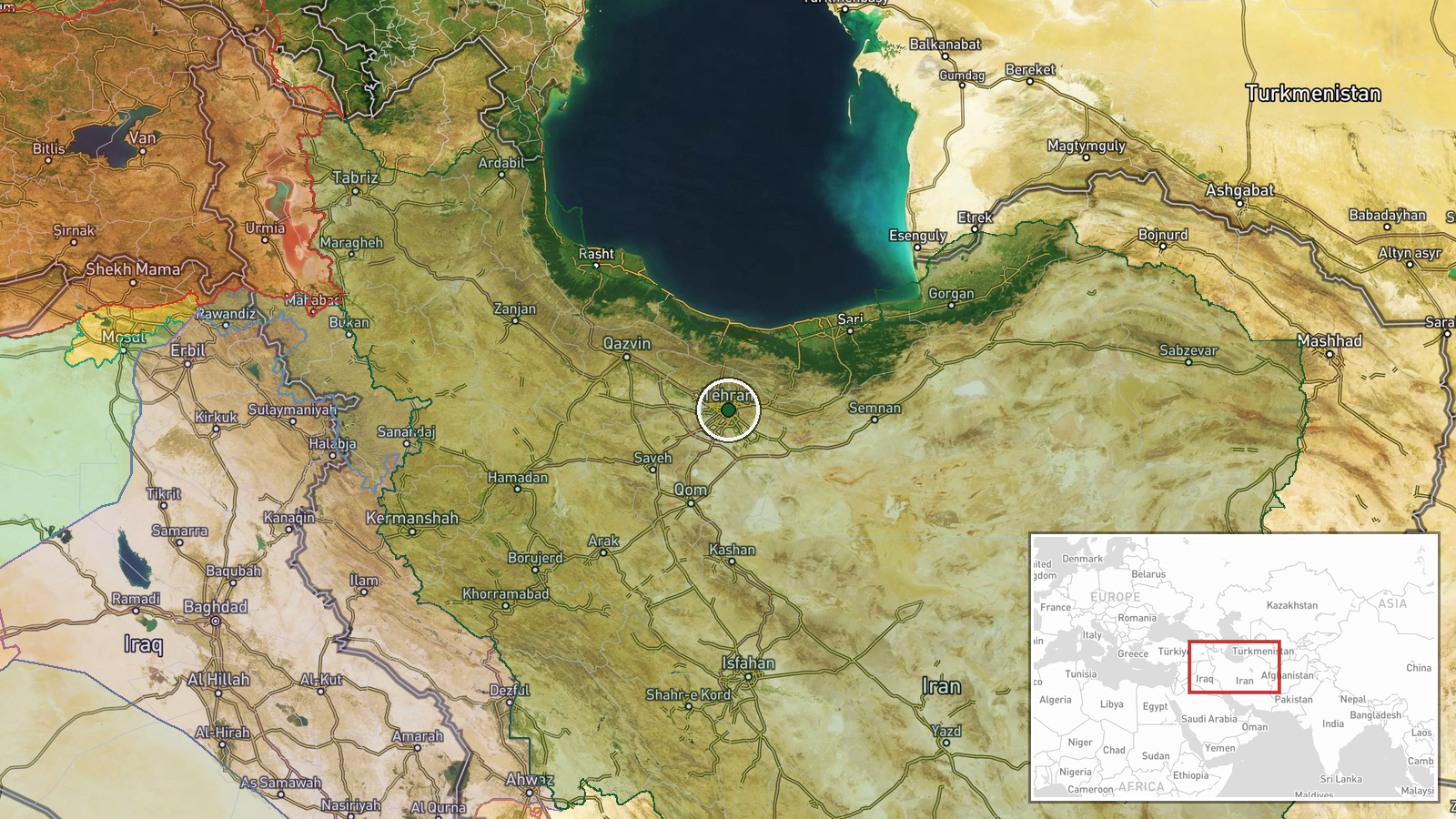
The coordinates in the record, 35.6892 N and 51.389 E, correspond to central Tehran and are used here as a region-level placeholder for Iran as a whole. They do not indicate the production site, which has not been disclosed, and location confidence is recorded as low. The country is large and varied, with the Alborz mountains to the north of Tehran and arid plateau and desert terrain across much of the centre and east, so any facility could be in very different settings. Until a site is identified, the location should be treated as unknown within Iran.
Related events nearby
- Iranian official Mohsen Rezaei says withheld capabilities were not used in earlier fighting and will be used i2026-10-22 08:20 UTC · Statement · Tehran, Iran
- IRGC Navy warns US bases across the region could be targeted if Washington keeps pushing vessels through a min2026-10-22 07:09 UTC · Statement · Tehran, Iran
- Mediators in US-Iran talks push to prevent escalation and return to war. Proposals include releasing part of I2026-10-22 06:14 UTC · Diplomacy · Tehran, Iran
- Senior Iranian security official says Tehran expects renewed U.S.-Israeli attack, deems U.S. diplomacy insince2026-10-21 20:46 UTC · Statement · Tehran, Iran
- IRGC says it is preparing to unveil a new weapon, the 'father of all bombs', without details. Reports say Trum2026-10-21 17:42 UTC · Statement · Tehran, Iran
▶ View this event on the live map

Intel Mapper aggregates open-source reports from monitored Telegram and X channels, geolocates them, cross-checks duplicates across sources and assigns a confidence score. Entries are updated as new confirmations arrive. Read how we verify events.