Report: Russian fishing vessels suspected of spying on undersea cables near UK and Europe
What happened
A single social media account, X user @WarMonitor3, reported on 22 October 2026 at 12:43 UTC that Russian fishing vessels in the North Sea and the Atlantic Ocean are suspected of spying on and sabotaging undersea cables linking the United States, Britain and Europe. The report, as recorded, says NATO suspects civilian surveillance use by the vessels. The original text is truncated in the record, so the full wording, specific vessels, cable names and dates of any incident are not available here. The post does not identify a damaged cable, a named vessel or a confirmed attribution beyond the suspicion. Treat the claim as an allegation reported through one channel.
Context and assessment
Undersea cables carry most intercontinental internet and data traffic, and the routes between North America and Britain and continental Europe are among the most heavily used. Damage to cables in European waters has been a recurring concern since incidents in the Baltic Sea in 2023 and 2024, several of which involved vessels later questioned by investigators, though responsibility was rarely settled publicly. Fishing vessels are a plausible cover for close surveillance of seabed infrastructure, and trawling or anchoring can damage cables, which makes a fishing-fleet explanation both easy to deny and hard to disprove. The event record lists no related events, so this report cannot be placed within a verified pattern from the feed itself. Operationally, the allegation, if accurate, would point to low-cost monitoring or disruption of critical links rather than a discrete attack. Whether that reflects deliberate sabotage, opportunistic activity or a misreading of ordinary fishing work remains unresolved in the material available.
Sources and confidence
The event rests on one channel, X account @WarMonitor3, with a source count of one and no cross-confirmation from wire services, official statements or other outlets in the record. The confidence score of 6.0 reflects a single unverified social post with truncated text and an attribution that is itself a suspicion. Confidence would rise with an official NATO, UK or EU statement, a cable operator fault report, vessel tracking data naming specific ships, or corroboration from established news outlets. It would fall if the post were deleted, retracted or shown to recycle older reporting.
Location
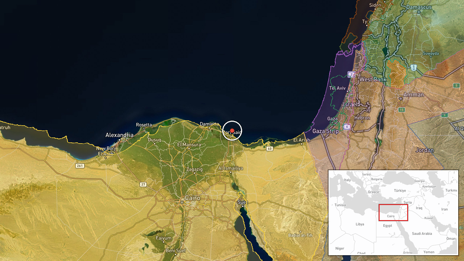
The record names the area as the North Atlantic off the United Kingdom with region-level precision, which suggests the place was taken from the report's wording rather than a specific feature. The stated area is a broad maritime region covering the North Sea and Atlantic approaches to Britain, Scotland and Norway. However, the stored coordinates, about 31.4 N and 32.3 E, fall near Egypt's Sinai and Nile Delta area and are far from the reported waters. The map marker should therefore be treated as unreliable until corrected.
▶ View this event on the live map

Intel Mapper aggregates open-source reports from monitored Telegram and X channels, geolocates them, cross-checks duplicates across sources and assigns a confidence score. Entries are updated as new confirmations arrive. Read how we verify events.