Israeli military reports shooting attack near Yehuda Junction, West Bank; details unconfirmed
What happened
Israel's military reported a shooting attack near Yehuda Junction, within the Yehuda Regional Brigade area, in a post timed 23 October 2026 at 04:28 UTC. The statement, as quoted on the event record, said a report of the attack had been received, that details were under investigation, and that IDF forces had rushed to the scene. The wording gives no casualty figures, no number of gunmen, no weapons details, and no information on whether anyone was hit or detained. The item reached Intel Mapper through a single account on X, @Osint613, which attributes the attack to unidentified gunmen. Because the military notice was relayed through that channel, it should be read as a short official announcement rather than a verified account of events. Updates from the IDF or Israeli police would be needed to establish what occurred.
Context and assessment
Yehuda Junction lies in the southern West Bank, in hill terrain near Hebron, where roads connect Israeli and Palestinian communities and where military patrols and checkpoints are routine. Shootings, stabbings and vehicle attacks have repeatedly occurred in this kind of area, and Israeli forces typically respond with rapid deployments once an incident is reported. The related events in the record are all statements from Jerusalem rather than field reports. On 22 October Prime Minister Netanyahu said Israel would destroy Hamas, described the goal as achievable, and acknowledged that Israel had bombed Qatar. Earlier that day he said he had not sought US approval before attacking Iran, and i24NEWS reported he saw no reason to strike Iran before elections unless an Iranian missile attack was being prepared. These statements signal readiness for action on several fronts, but none links directly to the junction or the gunmen. Operationally, the shooting could be a local, self-initiated incident or part of a wider escalation, and the record does not allow the two to be separated. The timing alongside the rhetoric is useful background, not evidence of coordination.
Sources and confidence
The report rests on one channel, the X account @Osint613, which relayed an Israeli military statement. No second outlet, wire service or official feed in the record independently confirms the attack, and the source count is one. The confidence score of 6.5 reflects an official attribution combined with a single-source relay and sparse detail. It would rise if the IDF publishes a follow-up, if Israeli police or regional media report the incident, or if local outlets corroborate it with names, locations or casualty information. It would fall if the statement is revised or withdrawn, or if it turns out to refer to a different place or to an incident already reported elsewhere.
Location
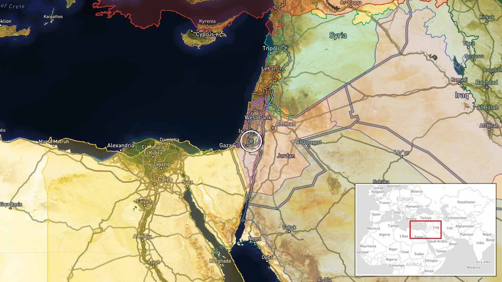
The location is recorded only at region level with low confidence. The coordinates, 31.5078 north and 35.0531 east, place the point near Hebron in the southern West Bank, not on a verified junction, so the exact spot is approximate. Yehuda Junction is generally understood to be a road intersection in the Judean hills, where roads wind between towns and military positions. The Hebron hills lie to the south and the wider Judean highlands extend north.
Related events nearby
- Netanyahu publicly acknowledges that Israel bombed Qatar, adding that he was accused of being pro-Qatar.2026-10-22 19:47 UTC · Statement · Jerusalem, Israel
- Israeli PM Netanyahu declares Israel will destroy Hamas, calling the goal not difficult. Explicit threat of mi2026-10-22 18:23 UTC · Statement · Jerusalem, Israel
- i24NEWS reports there is no reason to attack Iran before elections unless preparations for an Iranian missile 2026-10-22 17:02 UTC · Statement · Jerusalem, Israel
- Netanyahu says he did not seek US President Trump's approval before attacking Iran, signalling Israel's willin2026-10-22 10:19 UTC · Statement · Jerusalem, Israel
- Netanyahu dismisses claims that Saudi Arabia demands a Palestinian state, saying Riyadh publicly says so but h2026-10-22 09:43 UTC · Statement · Jerusalem, Israel
▶ View this event on the live map

Intel Mapper aggregates open-source reports from monitored Telegram and X channels, geolocates them, cross-checks duplicates across sources and assigns a confidence score. Entries are updated as new confirmations arrive. Read how we verify events.