Philippine Coast Guard reportedly drives foreign fishing boat from Lawak Island's territorial sea
What happened
The Philippine Coast Guard reportedly drove a foreign fishing vessel out of the territorial sea of Lawak Island, part of the Kalayaan Island Group in the Spratly archipelago, on 23 October 2026. According to the report, Coast Guard personnel stationed on the island first monitored the vessel around noon, lying roughly two nautical miles northeast of the island and well inside the 12-nautical-mile territorial sea. In the early afternoon they deployed a rubber boat to conduct maritime patrol and law enforcement operations and to direct the vessel to leave the area. The source text is cut off before describing the boat reaching the vessel and what followed, so the vessel's nationality and any details of the exchange are not available. The account comes from a single X post by @jaytaryela, and its wording reads like an official-style enforcement account rather than independent observation.
Context and assessment
Lawak Island sits in the Kalayaan Island Group, the Philippine name for the part of the Spratlys that Manila controls, in a sea where the Philippines, China, Vietnam, Malaysia, Taiwan and Brunei have overlapping claims. Fishing vessels from several of these states regularly operate around the reefs and cays, and Philippine enforcement of its 12-nautical-mile territorial sea is a recurring source of friction. The 2016 arbitral ruling in The Hague rejected many of China's historic rights claims, but it did not settle sovereignty over individual features, and the dispute remains active. The summary describes this operation as the sixth of its kind in under four weeks, which if accurate would point to a sustained pattern rather than a one-off. However, no related events are linked in the data, so that claim cannot be checked against other reports here. Operationally, repeated use of small boats to shadow and redirect fishing vessels suggests a persistent presence posture, though the report does not show what the vessel was doing or whether it complied.
Sources and confidence
All reporting in this record comes from one channel, X account @jaytaryela, with no cross-confirmation from wire services, Philippine government releases or other outlets in the dataset. The confidence score of 6.3 reflects a single-source report with no corroborating material, and the sixth-operation claim in the summary is not traceable to separate reports. Confidence would rise with an official Philippine Coast Guard statement, photographs or video of the operation, or Philippine or regional media coverage that names the vessel and describes the outcome. It would fall if the account cannot be tied to Coast Guard personnel or if the timeline is contradicted.
Location
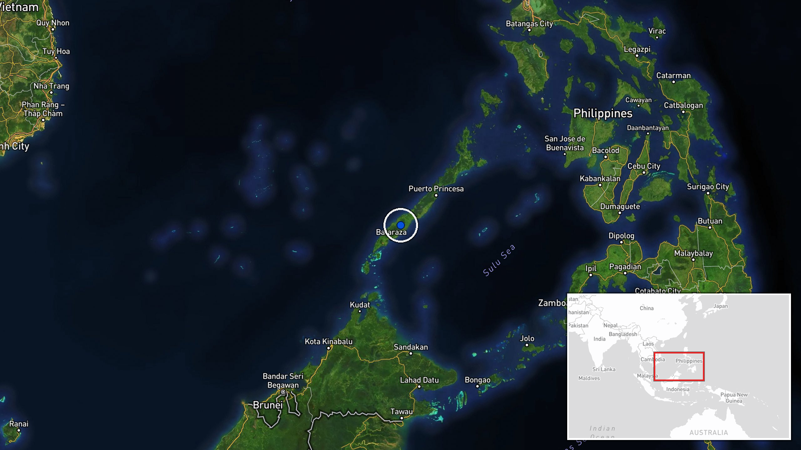
The coordinates are region-level and the location confidence is low, so the point marks the general area of Lawak Island rather than a precise position. Lawak is a small, low-lying cay on a reef platform in the Spratly archipelago, administratively part of Kalayaan, Palawan, Philippines. Its shallow reef flats and surrounding waters are where the territorial sea boundary matters for enforcement.
▶ View this event on the live map

Intel Mapper aggregates open-source reports from monitored Telegram and X channels, geolocates them, cross-checks duplicates across sources and assigns a confidence score. Entries are updated as new confirmations arrive. Read how we verify events.