IRGC announces expansion of maritime security operations beyond Strait of Hormuz
What happened
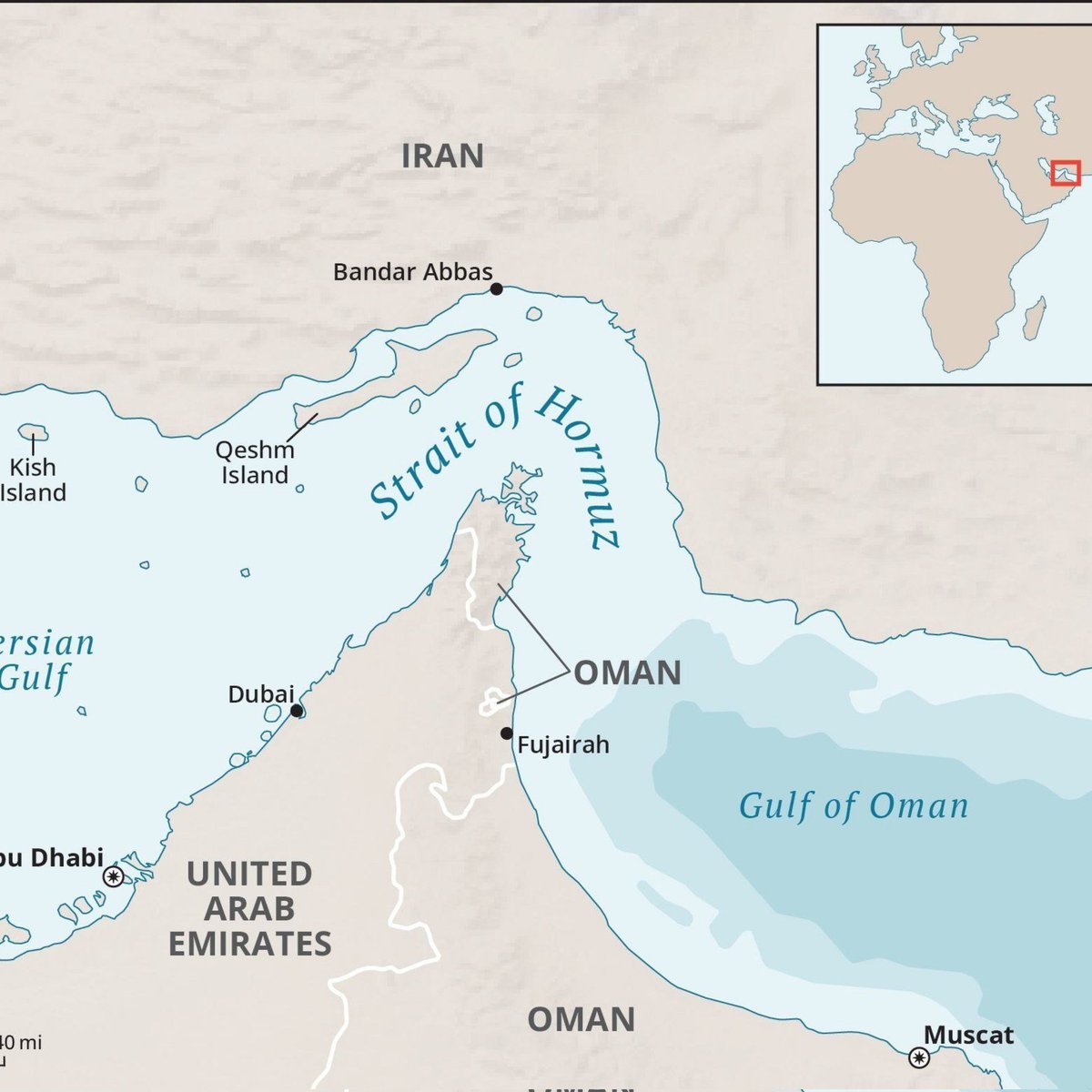
Iran's Islamic Revolutionary Guard Corps announced on 9 September that it is expanding its maritime security operations beyond the Strait of Hormuz to include the Oman Sea and parts of the Arabian Sea, with operations reportedly beginning from the port of Chabahar. The statement was posted via X (formerly Twitter) by @ConflictTR. The announcement follows increased maritime incidents in the region, including reports of an attack on a tanker near Dubai's Rashid Port on the same day.
Context and assessment
Chabahar, located on Iran's southeastern coast in Sistan and Baluchestan Province, has been developed as a strategic deep-water port to bypass international sanctions and reduce reliance on the Strait of Hormuz for maritime trade. The IRGC's declared expansion of security operations represents a significant escalation in Iran's claimed jurisdiction over regional waters. This announcement aligns with recent patterns of maritime tensions in the Persian Gulf and Arabian Sea, including multiple incidents involving commercial vessels. The expanded operational claim may reflect efforts to assert control over key shipping lanes and counter perceived threats to Iranian interests, though the operational capacity and enforcement mechanisms remain unclear.
Sources and confidence
The statement originated from the IRGC via X, reported by the @ConflictTR channel. No independent cross-confirmation from other regional news agencies or maritime tracking sources has been identified. The confidence score of 6.0 reflects single-source reporting of an official statement. Confirmation from Iranian state media or independent reporting on enforcement would increase confidence; lack of follow-up statements or operational evidence would lower it.
Location
Chabahar is a port city in southeastern Iran on the Gulf of Oman, approximately 950 kilometres southeast of Tehran. The announcement references operations extending from this location across the Oman Sea and into parts of the Arabian Sea, representing a substantial geographic expansion of claimed Iranian maritime activity in the Indian Ocean approaches to the Persian Gulf.
Related events nearby
- A tanker was attacked near Rashid Port in Dubai, UAE. The incident escalates maritime tensions in the Persian 2026-09-09 09:28 UTC · Cargo Ship · Rashid Port, Dubai, United Arab Emirates
▶ View this event on the live map
Intel Mapper aggregates open-source reports from monitored Telegram and X channels, geolocates them, cross-checks duplicates across sources and assigns a confidence score. Entries are updated as new confirmations arrive. Read how we verify events.