Gaza Health Ministry reports 1,417 deaths since October 2025 ceasefire began
What happened
The Gaza Health Ministry released figures documenting 1,417 deaths and 4,964 injured across the Gaza Strip since a ceasefire took effect on October 10, 2025. The ministry attributed these casualties to Israeli strikes that have continued despite the ceasefire arrangement. The report was shared via social media on September 27, 2026, nearly a year after the ceasefire's stated start date, suggesting either ongoing violations or updated casualty accounting from the conflict period.
Context and assessment
The casualty figures arrive amid sustained diplomatic and military tensions. Recent satellite imagery has revealed the extent of physical destruction across Gaza. Concurrent statements from Israeli officials, including proposals to expand settlement policies from the West Bank into Israeli territory, suggest hardening positions on both sides. A ceasefire nominally in place for nearly a year yet accompanied by documented deaths indicates either chronic violations or a breakdown in implementation. Israeli diplomatic moves in the region, including high-level UAE engagement, suggest international mediation efforts continue alongside localized hostilities.
Sources and confidence
Reported by Gaza Health Ministry via X (@ConflictTR) on September 27, 2026. Single-channel attribution limits immediate corroboration, though Health Ministry casualty reporting is a standard conflict documentation method. Confidence of 6.0 reflects sole-source status and the significant time lag between ceasefire start and report date. Cross-confirmation from independent monitors or third-party verification would strengthen confidence.
Location
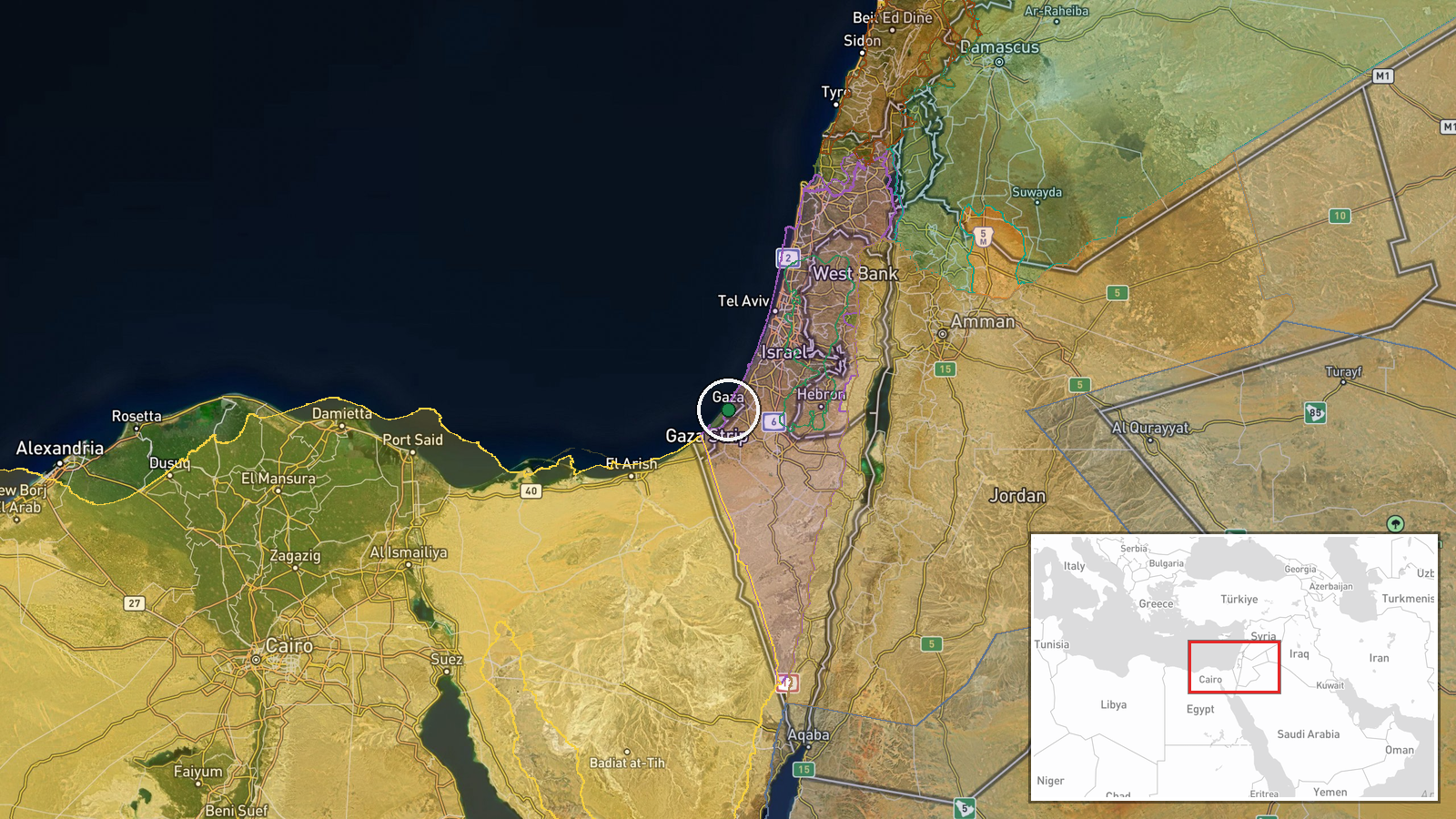
The Gaza Strip, a Palestinian territory on the eastern Mediterranean coast between Israel and Egypt, coordinates 31.51°N, 34.46°E. The region-level precision reflects reporting at territorial scale rather than specific strike locations. The territory remains densely populated and administratively bounded, with satellite imagery contemporaneously documenting widespread structural damage.
Related events nearby
- Google Maps updated satellite imagery of Gaza, revealing the scale of destruction across the territory.2026-09-27 18:26 UTC · Report · Gaza Strip, Palestine
- Israeli Finance Minister Bezalel Smotrich advocates annexation of Gaza territory up to the 'Yellow Line,' prop2026-09-28 10:10 UTC · Statement · Gaza, Palestine
- Israeli National Security Minister Itamar Ben-Gvir posted video confronting Hamas prisoner Hassan Salameh in c2026-09-28 06:06 UTC · Statement · Jerusalem, Israel
- Israeli Finance Minister Bezalel Smotrich declares intent to "Judaize" Galilee and Negev regions, applying sam2026-09-27 22:20 UTC · Statement · Jerusalem, Israel
- Israeli Finance Minister Bezalel Smotrich proposes applying West Bank settlement policies to Galilee and Negev2026-09-27 12:08 UTC · Statement · Jerusalem, Israel
▶ View this event on the live map
Intel Mapper aggregates open-source reports from monitored Telegram and X channels, geolocates them, cross-checks duplicates across sources and assigns a confidence score. Entries are updated as new confirmations arrive. Read how we verify events.