Houthis target Riyadh and Abha airports with ballistic missiles
What happened
Houthi forces reportedly conducted ballistic missile attacks against Riyadh International Airport and Abha Airport in Saudi Arabia on October 7, 2026. The report, posted in Turkish on X by the conflict monitoring account ConflictTR, states both airports were targeted on the same day but provides no details on attack methods, damage assessment, or casualties. The timing and dual targeting suggest a coordinated strike against major Saudi aviation infrastructure.
Context and assessment
Saudi Arabia's two largest airports—Riyadh International and Abha—are critical nodes in the country's air transport and logistics network. Riyadh airport also serves as a hub for military operations across the region. The attack follows a successful Saudi interception of a Houthi ballistic missile north of Riyadh earlier the same day, indicating sustained Houthi strike capacity despite air defense efforts. Notably, Turkey announced deployment of air defense systems and combat aircraft to Saudi Arabia on October 7 to protect Riyadh, holy cities, and energy infrastructure—suggesting heightened regional threat assessment. These attacks may reflect Houthi attempts to pressure Saudi Arabia amid concurrent diplomatic engagement between Syria and Saudi Arabia focused on reconstruction and investment.
Sources and confidence
Single source: X account @ConflictTR. No cross-confirmation from Saudi official statements, international news agencies, or additional conflict monitors reported in available data. Confidence score of 6.0 reflects single-source reporting without independent verification. Confirmation from Saudi military statements, airport authorities, or multiple independent channels would strengthen confidence. Flight tracking data showing airport disruptions or satellite imagery would provide additional validation.
Location
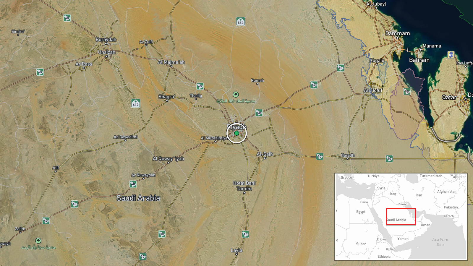
Riyadh International Airport located at coordinates 24.633°N, 46.717°E in Riyadh, Saudi Arabia's capital and largest city. Abha Airport lies approximately 900 kilometers south in the southwestern Asir Region. Both airports sit in Saudi Arabia's interior plateau region. Geographic precision based on settlement-level identification of major civil aviation facilities serving as known Houthi targeting priorities.
Related events nearby
- Turkey and Pakistan agreed to deploy military forces to Saudi Arabia as part of the Mecca Alliance. U.S. Presi2026-10-07 18:49 UTC · Diplomacy · Riyadh, Saudi Arabia
- Syrian government and Saudi Arabia discussing potential military cooperation against Houthi threats in Yemen. 2026-10-07 18:48 UTC · Diplomacy · Riyadh, Saudi Arabia
- Turkey deploying air defense systems, pilots, combat aircraft, and special forces to Saudi Arabia to protect R2026-10-07 08:31 UTC · Deployment · Riyadh, Saudi Arabia
- Saudi-led coalition successfully intercepted and destroyed a Houthi-launched ballistic missile north of Riyadh2026-10-07 02:17 UTC · Air Defense · Al Kharj, Riyadh Region, Saudi Arabia
▶ View this event on the live map
Intel Mapper aggregates open-source reports from monitored Telegram and X channels, geolocates them, cross-checks duplicates across sources and assigns a confidence score. Entries are updated as new confirmations arrive. Read how we verify events.