French military boards Russian shadow fleet tanker in Indian Ocean
What happened
French military forces reportedly conducted a boarding operation against a Russian shadow fleet tanker in the Indian Ocean on October 12. The source, posted via X by conflict monitoring account @ConflictTR, provides limited operational detail. The vessel's identity, the specific circumstances of the boarding, and the outcome remain unspecified in available reporting. Shadow fleet tankers are typically older vessels used to transport Russian oil in circumvention of international sanctions.
Context and assessment
This operation reflects Western efforts to interdict Russia's shadow fleet, a network of aging, often poorly maintained vessels used to move sanctioned crude oil and refined products outside formal international shipping channels. The Indian Ocean remains a critical transit route for such operations, particularly as sanctions pressure continues. French naval involvement suggests coordinated enforcement action, though the scale and strategic significance of individual boardings varies. Such operations typically aim to gather evidence of sanctions violations or document vessel conditions; they form part of broader maritime surveillance and interdiction efforts targeting Russian sanctions evasion networks.
Sources and confidence
Reported by X account @ConflictTR on October 12, 2026. Confidence score of 6.3/10 reflects single-source reporting with limited operational detail and no cross-confirmation from official French military, NATO, or international maritime monitoring sources. Additional confirmation from maritime authorities, French Defense Ministry statements, or independent shipping tracking would strengthen confidence significantly.
Location
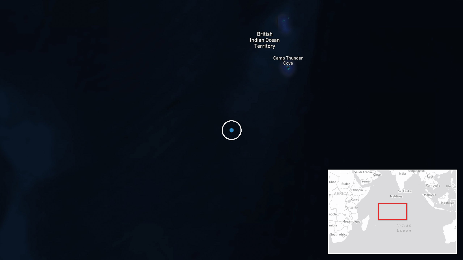
Indian Ocean, regional coordinates approximately 10°S, 70°E. The precise location within the vast Indian Ocean basin is not specified by the source. This general area encompasses major shipping lanes between the Suez Canal approaches and Southeast Asian straits, primary routes for shadow fleet operations avoiding Cape of Good Hope routing.
Related events nearby
- French Navy intercepted and boarded Russian-affiliated oil tanker DF Peak (ex-Kaliningrad, ex-NS Captain) 450 2026-10-13 09:33 UTC · Naval · Indian Ocean, South of Réunion Island
▶ View this event on the live map

Intel Mapper aggregates open-source reports from monitored Telegram and X channels, geolocates them, cross-checks duplicates across sources and assigns a confidence score. Entries are updated as new confirmations arrive. Read how we verify events.