French Navy seizes Russian-affiliated tanker DF Peak in Indian Ocean; Moscow protests
What happened
The French Navy intercepted and boarded the oil tanker DF Peak approximately 450 nautical miles south of Réunion Island on October 12, 2026. The vessel, formerly named Kaliningrad and NS Captain, is affiliated with Russian shipping company Sovcomflot. French President Macron announced the operation, stating it targeted suspected illicit fuel transport linked to Russia's shadow fleet and citing indicators of a false-flag vessel. Moscow's embassy denounced the boarding as piracy and a violation of international maritime law, claiming France provided no prior notification and stating it is investigating whether Russian citizens were aboard.
Context and assessment
The seizure reflects escalating Western enforcement against Russia's shadow fleet—an informal network of aging tankers used to circumvent international sanctions on Russian oil exports. Réunion Island sits in a strategically significant maritime corridor for Indian Ocean trade routes. France's assertion of jurisdiction on the high seas indicates heightened naval enforcement in regions where Russian-affiliated vessels operate outside standard insurance and regulatory frameworks. This operation aligns with broader European naval operations targeting sanctions evasion. The vessel's multiple name changes and Sovcomflot affiliation are consistent with shadow fleet tactics. The dispute over notification and legality underscores the legal grey zones surrounding maritime enforcement in international waters.
Sources and confidence
Single source: X account @Osint613. Confidence score of 5.9 reflects limited corroboration; reporting draws on official French government announcement via Macron and Russian Embassy statement. Cross-confirmation from independent maritime monitoring or additional news agencies would raise confidence. Direct statements from both governments provide credibility but neither has independent verification. Score would lower if vessel identity, boarding circumstances, or French authority citations prove inaccurate.
Location
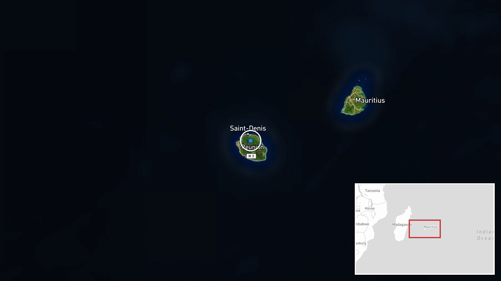
Indian Ocean, approximately 450 nautical miles south of Réunion Island (French territory in the western Indian Ocean). The interception occurred in international waters beyond any nation's exclusive economic zone, heightening legal questions. Réunion Island lies east of Madagascar and approximately 3,700 nautical miles from the Arabian Peninsula, situating the incident within a major global oil-shipping corridor.
Related events nearby
- French military forces conducted boarding/boarding operation against a Russian shadow fleet tanker in the Indi2026-10-12 23:39 UTC · Naval · Indian Ocean
▶ View this event on the live map

Intel Mapper aggregates open-source reports from monitored Telegram and X channels, geolocates them, cross-checks duplicates across sources and assigns a confidence score. Entries are updated as new confirmations arrive. Read how we verify events.