Russian forces reportedly tried to down a Ukrainian FPV drone near Kostyantynivka, Donetsk
What happened
A single post on X from the channel @ConflictTR, written in Turkish, reports that Russian military personnel attempted to shoot down a Ukrainian first-person-view (FPV) drone while it was conducting an attack. The event record dates the post to 22 October 2026 at 22:44 UTC and places the incident near Kostyantynivka in Donetsk Oblast, Ukraine, on the front line. The channel's wording does not give a precise position. The report does not say whether the interception succeeded, whether the drone was destroyed or damaged, or what the intended target was. The event is therefore recorded as an attempted air-defence engagement with an unconfirmed outcome, and the record contains no further detail beyond the short post and its link.
Context and assessment
Kostyantynivka sits on the approach to the Sloviansk and Kramatorsk agglomeration, the largest remaining Ukrainian-held urban area in Donetsk Oblast, which is why fighting in its surroundings is typically intense. The related events in the record show the wider tempo in the same area on the same day. Ukrainian General Staff figures for the period list a large volume of Russian fire, including glide bombs, kamikaze drones and shellings, alongside more than a hundred and forty combat clashes across the front. Separate General Staff entries describe Russian attacks near Ozerne and toward Mykolaivka in the Sloviansk direction, with none reported on the Kramatorsk axis. A guided glide bomb was also tracked heading toward Donetsk Oblast. Taken together, these items describe a front where both sides are relying heavily on small drones and standoff munitions. Operationally, an attempted shoot-down of an FPV drone would suggest that Russian units are defending positions against short-range strike drones, possibly using small-arms, electronic warfare or light air-defence assets. A report from drone unit commanders about possibly lifted Starlink speed limits, still under testing, points to a parallel effort to improve drone connectivity and control, which would make such interception attempts more consequential. These links are suggestive only and do not confirm the cause or result of this engagement.
Sources and confidence
Only one channel reported this incident: the X account @ConflictTR, which posted a brief Turkish-language line with a link. No second outlet, official statement or imagery in the record independently confirms the attempted interception. The confidence score of 5.7 reflects this single-source basis, the vague description of the outcome, and a location assigned at region level with low location confidence. Confidence would rise with corroboration from Ukrainian or Russian military statements, geolocated footage showing the engagement, or wire-service or established OSINT reporting that names the unit or position. It would fall if the post were traced to a recycled video, a different date or a different front sector, or if the account's track record on similar claims proved unreliable.
Location
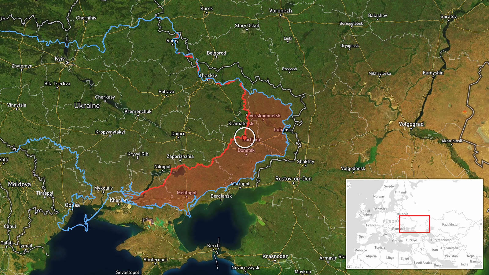
The coordinates in the record, roughly 48.47 North and 37.73 East, are a region-level estimate tied to the front line near Kostyantynivka rather than to a surveyed point, a specific settlement or a named facility. The location confidence is recorded as low. The surrounding terrain is largely open steppe with farmland, rural tracks and scattered settlements, where drones are often used against field positions and vehicles. The town itself lies to the south of the coordinate in the record, and nearby features cited in the dataset include the Donetsk Oblast front line rather than any specific landmark.
Related events nearby
- Ukrainian General Staff daily tally: 3 missile and 48 air strikes, 167 glide bombs, 5,983 kamikaze drones, 2,12026-10-22 19:05 UTC · Combat · Near Kostyantynivka, Donetsk, Ukraine (front line,
- Ukrainian General Staff reports two Russian attacks near Ozerne and toward Mykolaivka (Sloviansk direction), n2026-10-22 05:04 UTC · Combat · Near Kostyantynivka, Donetsk, Ukraine (front line,
- Ukrainian air monitoring: 1 Russian guided glide bomb (KAB) heading toward Donetsk Oblast.2026-10-22 07:17 UTC · Airstrike · Donetsk Oblast, Ukraine
- Drone unit commanders on the Ukrainian front say Starlink speed limits have likely been lifted; testing ongoin2026-10-22 17:41 UTC · Report · Eastern Ukraine front line, Ukraine
- Four soldiers of Ukraine's 65th Brigade survived 320 days of constant assault at a small frontline position; t2026-10-22 13:44 UTC · Report · Donetsk Oblast front line, Ukraine
▶ View this event on the live map

Intel Mapper aggregates open-source reports from monitored Telegram and X channels, geolocates them, cross-checks duplicates across sources and assigns a confidence score. Entries are updated as new confirmations arrive. Read how we verify events.