Drone strike on Ed Daein market area in East Darfur reportedly kills 19 civilians
What happened
A drone strike hit the Ed Daein market area in East Darfur, Sudan, on 20 October 2026 at 13:45 UTC, according to Radio Dabanga, which relayed the account of the Sudan Founding Alliance (Tasees). The alliance says the strike killed 19 civilians and injured 21 others, and that a restaurant north of the main market was hit. It attributes the drone to the Sudanese Armed Forces (SAF). Separately, SAF-linked sources reportedly say the intended target was Ed Daein prison and military facilities. The Radio Dabanga item is a roundup headline covering drone strikes across Khartoum, Darfur, Kordofan and Blue Nile, and the Ed Daein passage appears within that wider report.
Context and assessment
Ed Daein is the state capital of East Darfur, so a strike there carries weight beyond its immediate casualties. Darfur has been one of the most contested regions of Sudan's war, with both SAF and the Rapid Support Forces involved in fighting across the region, although this report does not establish any RSF role in this incident. The strike follows a related event the previous day, when a drone reportedly hit military positions in El Daein, killing five people and wounding 20, including civilians, according to Darfur24 medical sources. Two drone strikes in consecutive days in the same town suggest sustained use of aerial weapons against locations that include both military and urban targets. Where military sites sit close to markets, residential areas or commercial streets, civilian harm becomes difficult to separate from the strike itself. Operationally, the pattern may indicate deliberate targeting of defended facilities, or limited precision in dense urban fabric, and available reporting cannot distinguish between these. If the prison was the target, the attack would also carry a detention-related dimension. Nothing here confirms intent.
Sources and confidence
Only one channel, Radio Dabanga, reported this incident, citing the Sudan Founding Alliance, a political grouping whose account has not been independently verified. The confidence score of 5.4 reflects this single-source position and the lack of independent confirmation of casualties or attribution. The related Darfur24 report from the previous day relies on medical sources and adds context, but it does not cross-confirm this event. Confidence would rise with corroboration from UN agencies, hospital records, local monitors or wire services, and with imagery of impact sites. It would fall if casualty figures were revised or the attribution could not be supported.
Location
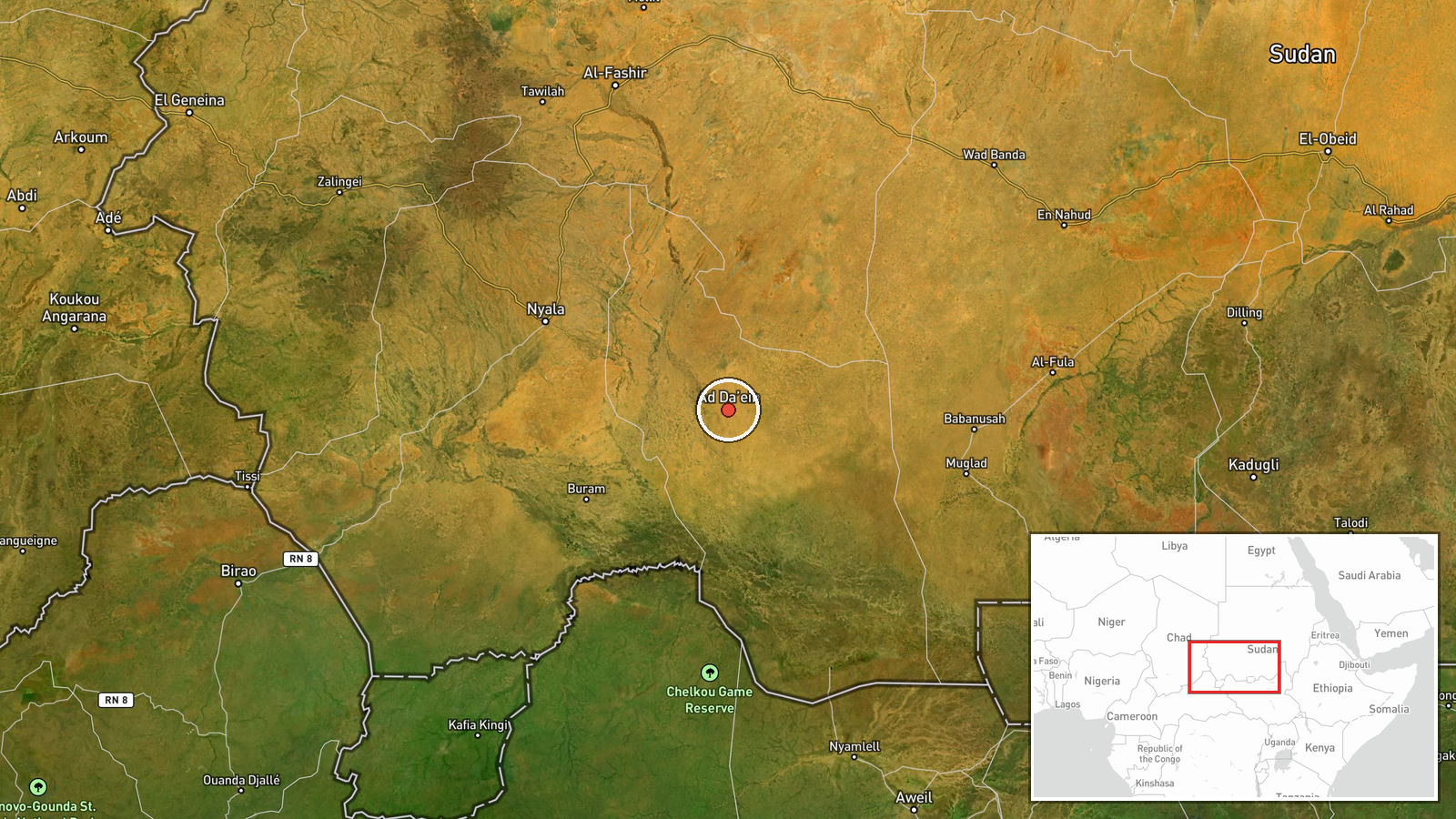
The coordinates are at settlement level, placing the marker on Ed Daein town rather than on the specific restaurant, market stall or facility named in reports. Ed Daein is the capital of East Darfur in western Sudan, set in semi-arid savanna terrain typical of southern Darfur. The market area and the nearby military and prison sites are reported within the town rather than at a precisely confirmed point, so the map position should be read as approximate within town limits.
Related events nearby
- Drone strike on military positions in El Daein killed five people and wounded 20, including civilians, some se2026-10-19 19:06 UTC · UAS Strike · El Daein, East Darfur, Sudan
▶ View this event on the live map

Intel Mapper aggregates open-source reports from monitored Telegram and X channels, geolocates them, cross-checks duplicates across sources and assigns a confidence score. Entries are updated as new confirmations arrive. Read how we verify events.