Turkey and Syria complete second joint floating bridge over Euphrates River
What happened
Turkish and Syrian military forces have completed construction of a second floating bridge spanning the Euphrates River at their shared border, according to Turkish Ambassador to Syria Nouh Yilmaz on 30 August. The structure replaces an earlier bridge damaged by severe flooding that struck the region on 29 August. Turkish General Staff and Syrian Armed Forces coordinated the engineering effort, marking the second such joint bridge construction between the two militaries.
Context and assessment
The Euphrates River forms a natural boundary between Turkey and Syria in the southeast. Cross-border infrastructure requires coordinated military and civilian oversight, particularly in Deir ez-Zor Governorate where water transport and crossing points serve civilian populations and military logistics. Heavy rainfall on 29 August triggered widespread flooding across multiple Syrian governorates and elevated river levels, prompting emergency response measures in Deir ez-Zor. The rapid replacement of flood-damaged crossing infrastructure suggests both sides prioritize maintaining river crossing capacity, likely reflecting the strategic and economic importance of Euphrates transit routes in this border region.
Sources and confidence
Single source: Turkish Ambassador Nouh Yilmaz via Telegram channel @AJSyriaNow on 30 August. No cross-confirmation from independent Syrian or Turkish official statements currently available. Confidence moderate (7.5/10) due to single authoritative source and lack of secondary verification. Confirmation from Syrian military statements or independent visual documentation would strengthen confidence.
Location
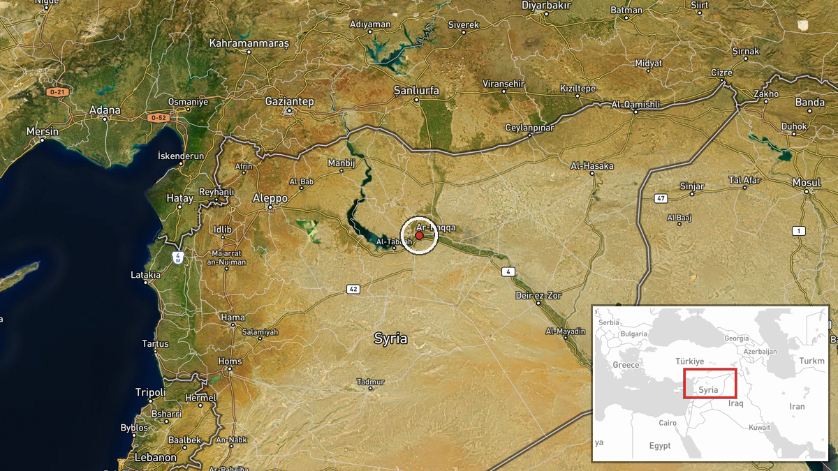
Euphrates River at Turkey-Syria border, near Deir ez-Zor Governorate. Coordinates 35.945°N, 38.82°E indicate southeastern Syria. Precision regional rather than exact facility location. The bridge connects northern (Turkish) and southern (Syrian) riverbanks in an area of significant cross-border civilian and military activity.
Related events nearby
- Heavy rainfall and strong winds struck multiple Syrian governorates (Idlib, Latakia, Homs, Aleppo, Hama) causi2026-08-29 20:40 UTC · Security · Syria (Multiple Governorates)
- Deir ez-Zor Emergency and Disaster Management elevated readiness in response to rising Euphrates River water l2026-08-30 16:02 UTC · Humanitarian Aid · Deir ez-Zor, Deir ez-Zor Governorate, Syria
▶ View this event on the live map
Intel Mapper aggregates open-source reports from monitored Telegram and X channels, geolocates them, cross-checks duplicates across sources and assigns a confidence score. Entries are updated as new confirmations arrive. Read how we verify events.