Israeli forces establish checkpoint at Sad Al-Raqad Bridge on Quneitra-Daraa border
What happened
Israeli occupation forces reportedly established a temporary checkpoint at Sad Al-Raqad Bridge, which straddles the administrative boundary between Quneitra and Daraa governorates in southern Syria. The report, posted to Telegram channel AJSyriaNow on 22 September at 14:36 UTC, does not specify the duration of the checkpoint or Israeli personnel numbers. The checkpoint represents a physical control point on a route linking the two governorates.
Context and assessment
The checkpoint placement follows a pattern of Israeli military activity across Quneitra governorate on 21–22 September, including ground advances near UN disengagement positions in Al-Rafid, detention of a shepherd, and establishment of another checkpoint west of Sidaa Al-Hanut. The Sad Al-Raqad Bridge crossing connects Quneitra to Daraa, a governorate where Israeli forces have conducted intermittent operations. This escalating tempo of checkpoint and position-establishment suggests Israeli forces may be consolidating control over key transit routes in the region, or collecting intelligence on movement between administrative zones. The proximity to UNDOF positions indicates operations occurring within or near the UN-patrolled buffer zone.
Sources and confidence
Single source report via Telegram channel AJSyriaNow, with no corroborating confirmation from other channels or independent observers noted. Confidence score of 7.5/10 reflects single-source reporting and low geographic precision. Confirmation from a second source or visual imagery would raise confidence; clarification of checkpoint purpose or timeline would strengthen assessment.
Location
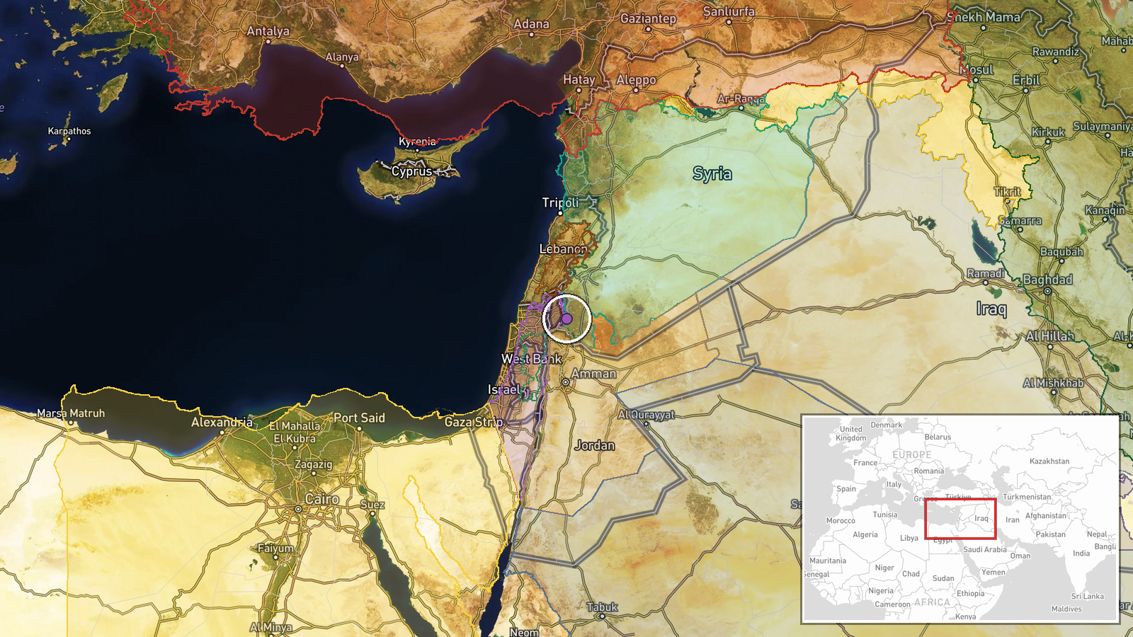
Sad Al-Raqad Bridge is located at the administrative boundary between Quneitra and Daraa governorates in southwestern Syria, approximately 32.90°N, 35.94°E. The bridge crosses a dam structure and serves as a key crossing point between the two governorates. Geographic precision is marked as settlement-level; exact coordinates may vary slightly depending on source methodology. The location lies within or near the UN-patrolled demilitarized zone.
Related events nearby
- Israeli occupation forces advancing near UNDOF position in Al-Rafid village, Quneitra Governorate. Local sourc2026-09-22 06:29 UTC · Combat · Al-Rafid, Quneitra Governorate, Syria
- Israeli occupation forces advanced westward into Saida al-Hanoute village in Quneitra Governorate using three 2026-09-22 13:39 UTC · Combat · Saida al-Hanoute, Quneitra Governorate, Syria
- Israeli drone conducted low-altitude overflight near journalists in Lebanon. No casualties or strikes reported2026-09-22 10:41 UTC · Combat Aircraft · Nabatiyeh Governorate, Lebanon
- Syrian President Ahmad al-Shara enters UN headquarters to participate in UN General Assembly meetings. Part of2026-09-22 13:12 UTC · Diplomacy · Damascus, Syria
- UN Deputy Special Envoy Claudio Cordone and Arab League Secretary General Nabil Fahmy discussed international 2026-09-22 09:16 UTC · Diplomacy · Damascus, Syria
▶ View this event on the live map
Intel Mapper aggregates open-source reports from monitored Telegram and X channels, geolocates them, cross-checks duplicates across sources and assigns a confidence score. Entries are updated as new confirmations arrive. Read how we verify events.