Israeli forces set up temporary checkpoint in northern Quneitra, Syria
What happened
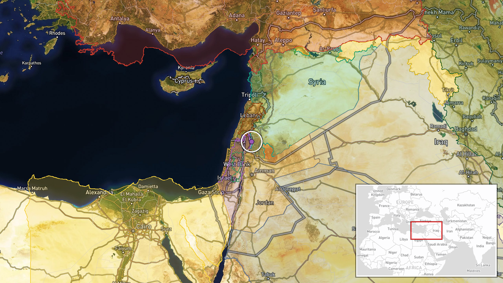
Israeli occupation forces established a temporary checkpoint on the Hadr–Mazari al-Amal road in northern Quneitra Governorate on October 1, deploying four military vehicles to the location. The checkpoint was reported by local sources via Telegram and represents a security operation rather than a direct military engagement. The temporary nature of the deployment suggests a routine or short-term operational measure rather than a permanent position.
Context and assessment
The checkpoint operation occurs amid intensified Israeli military activity across the Quneitra region. On the same day, an Israeli patrol of 12 vehicles reportedly infiltrated Saida village in Quneitra countryside, advancing toward the Yarmouk basin area. These operations reflect broader Israeli security posturing in southwestern Syria near the Golan Heights. The timing coincides with heavy Israeli air operations elsewhere, with over 500 strikes recorded in the past month targeting positions in Lebanon and Gaza. The checkpoint deployment may indicate Israeli efforts to monitor or control movement in northern Quneitra, though the temporary nature limits conclusions about strategic intent.
Sources and confidence
Single Telegram channel (@AJSyriaNow) reported the checkpoint. No cross-confirmation from additional sources is noted. Confidence score of 7.5 reflects reliance on a single local source without independent verification. Confirmation from secondary sources, satellite imagery, or Israeli military statements would raise confidence; retraction or contradicting reports would lower it.
Location
The Hadr–Mazari al-Amal road is located in northern Quneitra Governorate, southwestern Syria near the Israeli-occupied Golan Heights. Geographic precision is regional rather than precise. Quneitra Governorate borders Israel and the Golan Heights to the south and sits in a strategic zone between Damascus and the southern border region.
Related events nearby
- Israeli military patrol of 12 vehicles infiltrated Saida village in Quneitra countryside, advancing toward the2026-10-01 07:16 UTC · Deployment · Saida, Quneitra Countryside, Syria
- Israeli Air Force conducted over 500 strikes in past month: 370+ targeting Hezbollah positions in southern Leb2026-10-01 06:47 UTC · Report · Southern Lebanon and Gaza Strip
- US President Trump claims that without his leadership, Saudi Arabia and Israel would have been 'wiped off the 2026-10-01 11:37 UTC · Humanitarian Aid · Douma, Rif Dimashq, Syria
- Syrian government and Hezbollah held secret face-to-face talks in Turkey in September, brokered by Turkish sec2026-10-01 09:44 UTC · Diplomacy · Dahieh, Beirut, Lebanon
- Kataib Hezbollah claims U.S. spy and combat aircraft continue flying over Iraqi airspace, reasserting the grou2026-09-30 15:10 UTC · Statement ·
▶ View this event on the live map
Intel Mapper aggregates open-source reports from monitored Telegram and X channels, geolocates them, cross-checks duplicates across sources and assigns a confidence score. Entries are updated as new confirmations arrive. Read how we verify events.