Israeli forces encounter students during patrol in Daraa village
What happened
Israeli occupation forces conducted a patrol or checkpoint operation in Abideen village, located in Daraa countryside, Syria on 1 October. According to reporting from Telegram channel AJSyriaNow, two school-age students were encountered by an Israeli military convoy while travelling to school. The report does not specify the nature of the encounter or any resulting incidents beyond the initial contact between the students and the Israeli forces.
Context and assessment
The incident in Abideen occurs amid an apparent escalation of Israeli military activity across southern Syria on 1 October. Related reports document a raid on Al-Humaidiyah village in Quneitra countryside with at least one detainee, a temporary checkpoint deployment on the Hadr–Mazari al-Amal road with four military vehicles, a 12-vehicle patrol infiltrating Saida village toward the Yarmouk basin, and heavy artillery strikes on Mantra Dam's edges. This pattern suggests coordinated operations spanning both Quneitra and Daraa governorates, possibly indicating expanded ground and fire operations in the buffer zone region. The concentration of activity may reflect Israeli responses to regional security concerns or positioning developments in southwestern Syria.
Sources and confidence
Single source reporting via Telegram channel AJSyriaNow (@AJSyriaNow). No cross-confirmation from independent outlets or competing accounts identified. Confidence score of 7.5 reflects typical reliability of regional security channels but limited corroboration. Score could increase with confirmation from additional Syrian or international sources; it would lower if subsequent reporting contradicts the patrol account or questions the location identification.
Location
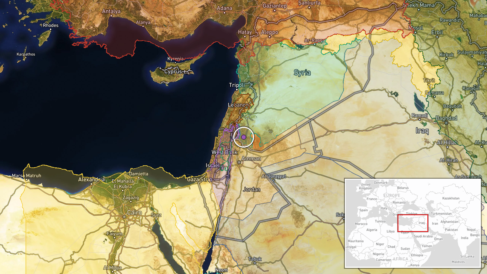
Abideen village is situated in Daraa countryside in southwestern Syria, approximately 32.83°N, 36.10°E. Location precision is classified as region-level with low confidence, indicating the village location is approximate rather than pinpointed to specific facilities or coordinates. Daraa province lies south of Damascus and forms part of Syria's buffer zone bordering Israel and the Israeli-occupied Golan Heights.
Related events nearby
- Israeli occupation forces conducted a raid on Al-Humaidiyah village in Quneitra countryside, detaining at leas2026-10-01 20:11 UTC · Security · Al-Humaidiyah, Quneitra Countryside, Syria
- Israeli occupation forces established a temporary checkpoint on the Hadr–Mazari al-Amal road in northern Qunei2026-10-01 13:41 UTC · Security · Hadr–Mazari al-Amal Road, Quneitra Governorate, Sy
- Israeli military patrol of 12 vehicles infiltrated Saida village in Quneitra countryside, advancing toward the2026-10-01 07:16 UTC · Deployment · Saida, Quneitra Countryside, Syria
- Israeli occupation forces conducted heavy artillery bombardment on the edges of Mantra Dam in central Quneitra2026-10-01 21:34 UTC · Artillery · Mantra Dam, Quneitra Countryside, Syria
- Israeli Air Force conducted over 500 strikes in past month: 370+ targeting Hezbollah positions in southern Leb2026-10-01 06:47 UTC · Report · Southern Lebanon and Gaza Strip
▶ View this event on the live map
Intel Mapper aggregates open-source reports from monitored Telegram and X channels, geolocates them, cross-checks duplicates across sources and assigns a confidence score. Entries are updated as new confirmations arrive. Read how we verify events.