Damascus launches dedicated airport shuttle service from city center
What happened
Syria's Civil Aviation Authority announced a new dedicated bus shuttle connecting Damascus city center to Damascus International Airport. Service launches from Al-Baramakah station with bidirectional routes and scheduled departures throughout the day: six morning departures (06:00–11:00), four afternoon departures (12:00–16:00), and four evening-to-dawn departures (19:00–04:00). The announcement was made by the Syrian Civil Aviation Authority via Telegram.
Context and assessment
The shuttle service announcement follows reported recovery efforts in Syrian aviation infrastructure. On 9 October, the Civil Aviation Authority announced two new Asian airlines preparing operations in Syrian airspace by late October, suggesting gradual normalization of civilian air traffic. Damascus International Airport represents a critical node for civilian connectivity and economic activity. The service reflects efforts to integrate airport operations with urban transport networks and facilitate passenger access during a period of reported aviation sector expansion. These developments indicate the Syrian government's focus on restoring civilian infrastructure capacity.
Sources and confidence
Single source: Syrian Civil Aviation Authority statement via Telegram channel @AJSyriaNow on 10 October. No cross-confirmation from independent aviation monitors or other Syrian government channels reported. Confidence score of 7.6 reflects official government source but limited corroboration. Confirmation from airport operator statements or observed service launch would strengthen confidence.
Location
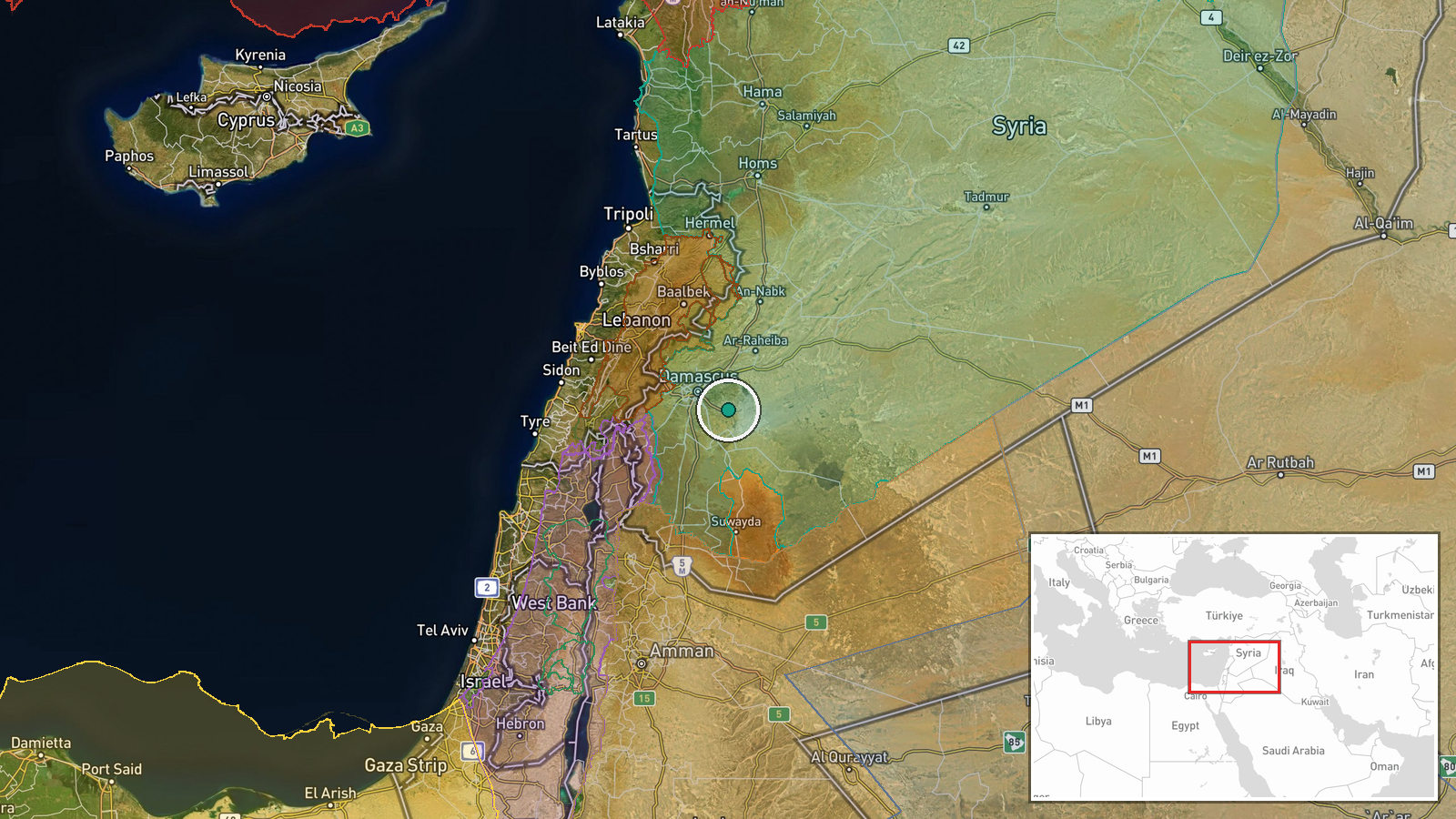
Damascus International Airport located approximately 15 km southeast of central Damascus at coordinates 33.41°N, 36.51°E. Origin point is Al-Baramakah station in Damascus city center. Airport situated on the Ghuta plain east of the city, serving as Syria's primary civilian aviation hub.
Related events nearby
- Syrian Civil Aviation Authority announces two new Asian airlines preparing to begin operations in Syrian airsp2026-10-09 18:51 UTC · Diplomacy · Damascus, Syria
- Syrian Foreign Ministry welcomes UN Security Council reaffirmation of the 1974 Disengagement Agreement and Isr2026-10-09 15:53 UTC · Statement · Damascus, Syria
- Damascus Governorate relocated the Saladin statue from Damascus Citadel to the October War Panorama museum on 2026-10-10 10:49 UTC · Statement · Damascus Citadel (Qalat Dimashq), Damascus, Syria
- Syrian Interior Ministry announces appointment of Brigadier General Nayef Al-Ibrahim as head of internal secur2026-10-10 10:28 UTC · Statement · Damascus, Syria
- Syrian Foreign Ministry condemns Houthi attack on King Khalid International Airport in Riyadh that killed 3 Sa2026-10-09 17:15 UTC · Statement · Damascus, Syria
▶ View this event on the live map

Intel Mapper aggregates open-source reports from monitored Telegram and X channels, geolocates them, cross-checks duplicates across sources and assigns a confidence score. Entries are updated as new confirmations arrive. Read how we verify events.