Dusty atmospheric conditions reported across Deir ez-Zor province
What happened
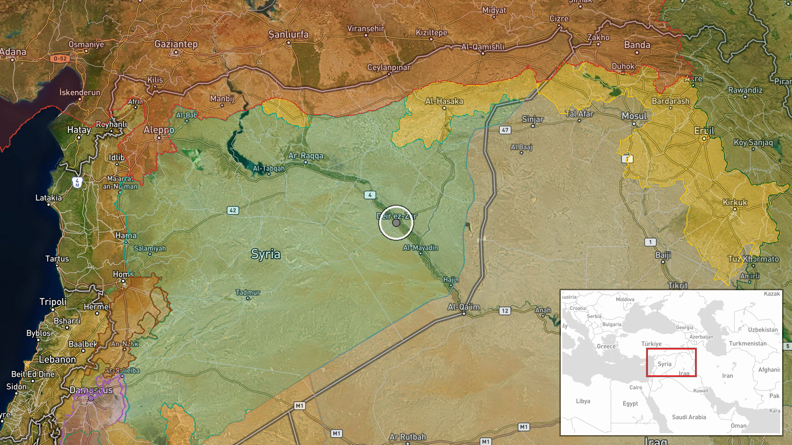
Dusty atmospheric conditions were observed across areas of Deir ez-Zor Governorate in eastern Syria from early morning on October 11, 2026. The report, shared via Telegram, documents a weather or environmental observation with no specific military action or security incident. The conditions affected the region broadly, with exact sub-locations within the governorate not specified in the initial observation.
Context and assessment
Deir ez-Zor Governorate lies in Syria's eastern steppes, bordered by Iraq and spanning the Euphrates River. The province has experienced sporadic security incidents in recent days, including hand grenade casualties among civilians and a fatal attack on a Syrian Army soldier in separate villages. Separately, local anti-narcotics operations have targeted drug trafficking networks in the area. Atmospheric dust is common in the region during certain seasons and can be amplified by activity in poorly stabilized terrain or by wind patterns from adjacent desert regions. The timing and extent of this dust event may reflect natural weather patterns or could correlate with ground activity, though the available data indicates no reported military engagement.
Sources and confidence
Single source: Telegram channel @AJSyriaNow. No cross-confirmation from other channels or independent verification reported. Confidence score of 7.8 reflects the straightforward nature of a weather observation but limited source redundancy. Confirmation by regional meteorological services or multiple independent observers would raise confidence; any indication of dust as a by-product of unreported military activity would require clarification.
Location
Deir ez-Zor Governorate, eastern Syria, centered near the city of Deir ez-Zor (35.34°N, 40.14°E). The governorate straddles the Euphrates River in Syria's eastern steppe region, bordering Iraq to the east. Precision is regional; the report does not identify specific settlements or facilities affected by the dust conditions.
Related events nearby
- Syrian anti-narcotics authority conducted two simultaneous security operations in Deir ez-Zor and Al-Hasakah t2026-10-10 18:01 UTC · Security · Deir ez-Zor, Syria
- Syrian anti-narcotics authority dismantled a drug trafficking network operating in Deir ez-Zor and Al-Hasakah 2026-10-10 13:20 UTC · Security · Deir ez-Zor and Al-Hasakah Governorates, Syria
- Open-source analysis documents notable rise in Euphrates River water level and channel expansion between Raqqa2026-10-10 11:08 UTC · Report · Euphrates River, between Raqqa and Deir ez-Zor, Sy
- Three children from Al-Masrab village, rural Deir ez-Zor, were injured after a hand grenade explosion while pl2026-10-10 10:27 UTC · Security · Al-Masrab, Deir ez-Zor, Syria
- A Syrian Army soldier died from gunshot wounds sustained in an attack by unknown assailants in Baqrass village2026-10-10 09:22 UTC · Security · Baqrass, Deir ez-Zor, Syria
▶ View this event on the live map

Intel Mapper aggregates open-source reports from monitored Telegram and X channels, geolocates them, cross-checks duplicates across sources and assigns a confidence score. Entries are updated as new confirmations arrive. Read how we verify events.