Israeli artillery strikes edges of Taranah village in northern Quneitra, Syria
What happened
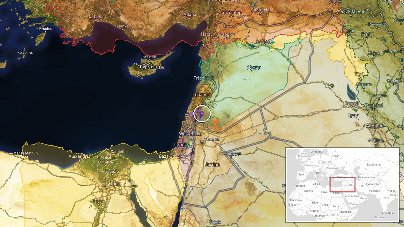
Israeli forces conducted artillery strikes targeting the edges of Taranah village in the northern countryside of Quneitra Governorate, Syria, on 14 October at approximately 15:56 UTC. The report, carried by Syria Now on Telegram, specifies that the strikes hit peripheral areas of the settlement rather than its center. No details on casualties, damage assessment, or military objectives were provided in the initial report.
Context and assessment
Taranah lies in a strategically sensitive area near the Israeli-occupied Golan Heights and the Lebanese border. This strike occurs amid a pattern of Israeli military operations in adjacent areas, including a reported Israeli Brigade 810 operation in Shebaa village, southern Lebanon, on the same day. Syria's Foreign Ministry has repeatedly condemned Israeli violations of Syrian airspace and territory in recent statements, most recently on 13 October when the Foreign Minister directly raised the issue with OPCW officials. The strike may reflect ongoing Israeli security operations in the region, though the specific tactical rationale remains unclear from available reporting.
Sources and confidence
Single source: Telegram channel @AJSyriaNow (Syria Now). No cross-confirmation from Israeli military statements, international monitors, or other independent channels has been identified. Confidence score of 7.6 reflects the single-source reporting and low geographic precision. Confirmation by additional independent sources or Israeli military acknowledgment would increase confidence; contradictory reports or source retraction would lower it substantially.
Location
Taranah village, Quneitra Governorate in southwestern Syria near the Israeli-occupied Golan Heights. Located at approximately 33.14°N, 35.93°E. The coordinates indicate the northern rural countryside of Quneitra; geographic precision is assessed as regional rather than facility-specific. The area sits within Syria's demilitarized zone framework established under the 1974 Disengagement Agreement.
Related events nearby
- Israeli Brigade 810 completed operation in Shebaa village, southern Lebanon. IDF forces located and seized an 2026-10-14 06:26 UTC · Security · Shebaa, South Lebanon, Lebanon
- Syrian Foreign Minister Asaad al-Shaibani reiterates condemnation of Iranian and Houthi attacks, stating regio2026-10-13 19:47 UTC · Statement ·
- Syrian Foreign Minister Asaad Al-Shebani condemns Israeli violations within Syrian territory during press conf2026-10-13 17:24 UTC · Statement · Damascus, Syria
- OPCW Director-General Sabrina Dallafior visited a chemical weapons massacre memorial cemetery in Zamlaka, Rif 2026-10-14 11:55 UTC · Diplomacy · Zamlaka, Rif Dimashq, Syria
- Israeli military patrol with five vehicles infiltrated Wadi al-Raqad area west of Daraa. Three vehicles raided2026-10-14 06:21 UTC · Security · Wadi al-Raqad, Daraa, Syria
▶ View this event on the live map

Intel Mapper aggregates open-source reports from monitored Telegram and X channels, geolocates them, cross-checks duplicates across sources and assigns a confidence score. Entries are updated as new confirmations arrive. Read how we verify events.