Syrian correspondent reports intensive Israeli reconnaissance flights over Daraa airspace
What happened
A Telegram channel attributed to Syria Now's correspondent (@AJSyriaNow) reported intensive flights by Israeli military reconnaissance aircraft over the airspace of Daraa Governorate in southern Syria. The Arabic-language post, published on 16 October 2026 at 11:56 UTC, describes the overflights as intensive but gives no altitudes, flight durations, aircraft types, or indication of strikes or casualties. The report attributes the aircraft to the Israeli army and names only the governorate, not a town or district. Because the wording describes surveillance rather than an attack, the event is categorized as Combat Aircraft in a reconnaissance role. No second outlet had reported the flights at the time of logging.
Context and assessment
Daraa lies in southwestern Syria, bordering Jordan to the south and the Quneitra area that adjoins the Israeli-held Golan Heights. Since the collapse of the Assad government in December 2024, Israeli forces have conducted repeated ground and air activity in the southern provinces, particularly near the Golan ceasefire zone. This report fits a wider pattern visible in related events logged the same day. An Israeli five-vehicle patrol was reported advancing west of Saida al-Hanut in Quneitra countryside at 09:21 UTC, with reconnaissance aircraft overflying western Daraa, which suggests the flights may have supported ground movement. The previous day, Israeli airstrikes were reported against military positions on the Mount Hermon slopes above Baqsam in western Rif Dimashq. A Syrian government statement in Suwayda accused Israel of arming militias to destabilize the Druze community there. Separately, an Israeli air defense interception near the Lebanese border and reported fire on southern Lebanese villages point to a broader regional tempo. These links are suggestive rather than established, and the Daraa report alone does not show intent or targets. The most cautious reading is that the overflights were intelligence gathering in a contested southern corridor.
Sources and confidence
The event rests on a single Telegram channel, Syria Now's correspondent account on @AJSyriaNow, giving a source count of one. The confidence score of 7.6 reflects a named correspondent attribution and a plausible match with other same-day reports, but no independent confirmation of the flights. The score is held below the midpoint because the wording is general and lacks flight-tracking data, imagery, or an official statement. It would rise with corroboration from flight-tracking records, photographs or video of the aircraft, reports from local Daraa outlets, or statements from Syrian or Israeli military sources. It would fall if the channel corrects or withdraws the post, or if the same wording is later traced to an older event. The translation from Arabic is editorial.
Location
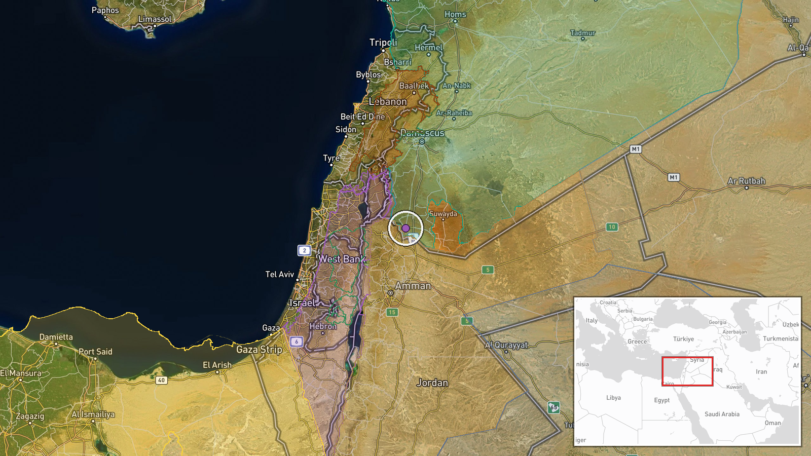
The location is recorded at governorate level, Daraa Governorate, Syria, and geocoded to a regional centroid, so the precision is region rather than a specific settlement. Daraa borders Jordan to the south, Quneitra to the west and southwest, Suwayda to the east, and Rif Dimashq to the north. Its terrain is largely flat to rolling plains, with the Yarmouk River basin and the Jordanian frontier to the south and southwest. The Golan Heights, held by Israel, lie just west of the governorate.
Related events nearby
- Syrian Government official condemns Israeli interference in Suwayda's internal affairs, accuses Israel of armi2026-10-15 17:57 UTC · Statement · Suwayda Governorate, Syria
- Israeli five-vehicle patrol advancing west of Saida al-Hanut in Quneitra countryside, with Israeli reconnaissa2026-10-16 09:21 UTC · Convoy · Al-Mu'akar, Quneitra Governorate, Syria
- Lebanese reports say Beit Yahoun and Al-Mansouri in southern Lebanon are under Israeli fire. Weapon type not s2026-10-16 07:40 UTC · Artillery · Beit Yahoun, South Lebanon
- Israeli air defense systems conducted an interception near the Lebanese border; the incoming threat was neutra2026-10-16 10:14 UTC · Air Defense · Lebanon-Israel border, Israel
- Syrian FM Asaad al-Shaibani met Saudi FM Faisal bin Farhan in Riyadh and reaffirmed Syria's full solidarity wi2026-10-16 13:16 UTC · Diplomacy · Damascus, Syria
▶ View this event on the live map

Intel Mapper aggregates open-source reports from monitored Telegram and X channels, geolocates them, cross-checks duplicates across sources and assigns a confidence score. Entries are updated as new confirmations arrive. Read how we verify events.