Israeli forces reportedly besiege al-Mantara dam in Quneitra as reservoir nears dead level
What happened
A single Telegram channel, @AJSyriaNow, reported on 16 October 2026 that Israeli forces reportedly besiege the al-Mantara dam in Quneitra Governorate, southern Syria, as the reservoir falls to what the post calls its 'dead level' (الحدّ الميت). The original Arabic headline frames the report as a question, asking how Israel is besieging the dam, and links to a video the post invites readers to watch. The text gives no detail on troop numbers, positions, duration, or any damage to the structure. The post describes the dam as among the largest in Quneitra and was posted at 16:48 UTC. No other outlet in the dataset carries the same account, so the siege claim and the water-level description rest on this channel's wording alone.
Context and assessment
Al-Mantara sits in the Quneitra countryside, an area where Israeli forces have maintained a military presence in parts of the southern and western districts since December 2024, according to widely reported accounts. Control of water infrastructure in a semi-arid border zone matters for irrigation, livestock and local supply, so a reported siege of a dam would carry humanitarian as well as military significance, even though the report does not describe any effect on water flows or residents. The same day's related events show a consistent tempo in the same district: an Israeli five-vehicle patrol advancing west of Saida al-Hanut, reconnaissance aircraft overflying western Daraa, and forces advancing into the Mazraat al-Hanut farm, where shepherds were reportedly fired upon. A vigil in Qatana that afternoon, under the slogan 'From Qasioun to Mount Hermon', suggests local opposition to these movements is being voiced. The Lebanon-front entries are geographically separate and should not be read as part of the same operation. Operationally, the sequence may indicate ground activity meant to hold or observe terrain around the Hanut area rather than a discrete raid, but the single-source basis means this remains a hypothesis.
Sources and confidence
Only one channel, Telegram @AJSyriaNow, is listed, and no second outlet, satellite imagery, or official Israeli or Syrian statement appears in the data. The confidence score of 7.0 reflects a specific, clearly located report with a plausible link to same-day patrol activity, offset by the lack of independent corroboration and by the 'dead level' claim being a qualitative description without measurements. Confidence would rise with a second outlet, dated imagery of the reservoir, or named official confirmation. It would fall if the water-level claim proves unsupported or if the siege wording turns out to refer to the wider area rather than the dam itself.
Location
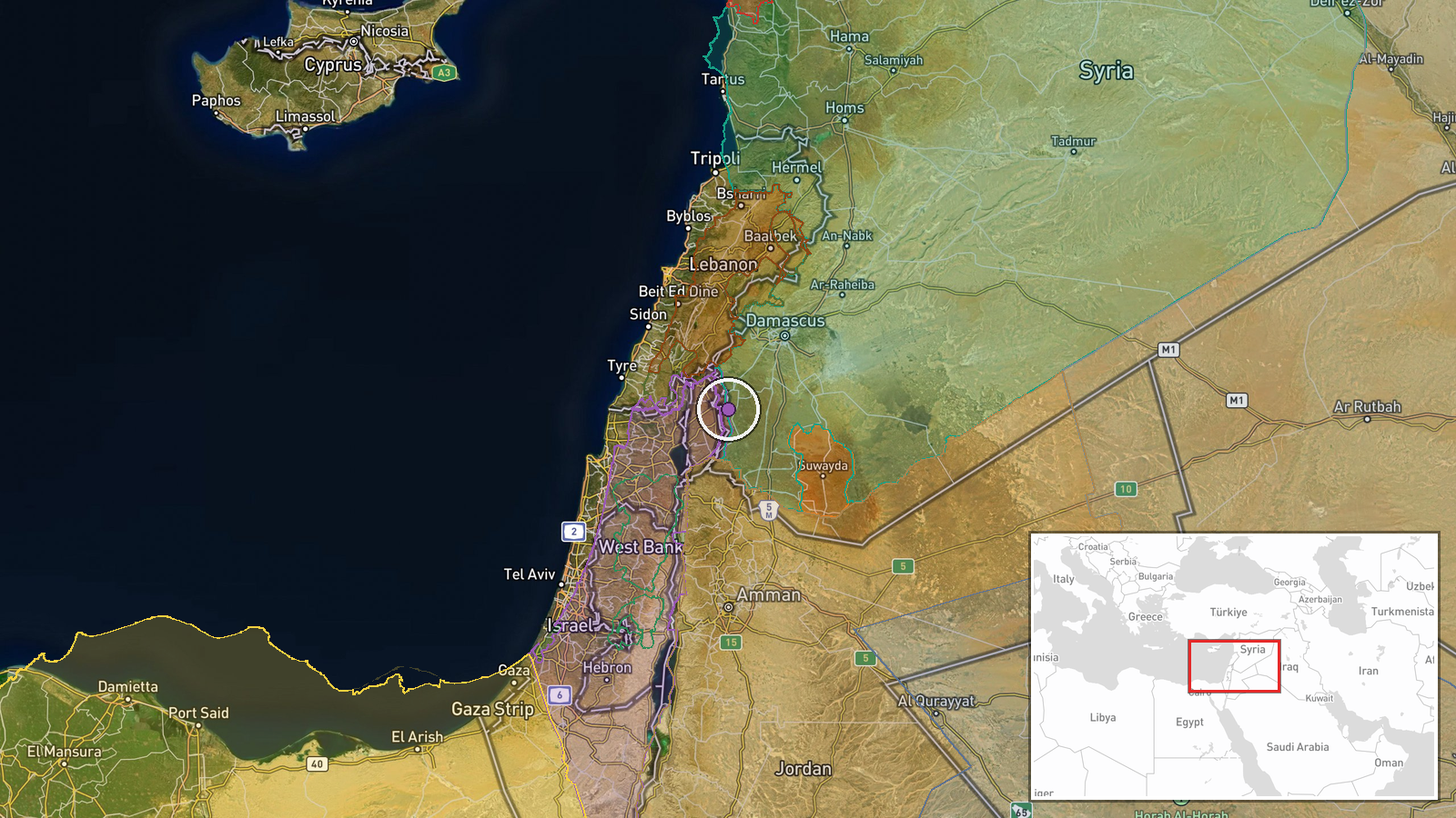
The coordinates place the event at the al-Mantara dam, geocoded at settlement precision with high location confidence, so the point pins the named locality rather than a surveyed structure. Al-Mantara lies in Quneitra Governorate in southern Syria, near the frontier with Israeli-held territory on the Golan and the 1974 disengagement zone. Related events at Mazraat al-Hanut and Saida al-Hanut are in the same countryside, though the data does not give precise distances between them and the dam.
Related events nearby
- Israeli five-vehicle patrol advancing west of Saida al-Hanut in Quneitra countryside, with Israeli reconnaissa2026-10-16 09:21 UTC · Convoy · Al-Mu'akar, Quneitra Governorate, Syria
- Israeli forces advanced into Mazraat al-Hanut farm in southern Quneitra countryside and fired on shepherds her2026-10-16 14:20 UTC · Combat · Mazraat al-Hanut, southern Quneitra countryside, Q
- Israeli air defense systems conducted an interception near the Lebanese border; the incoming threat was neutra2026-10-16 10:14 UTC · Air Defense · Lebanon-Israel border, Israel
- Residents held a vigil in Qatana's Martyrs Square condemning Israeli violations in southern Syria, under the s2026-10-16 14:52 UTC · Statement · Martyrs Square, Qatana, Rif Dimashq, Syria
- Lebanese reports say Beit Yahoun and Al-Mansouri in southern Lebanon are under Israeli fire. Weapon type not s2026-10-16 07:40 UTC · Artillery · Beit Yahoun, South Lebanon
▶ View this event on the live map

Intel Mapper aggregates open-source reports from monitored Telegram and X channels, geolocates them, cross-checks duplicates across sources and assigns a confidence score. Entries are updated as new confirmations arrive. Read how we verify events.