Six incidents across four Syrian governorates reportedly damage the energy sector since mid-August
What happened
A Telegram post from the Al Jazeera Syria Now channel (@AJSyriaNow) reports six incidents across four Syrian governorates that have damaged the energy sector since mid-August. The post is an Arabic headline-style summary that links to a longer article on the Syr.now website, described as a rundown of the most notable damage. The report does not identify the perpetrators, the causes of the incidents, or the specific facilities affected, and it gives no casualty figures. The item was posted on 16 October 2026 at 19:43 UTC. Because the wording describes damage without attributing it, this entry should be read as a report of reported damage rather than a confirmed attack.
Context and assessment
Syria's energy system is spread across a wide territory, with gas and power networks, pipelines, and oil and gas fields concentrated in the east and centre of the country, where security control has changed hands several times over the past decade. Multi-site damage across four governorates is a pattern that differs from a single strike on one plant. It could point to sabotage, theft-related destruction of cables and pipelines, unexploded ordnance, technical failure, or deliberate targeting, and the available reporting does not allow these to be separated. The two related events on the same day are police and army actions, not energy incidents. One involves a nationwide anti-narcotics seizure of 87,000 captagon pills, and the other involves celebrations in the Banias countryside after an arrest in a killing case. They show that security services are active in several areas, but nothing in the data links them to the energy damage. Any operational reading remains speculative until the individual incidents are identified and their causes are established.
Sources and confidence
The entry rests on one source, a Telegram channel run by a established news broadcaster, and the post itself is an aggregated summary without named facilities, dates for each incident, or official comment. No second outlet, authority, or operator is cited in the data, so cross-confirmation is absent. The score of 7.6 reflects the reputation of the channel and the specificity of a multi-governorate count, offset by the single-source basis and the lack of detail. Confidence would rise with independent confirmation from Syrian energy authorities or operators, named locations for each of the six incidents, or corroborating imagery. It would fall if the linked article could not be located, if it gave different figures, or if officials disputed the damage.
Location
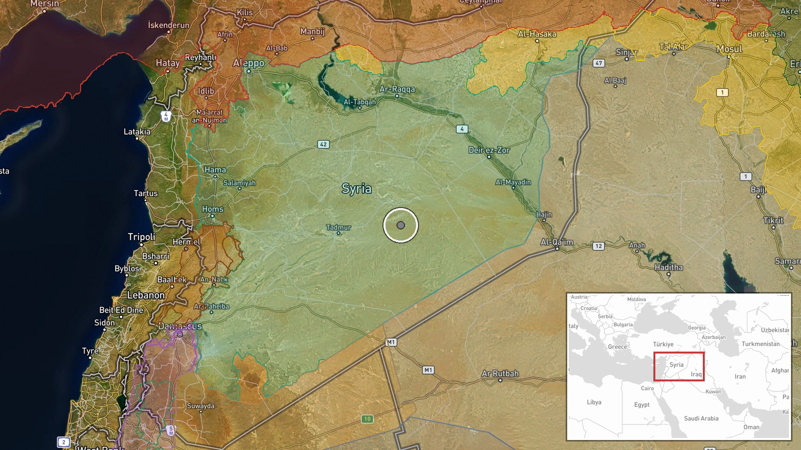
The location is recorded as Syria at region precision, so the coordinates (34.640, 39.049) mark a general national-scale point rather than any facility or town. The four governorates are not named in the data, and the six incidents are not individually placed. The point lies in the interior of Syria, in the arid steppe and desert zone east of the central highlands, an area where many oil and gas installations and pipelines are located. This is background context, not confirmation that any incident occurred there.
Related events nearby
- Syrian Anti-Narcotics Administration arrested a drug trafficker and seized 87,000 captagon pills intended for 2026-10-15 21:38 UTC · Police Operation · Syria (nationwide)
- Celebrations continue in Banias countryside after the arrest of Moaraj Oural, accused of killing Ali Kayali; S2026-10-16 16:30 UTC · Police Operation · Syria (location not reported)
▶ View this event on the live map

Intel Mapper aggregates open-source reports from monitored Telegram and X channels, geolocates them, cross-checks duplicates across sources and assigns a confidence score. Entries are updated as new confirmations arrive. Read how we verify events.