Israeli forces reportedly fired two artillery shells near Abdin village, western Daraa
What happened
A Syria Now correspondent, relayed through the Telegram channel @AJSyriaNow, reported on 21 October 2026 at about 18:09 UTC that Israeli forces fired two artillery shells around Abdin village in the western countryside of Daraa, in southern Syria. The original Arabic post says the shells were fired in the vicinity of the village, wording that describes the general area rather than a confirmed impact point. The report does not mention casualties, damage, or the reason for the firing, and no statement from the Israeli military or Syrian authorities accompanied it. The item rests on a single channel and had not been independently confirmed at the time of publication.
Context and assessment
Western Daraa lies in southwestern Syria near the Jordanian border and the Golan area, which Israel has occupied since 1967. Since the collapse of the Assad government in December 2024, Israeli forces have reportedly operated beyond the 1974 disengagement line, and reports of Israeli fire or ground activity in Daraa and Quneitra governorates have recurred over that period. Artillery is a plausible tool in such settings. It is typically used to signal, suppress, or cover movement at range, so a pair of rounds fired near a village may reflect a warning or area-denial action rather than a targeted strike, although a single report cannot establish intent. The related event in this record, a DNA identification of a family missing in Raqqa for nine years, lies several hundred kilometres to the northeast and involves no shared actor or pattern, so it offers no operational link. Any inference about purpose should remain provisional until further reporting, imagery, or official statements emerge.
Sources and confidence
The incident rests on one Telegram channel, @AJSyriaNow, which relayed a correspondent's Arabic post. No second outlet, wire service, or local monitor in the dataset reports the same firing, so cross-confirmation is absent. The confidence score of 7.6 reflects a named source, a specific timestamp, and a plausible description, tempered by single-source status and the absence of visual evidence. The score would rise if independent outlets, residents' footage, or impact imagery matched the location, or if the Israeli military or Syrian officials commented. It would fall if the channel issued a correction or if geolocation placed the event elsewhere.
Location
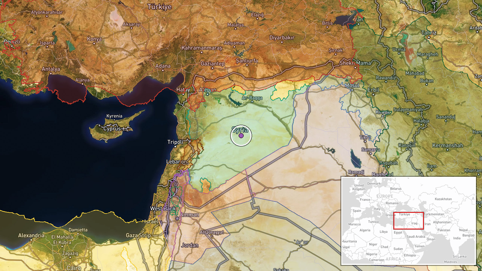
The location is recorded only at region level, with low location confidence. The coordinates, roughly 34.81 N and 38.55 E, fall in central-eastern Syria, well northeast of Daraa governorate, so they should not be read as the village position. Abdin is placed in western Daraa based on the original wording, but the settlement point could not be verified. The surrounding terrain is largely agricultural and semi-arid plain with basalt outcrops, with roads linking Daraa toward the Jordanian border and Quneitra.
Related events nearby
- DNA analysis identified a family missing in Raqqa for nine years, reported as the first case of its kind in Sy2026-10-21 15:42 UTC · Report · Raqqa, Syria
▶ View this event on the live map

Intel Mapper aggregates open-source reports from monitored Telegram and X channels, geolocates them, cross-checks duplicates across sources and assigns a confidence score. Entries are updated as new confirmations arrive. Read how we verify events.