Israeli settlers block Palestinian coffee shop entrance with flags near Nablus
What happened
Israeli settlers planted dozens of flags blocking the entrance to Luban al-Sharqiya, a Palestinian coffee shop located on the main north-south road near Nablus in the West Bank on October 10. According to the shop owner, a settler identified as responsible for the action regularly monitors the flags to ensure they remain in place and has made threats against the business. Palestinian sources report that Israeli police instructed the owner not to remove the flags himself, effectively preventing the shop's normal operation.
Context and assessment
The blocking of commercial access represents a form of settler pressure on Palestinian livelihoods in the West Bank, where such incidents have escalated recently. On the same day, Israeli settlers assaulted a Palestinian father and son elsewhere in the territory, suggesting a broader pattern of settler activity and intimidation. Nablus remains a flashpoint for Israeli-Palestinian tensions, with the town's main roads serving as vital commercial arteries. The involvement of Israeli police in preventing removal of the flags indicates coordination or at minimum tacit authorization of settler actions, a recurring feature of such incidents. This falls within a pattern of economic harassment of Palestinian business owners in contested areas.
Sources and confidence
Reuters reported the incident via Telegram (@ClashReport) on October 10. The report relies on accounts from the Palestinian shop owner and unnamed Palestinian sources regarding police involvement. Single-source reporting and lack of Israeli police comment limit confidence to 6.5. Cross-confirmation from Israeli or international observers, official police statements, or follow-up reporting would strengthen confidence. Visual documentation would also help verify the scale and duration of the blockade.
Location
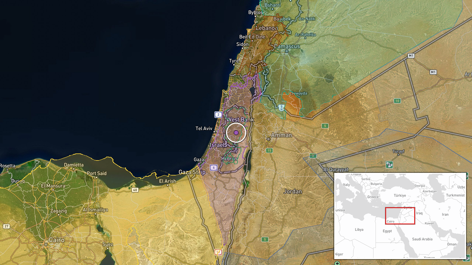
Luban al-Sharqiya is a Palestinian settlement and commercial area situated on the main north-south road in the Nablus vicinity of the West Bank. The location is positioned at coordinates 32.07°N, 35.24°E. The shop's placement on a primary commercial corridor makes it strategically visible to both Palestinian and Israeli traffic, heightening its political significance as a target for settlement pressure.
Related events nearby
- Israeli settlers assaulted a Palestinian father and son, blocking their vehicle and beating both occupants in 2026-10-10 06:21 UTC · Security · West Bank, Palestinian Territories
- Trump and Netanyahu reportedly held discussions in recent weeks regarding a potential military strike against 2026-10-10 21:28 UTC · Statement · Jerusalem, Israel
- Abdusselam Haniye, son of Hamas ex-Political Bureau Chief Ismail Haniye, thanks President Erdoğan and Turkish 2026-10-10 14:06 UTC · Statement · Gaza City, Gaza
- Israeli airstrikes conducted against Gaza. No specific targets, casualties, or impact details provided.2026-10-10 19:53 UTC · Airstrike · Gaza, Gaza Strip
- Israeli occupation forces conducted patrol with two vehicles in Jumlah village, western rural Daraa. Forces in2026-10-10 09:01 UTC · Security · Jumlah, Quneitra, Syria
▶ View this event on the live map

Intel Mapper aggregates open-source reports from monitored Telegram and X channels, geolocates them, cross-checks duplicates across sources and assigns a confidence score. Entries are updated as new confirmations arrive. Read how we verify events.