Israeli Defense Minister Claims Destruction of Hezbollah Strongholds in Southern Lebanon
What happened
Israeli Defense Minister Israel Katz stated on September 2 that Israeli forces have destroyed areas in southern Lebanon and ruined dozens of villages that served as Hezbollah strongholds. The statement was made via Telegram and reported by ClashReport. Katz did not provide specific casualty figures, timeline details, or names of targeted villages in the public statement, characterizing the operations in broad terms as targeting infrastructure associated with the militant organization.
Context and assessment
Southern Lebanon has long been a base of operations for Hezbollah, which maintains military infrastructure, training facilities, and logistics networks throughout the region. The statement reflects an apparent intensification of Israeli operations in Lebanon, occurring alongside multiple indicators of regional escalation: Syrian reports of repeated Israeli incursions, U.S. Embassy warnings for Americans to leave the Middle East, and Qatari statements alleging Israeli exploitation of regional tensions. These concurrent developments suggest a broader pattern of Israeli military activity across Lebanon and Syria, though the scale and specific impact of operations in southern Lebanon remain unverified beyond official claims.
Sources and confidence
Reported solely via Telegram channel ClashReport on September 2, 2026. This represents a single-source claim without independent corroboration from other intelligence channels, journalists on the ground, or third-party verification. The confidence score of 7.0 reflects that the statement originates from an official Israeli government source but lacks cross-confirmation. Verification would require satellite imagery, reporting from Lebanese authorities, or independent media access to affected areas.
Location
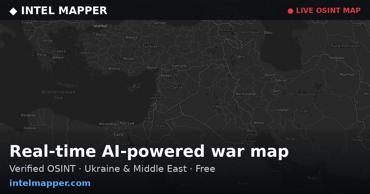
Southern Lebanon, approximately 33.25°N, 35.51°E. The region encompasses territory south of the Litani River, extending to the Israeli border. Southern Lebanon contains numerous villages and has historically hosted Hezbollah military positions, training camps, and supply routes. The area's proximity to the Israel-Lebanon border and its rugged terrain make it strategically significant for armed groups operating in the region.
Related events nearby
- Israeli occupation forces detained a shepherd west of Ar-Rafeyd in Quneitra countryside for several hours, the2026-09-01 15:40 UTC · Security · Ar-Rafeyd, Quneitra Governorate, Syria
- U.S. Embassy in Qatar advises American citizens to depart the Middle East region amid escalating regional tens2026-09-01 17:04 UTC · Statement · Doha, Qatar
- Qatar's Foreign Ministry spokesperson warns that Israel is exploiting regional escalation to alter the status 2026-09-01 11:05 UTC · Statement · Doha, Qatar
- Syrian authorities begin rehabilitation work on Mezzeh Airport next week, transitioning it from military to ci2026-09-02 10:40 UTC · Humanitarian Aid · Mezzeh Airport, Damascus, Syria
- Syrian Foreign Minister Asaad al-Shaybani revealed 117 Israeli incursions into Syrian territory over 49 days d2026-09-01 13:16 UTC · Statement · Damascus, Syria
▶ View this event on the live map
Intel Mapper aggregates open-source reports from monitored Telegram and X channels, geolocates them, cross-checks duplicates across sources and assigns a confidence score. Entries are updated as new confirmations arrive. Read how we verify events.