Iran's IRGC Navy reports targeting US Saildrone at Strait of Hormuz entrance
What happened
Iran's Islamic Revolutionary Guard Corps (IRGC) Navy announced on September 10 that it targeted a US-operated Saildrone, an unmanned surface vessel designed for maritime surveillance and reconnaissance, at the entrance to the Strait of Hormuz. The announcement was made via Telegram by ClashReport. No details were provided regarding the method of targeting, damage assessment, or whether the vessel was destroyed or disabled. The report represents an official Iranian claim rather than independent confirmation of the engagement's outcome.
Context and assessment
The Strait of Hormuz, through which roughly one-third of globally traded seaborne oil passes, remains a strategically contested waterway where Iran and US forces maintain competing operational presence. This incident occurs amid broader escalation in the Persian Gulf on September 10, including reported deployments of Iranian electro-optical guided missiles against US warships, explosions on Qeshm Island, and a US airstrike on Sirik in Hormozgan Province. The Saildrone represents a key US intelligence-gathering asset; Iranian claims of targeting such vessels may signal attempts to contest US maritime surveillance capabilities and demonstrate operational responsiveness to perceived threats in contested waters.
Sources and confidence
Single source: Telegram channel ClashReport. No independent confirmation from US military statements, allied sources, or satellite imagery reporting available in provided data. Confidence score of 7.0 reflects the official nature of IRGC announcements but the absence of corroborating reports. Confirmation from US Department of Defense or allied maritime tracking would strengthen confidence; acknowledgment of vessel loss by Iran would lower credibility if contradicted.
Location
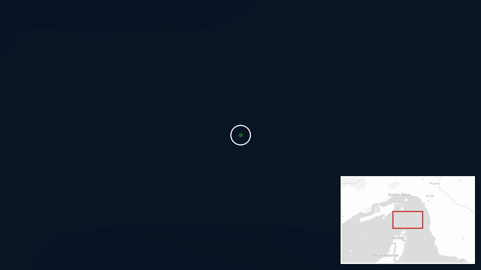
Strait of Hormuz entrance, between the Arabian Peninsula and Iran's Hormozgan Province coast. Coordinates 26.6°N, 56.5°E place the reported incident at the northern approaches to the Strait. This narrow chokepoint, approximately 21 nautical miles wide at its narrowest, is within Iran's claimed operational area and proximate to Iranian bases on Qeshm Island and the mainland coast.
Related events nearby
- Iran deployed electro-optical missiles with camera-guided course-correction capability against U.S. warships i2026-09-10 07:15 UTC · Naval · Bandar Abbas, Hormozgan, Iran
- Explosions reported on Qeshm Island in southern Iran. Cause remains unclear; no immediate attribution to any p2026-09-10 07:46 UTC · Explosion · Qeshm Island, Hormozgan Province, Iran
- US forces conducted airstrike on Sirik in southern Iran's Hormozgan Province. Minimal details available; no ca2026-09-10 07:46 UTC · Airstrike · Sirik, Hormozgan Province, Iran
▶ View this event on the live map
Intel Mapper aggregates open-source reports from monitored Telegram and X channels, geolocates them, cross-checks duplicates across sources and assigns a confidence score. Entries are updated as new confirmations arrive. Read how we verify events.