Ukraine reports 11 combat clashes on North Slobozhansky axis in Sumy Oblast by 22:00 on Oct 16
What happened
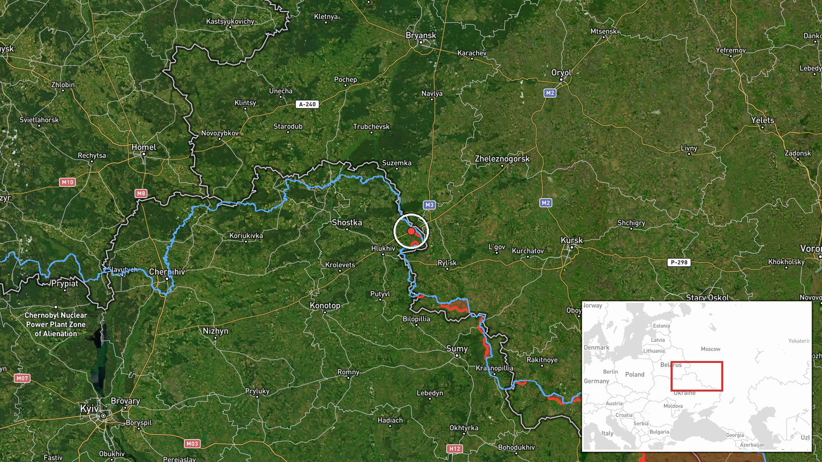
The Ukrainian General Staff reported on its Telegram channel that as of 22:00 on 16 October 2026, eleven combat clashes had taken place on the North Slobozhansky axis in Sumy Oblast. The statement names districts around Tovstodubove, Mala Slobidka, Bunyachyne, Doroshivka, Neskuchne, Shpyl, Hrafskoho, Sadky and Mohrytsia, and says one engagement was still continuing at the time of writing. The original Ukrainian wording refers to clashes in these areas rather than at each named settlement, so the report describes a general zone of activity rather than a precise position for each clash. No casualties, weapons or units are identified. The map pin marks Tovstodubove as a representative point, not a confirmed site of any single engagement.
Context and assessment
Sumy Oblast borders Russia's Kursk and Bryansk regions, and the North Slobozhansky axis has been a recurring focus of cross-border fighting and Ukrainian defensive reporting. The report fits a pattern visible in related events from the same day. Earlier on 16 October, Ukrainian sources logged Russian artillery shelling across numerous Sumy Oblast settlements and an airstrike on Vilna Sloboda. Air monitoring recorded several Shahed-type drones moving toward or past Sumy, including one jet-powered Geran-3 passing south of the city heading west. A separate entry records a Ukrainian strike on a Russian electronic warfare station near Novozybkov in Bryansk Oblast within the same window. Taken together, these entries describe a day of sustained pressure along the border belt, with artillery, aerial and drone activity alongside ground clashes. Operationally, a cluster of named localities in a single update may indicate probing or sustained contact across a broad front rather than one assault. The clash still ongoing at reporting time suggests the picture may still be developing. These readings are inferences from the reporting pattern, not established intent.
Sources and confidence
The only channel cited is the Telegram account of the Ukrainian General Staff, an official military source, so the claim is attributed to a government body rather than an anonymous account. No independent outlet, second official account, satellite imagery or geolocated footage is listed to confirm the eleven clashes or the named localities. The confidence score of 8.0 reflects a credible official origin offset by single-source status and the lack of outcome and location detail. Confidence would rise with corroboration from Sumy regional authorities, independent monitoring or geolocated imagery, or follow-up reporting on the ongoing clash. It would fall if later updates revise the count or the named areas cannot be matched to observed activity.
Location
The pin sits on Tovstodubove, a settlement in Sumy Oblast in northeastern Ukraine, placed at settlement precision with normal location confidence. Because the source names several localities rather than one site, the marker is an approximate anchor for the broader North Slobozhansky area, not the exact location of any clash. The setting is rural and close to the Russian border, with farmland and small villages typical of the region. Nearby named localities such as Mala Slobidka, Bunyachyne and Mohrytsia are more useful reference points for the reported activity.
Related events nearby
- Russian forces shelled numerous Sumy Oblast settlements in the past day, and an airstrike hit Vilna Sloboda.2026-10-16 05:04 UTC · Artillery · Khotin, Sumy, Ukraine
- Ukrainian air monitoring: 1 Russian Shahed-type drone heading toward Sumy.2026-10-16 15:08 UTC · Drone Transit · Sumy, Ukraine
- Ukrainian air monitoring: 1 Russian Shahed-type drone heading toward Sumy.2026-10-16 04:58 UTC · Drone Transit · Sumy, Ukraine
- Ukrainian Defense Forces struck a Russian electronic warfare station near Novozybkov, Bryansk Oblast, on Octob2026-10-16 14:29 UTC · Combat · Ozarionnyi, Bryansk Oblast, Russia
- Ukrainian air monitoring: 1 Russian jet-powered Shahed (Geran-3) drone passing south of Sumy, heading west.2026-10-16 01:23 UTC · Drone Transit · south of Sumy, Ukraine
▶ View this event on the live map

Intel Mapper aggregates open-source reports from monitored Telegram and X channels, geolocates them, cross-checks duplicates across sources and assigns a confidence score. Entries are updated as new confirmations arrive. Read how we verify events.