Ukrainian Air Force channel reports one Russian Shahed-type drone heading toward Sumy
What happened
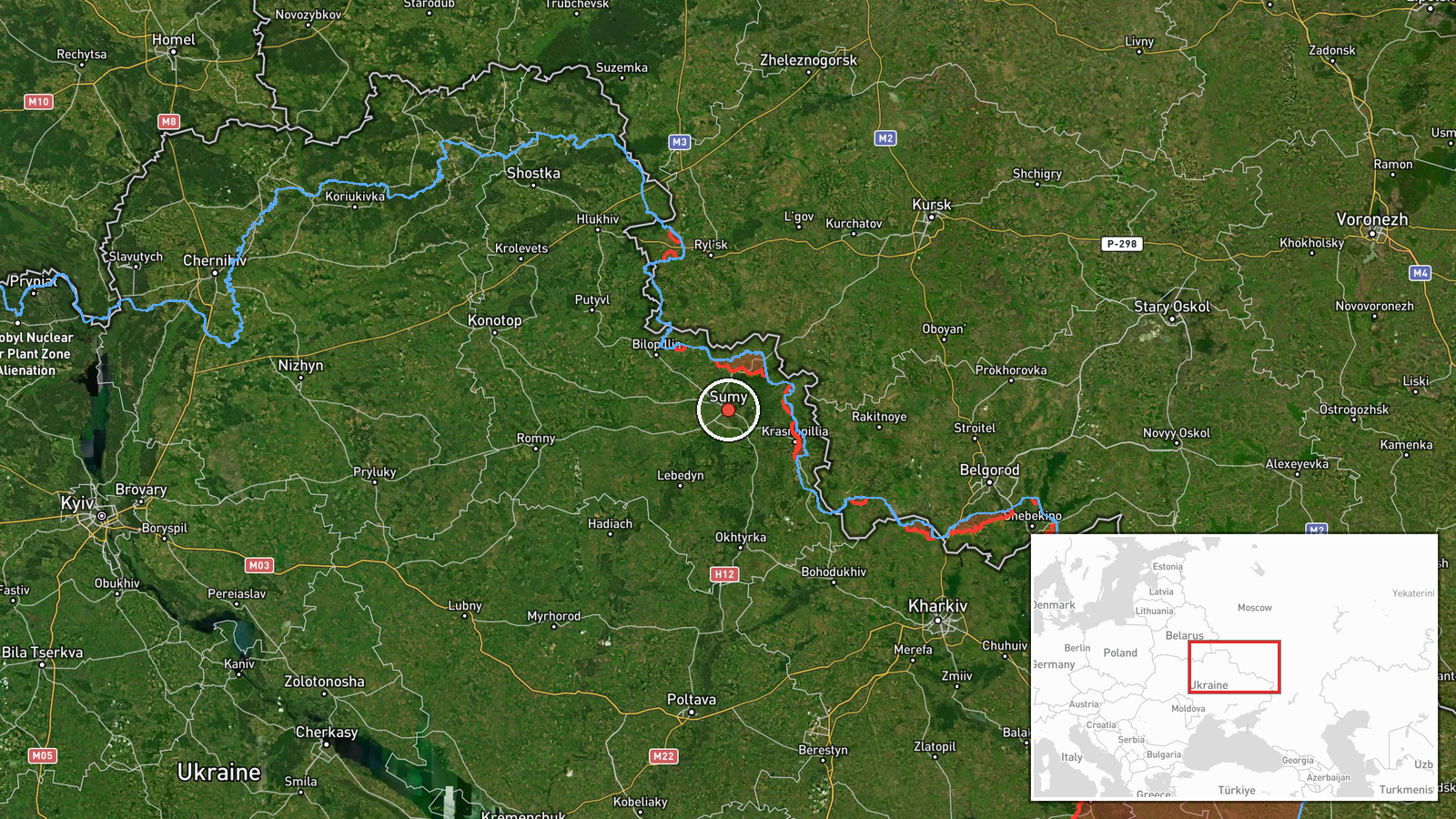
Ukraine's Air Force monitoring channel on Telegram, @kpszsu, reported on 16 October 2026 at 15:08 UTC that a single Russian Shahed-type drone was heading toward Sumy. The original Ukrainian post, marked with a motorcycle-style strike-drone emoji, reads roughly as 'Strike UAV toward Sumy from the north,' which suggests an approach from the north, while the English summary only describes the heading toward the city. The report gives no information on impact, damage, or casualties, and it does not identify the drone variant beyond the Shahed-type label. The event is logged as a drone transit, meaning an aerial object tracked in flight rather than a confirmed strike on a target.
Context and assessment
Sumy is a regional center in northeastern Ukraine, close to the Russian border, and Sumy Oblast has seen repeated shelling and aerial attacks throughout the war. The related events show a dense cluster of activity on the same day. At 01:23 UTC a jet-powered Shahed, identified as a Geran-3, was reported passing south of Sumy heading west. At 01:34 two or more Geran-3 drones were reported over northern Poltava Oblast, also heading west. At 04:58 another drone was reported heading toward Sumy, and at 05:04 Russian forces were reported to have shelled numerous Sumy Oblast settlements over the previous day, with an airstrike hitting Vilna Sloboda. The previous evening, a guided glide bomb was reported heading toward northern Kharkiv Oblast. Taken together, this points to sustained long-range drone traffic across the northeast within roughly fifteen hours, mixing standard Shahed-type and jet-powered variants with glide-bomb activity further east. Operationally, this may indicate a repeated pattern of drone routes passing over or near Sumy, which could reflect attacks aimed at infrastructure beyond the city, reconnaissance, or route-based probing. The data does not establish whether this particular drone was targeting the city itself.
Sources and confidence
All information comes from a single Telegram channel, @kpszsu, and no independent outlet in the dataset confirms it. The confidence score of 8.0 reflects that the channel is an official-style air monitoring source with a generally consistent reporting pattern, but the report is terse, is not corroborated by a second feed, and includes no imagery or flight track. Confirmation from a regional military administration, a follow-up Air Force statement, or reports of impacts or debris would raise confidence. Conflicting tracking data, or the absence of any further reports of activity over Sumy, would lower it.
Location
The location is recorded at settlement level for the city of Sumy, using coordinates of roughly 50.91 N and 34.80 E, with high location confidence because the report names the city directly. The point is the city center rather than a specific facility, since the source does not indicate a target. Sumy lies in northeastern Ukraine on the Psel River, a short distance from the Russian border, and its surroundings include farmland and forest belts typical of the region.
Related events nearby
- Ukrainian air monitoring: 1 Russian Shahed-type drone heading toward Sumy.2026-10-16 04:58 UTC · Drone Transit · Sumy, Ukraine
- Russian forces shelled numerous Sumy Oblast settlements in the past day, and an airstrike hit Vilna Sloboda.2026-10-16 05:04 UTC · Artillery · Khotin, Sumy, Ukraine
- Ukrainian air monitoring: 1 Russian jet-powered Shahed (Geran-3) drone passing south of Sumy, heading west.2026-10-16 01:23 UTC · Drone Transit · south of Sumy, Ukraine
- Ukrainian air monitoring: 2+ Russian jet-powered Shahed (Geran-3) drones passing northern Poltava Oblast, head2026-10-16 01:34 UTC · Drone Transit · northern Poltava Oblast, Ukraine
- Ukrainian air monitoring: 1 Russian guided glide bomb (KAB) heading toward northern Kharkiv Oblast.2026-10-15 18:06 UTC · Airstrike · northern Kharkiv Oblast, Ukraine
▶ View this event on the live map

Intel Mapper aggregates open-source reports from monitored Telegram and X channels, geolocates them, cross-checks duplicates across sources and assigns a confidence score. Entries are updated as new confirmations arrive. Read how we verify events.