Jet-powered Shahed drones tracked over Poltava and Vinnytsia oblasts, heading west and north
What happened
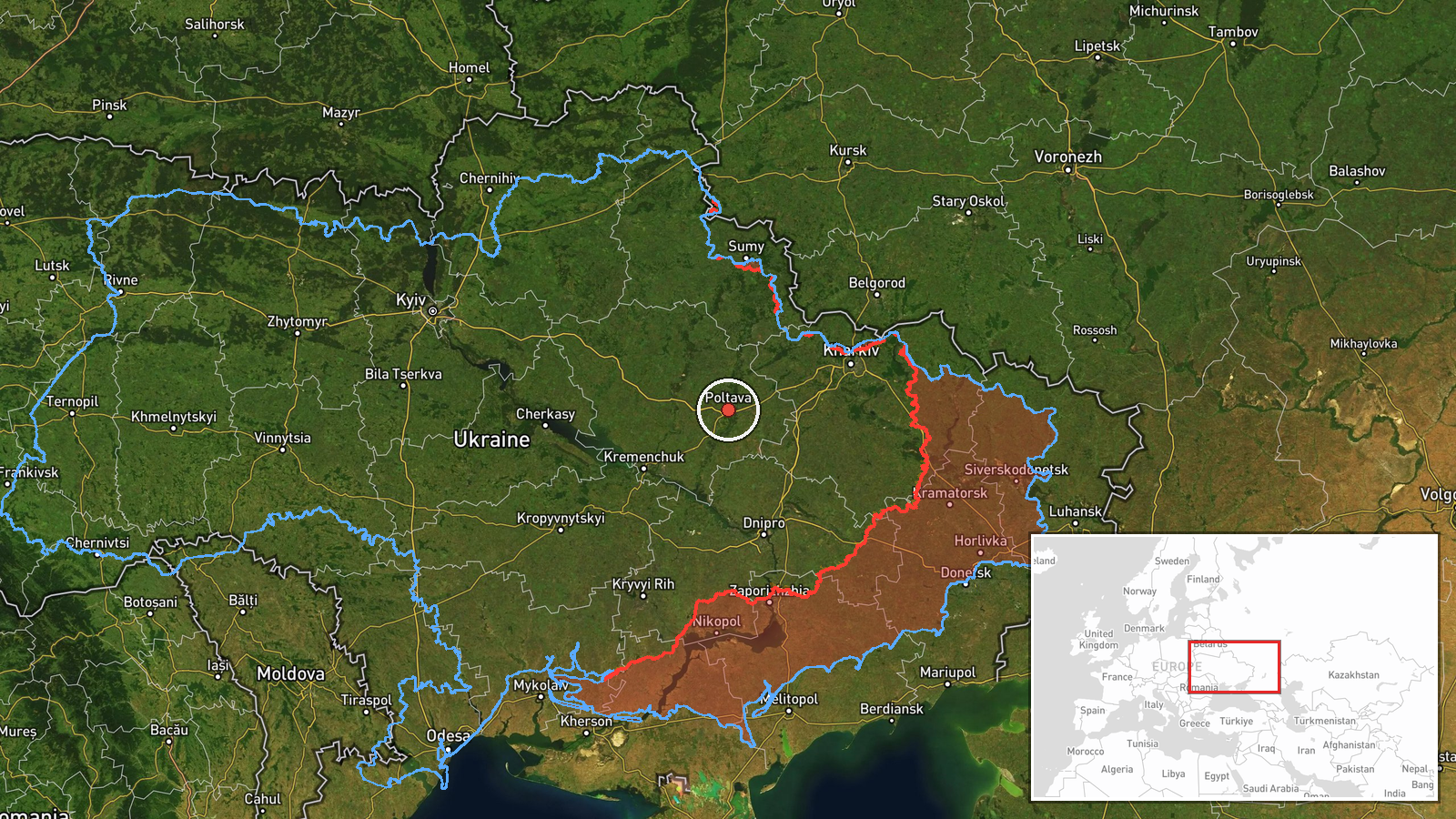
Ukraine's air monitoring channel @kpszsu reported on 16 October 2026 at 01:34 UTC that jet-powered Shahed (Geran-3) drones were tracked over western and northern Poltava Oblast, moving west, and that a separate jet-powered drone was over northern Vinnytsia Oblast heading north. The original Ukrainian-language post uses the term 'реактивні БпЛА' and gives direction only, without naming impact sites, casualties, or damage. The report describes the aircraft as in transit rather than as strikes on specific targets. The event is classed as a drone transit attributed to Russia. Its map position is a regional centroid for western Poltava Oblast rather than a specific settlement. The report rests on a single channel, and no corrections were recorded at the time of this page update.
Context and assessment
Poltava Oblast has appeared repeatedly in the preceding day's reporting. On 15 October, air monitoring logged jet-powered Geran-3 drones passing Pivnichnyi and Shyshaky, both described as heading toward Poltava city, and another drone moving northwest across the oblast. Within the same window, a Banderol mini cruise missile was reported heading toward and then over Poltava Oblast. Taken together, this suggests the region lies on a recurring corridor for aircraft moving through central Ukraine, with Poltava acting as a waypoint or a point of approach rather than an isolated target. The westward heading of the new tracks is consistent with routing toward western Ukraine, while the northward drone over Vinnytsia points to a separate track that may be following a different route. Operationally, transit reports of this kind are useful for showing that jet-powered Shaheds are being flown across a broad belt of the country, but they do not on their own establish intended targets, and the direction of travel can change after a track is reported. Analysts usually treat such clusters as indicators of routing and force posture rather than as evidence of a particular strike.
Sources and confidence
All information comes from a single Telegram channel, @kpszsu, which posts Ukrainian air monitoring alerts. No second channel, official statement, or independent tracking source is listed for this event, so cross-confirmation is absent. The confidence score of 8.0 reflects that the channel is an established monitoring source with a consistent record of similar alerts, offset by the lack of corroboration and the brief, direction-only wording. Confidence would rise if other monitoring channels, regional military administrations, or the Air Force reported matching tracks, or if later reporting identified the same drones at specific locations. It would fall if subsequent updates revised the headings, showed the tracks were misidentified, or failed to match any other reported activity.
Location
The coordinates are a region-level centroid for western Poltava Oblast, not a specific settlement, and the location confidence is recorded as low. The report names no settlement for these drones, so the point represents the general area described. The region is mostly flat agricultural land of the central Ukrainian plains, with the Vorskla river valley crossing the oblast. Poltava city lies in the region's central part, and the Dnipro basin lies to the east.
Related events nearby
- Ukrainian air monitoring: 1 Russian Banderol mini cruise missile over Poltava Oblast.2026-10-15 12:08 UTC · Cruise Missile · Poltava Oblast, Ukraine
- Ukrainian air monitoring: 1 Russian Banderol mini cruise missile heading toward Poltava Oblast.2026-10-15 12:05 UTC · Cruise Missile · Poltava Oblast, Ukraine
- Ukrainian air monitoring: 1 Russian jet-powered Shahed (Geran-3) drone passing Shyshaky, heading toward Poltav2026-10-15 07:25 UTC · Drone Transit · Poltava, Ukraine
- Ukrainian air monitoring: 1 Russian jet-powered Shahed (Geran-3) drone passing Pivnichnyi, heading toward Polt2026-10-15 06:13 UTC · Drone Transit · Poltava, Ukraine
- Ukrainian air monitoring: 1 Russian jet-powered Shahed (Geran-3) drone passing Poltava Oblast, heading northwe2026-10-15 04:00 UTC · Drone Transit · Poltava Oblast, Ukraine
▶ View this event on the live map

Intel Mapper aggregates open-source reports from monitored Telegram and X channels, geolocates them, cross-checks duplicates across sources and assigns a confidence score. Entries are updated as new confirmations arrive. Read how we verify events.