RSF claims seizure of tanks and heavy weapons from SAF in Blue Nile State, unverified
What happened
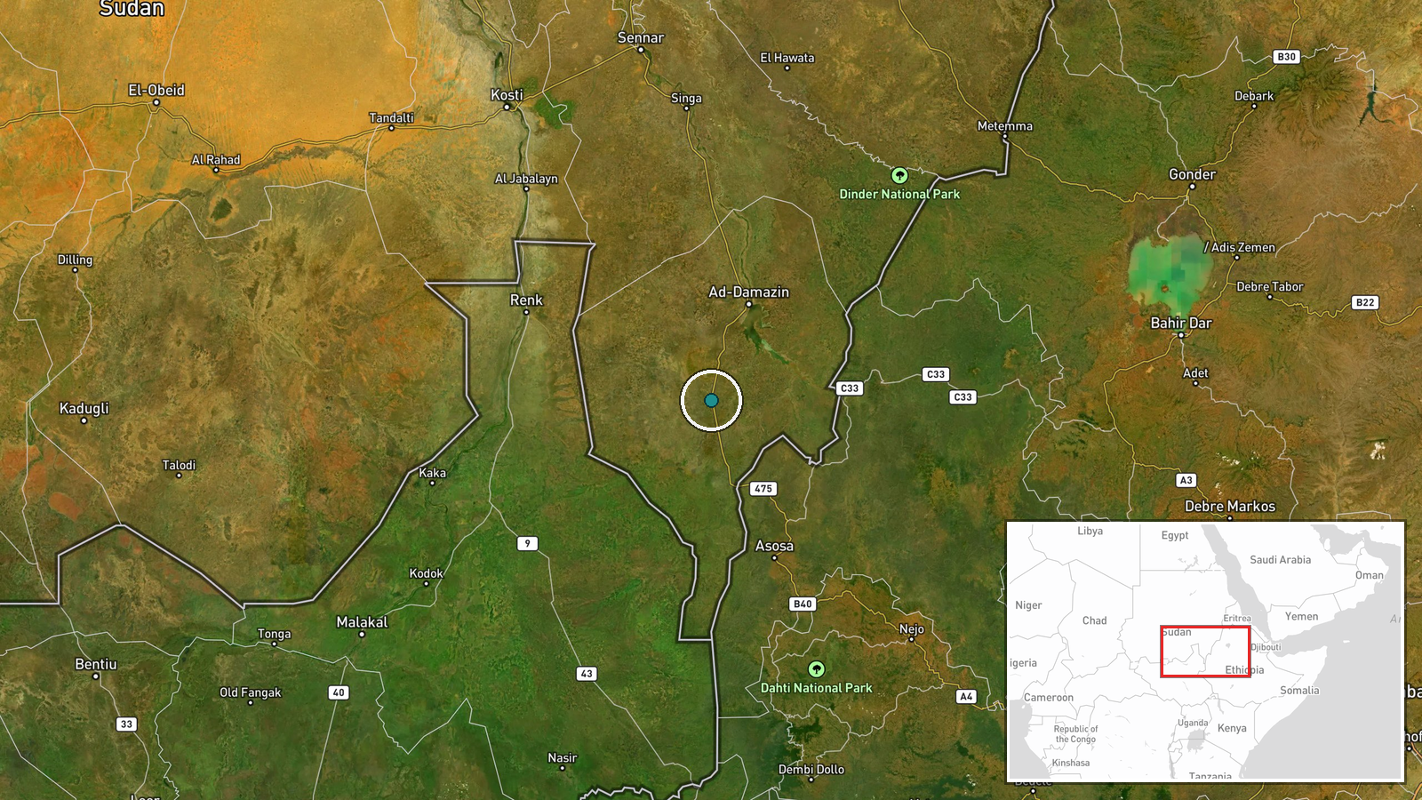
The Telegram channel of the Rapid Support Forces, listed as @RSFSudan, posted on 22 October 2026 at 19:56 UTC a claim that its Tasis Forces had seized tanks and heavy weapons from what it called the "Muslim Brotherhood Army" in Blue Nile State. The post was written in Arabic, with an English translation reading "Tasis Forces seize tanks and heavy weaponry from the Muslim Brotherhood Army in the Blue Nile Region." The wording uses the RSF's standard label for the Sudanese Armed Forces (SAF). The post does not name a settlement, a date of fighting, the number or type of vehicles, or any independent witness. It is a single-channel claim and has not been confirmed by other sources at the time of writing. Map placement is at regional level only.
Context and assessment
Blue Nile State, in southeastern Sudan, borders Ethiopia and has been one of several areas where the war between the RSF and SAF has shifted from the Khartoum and Darfur fronts toward border regions. Related events from the same afternoon suggest a contested sequence. At 18:49 UTC, the Sudanese army reportedly regained control of Bakuri and Akleili, reportedly inflicting heavy losses on the RSF and pursuing them. Around fifty minutes later, at 18:50 UTC, Sudanese air defense reportedly shot down an unidentified drone near Bakuri that had crossed from Ethiopia, with its operator unknown. Taken together, these reports describe fighting in the same area within a short window. If the RSF did capture heavy equipment, one common explanation is that vehicles were abandoned during a withdrawal, which would fit the reported loss of Bakuri. The drone report points to cross-border supply or surveillance concerns, but nothing in the data links it to either side. Each of these claims comes from a party to the conflict or from unattributed reporting, so the sequence should be read as a set of competing assertions rather than established facts.
Sources and confidence
The claim comes from one channel, the RSF-linked Telegram account @RSFSudan, which is a partisan source and the only one listed. No cross-confirmation appears in the data, including from the SAF, wire services, or geolocated imagery. The confidence score of 3.4 is low, reflecting the single source, the absence of images or coordinates, and the unverified status of the claim. Confidence would rise with dated, geolocated images of the captured equipment, an acknowledgment of losses from SAF, or reporting from established agencies or independent monitors. It would fall if SAF denies the claim, if the imagery shows older or unrelated vehicles, or if the post is later found to recycle earlier material.
Location
The event is placed at a regional centroid of Blue Nile State, at approximately 11.15 north and 34.10 east, rather than at a specific settlement. The location is marked as region-level precision, so the exact site of any seizure is unknown. The settlements named in related reports, Bakuri and Akleili, are not pinned here. The state lies along the Ethiopian border in southeastern Sudan, and its terrain includes savanna and river basins of the Blue Nile system, which can affect movement and visibility in the rainy season.
Related events nearby
- Sudanese air defense shot down an unidentified drone near Bakuri that crossed the border from Ethiopia; operat2026-10-22 18:50 UTC · Air Defense · Bakuri, Blue Nile State, Sudan
- Sudanese army reportedly regained control of Bakuri and Akleili in southeastern Blue Nile state, inflicting he2026-10-22 18:49 UTC · Capture · Bakuri, Blue Nile State, Sudan
▶ View this event on the live map

Intel Mapper aggregates open-source reports from monitored Telegram and X channels, geolocates them, cross-checks duplicates across sources and assigns a confidence score. Entries are updated as new confirmations arrive. Read how we verify events.