Russian Geran-3 drone tracked toward Bila Tserkva in coordinated Kyiv Oblast attack
What happened
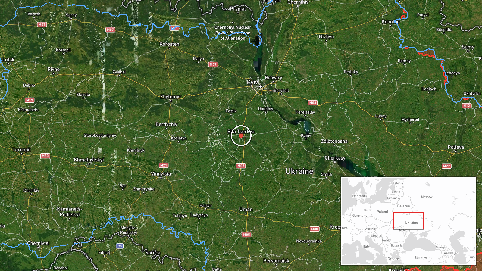
Ukrainian air monitoring reported one Russian jet-powered Shahed (Geran-3) drone heading toward Bila Tserkva on October 13 at 13:39 UTC. The detection was posted by the Kyiv regional military administration (@kpszsu) on Telegram. Bila Tserkva, located southwest of Kyiv, is a major city in Kyiv Oblast with significant civilian and infrastructure presence. The report indicates transit rather than confirmed strike.
Context and assessment
This drone detection occurs as part of a broader Russian air assault on Kyiv Oblast detected within minutes on October 13. Related reports from the same timeframe show at least four additional Geran-3 drones tracked toward neighboring targets including Vasylkiv, Obukhiv, and broader Kyiv Oblast areas, suggesting a coordinated multi-vector attack. Bila Tserkva has been targeted previously and hosts critical civilian infrastructure. The pattern—multiple drones in rapid succession across the region—is consistent with Russian attempts to overwhelm Ukrainian air defenses. A prior report from October 12 documented Russian destruction of four Ukrainian locomotives, indicating sustained pressure on transport and logistics assets across the oblast.
Sources and confidence
Single source: Kyiv regional military administration Telegram channel (@kpszsu). Confidence score of 8.0 reflects official Ukrainian military monitoring with high location precision but limited independent cross-confirmation in available data. Score would increase with corroboration from other Ukrainian air defense channels or Western intelligence; would decrease if follow-up reports contradicted the tracking data or if the drone was later confirmed destroyed before reaching the city.
Location
Bila Tserkva is a major city in central Kyiv Oblast, approximately 80 kilometers southwest of central Kyiv, located on the Ros River. The settlement-level precision reflects Ukrainian air monitoring coordinates. The city is a regional administrative and economic hub with civilian population and transport infrastructure. Nearby Vasylkiv hosts air assets and was simultaneously tracked with drone activity.
Related events nearby
- Ukrainian air monitoring: 2+ Russian jet-powered Shahed (Geran-3) drones from Kyiv Oblast toward Vasylkiv.2026-10-13 14:03 UTC · Drone Transit · Vasylkiv, Ukraine
- Ukrainian air monitoring: 1 Russian jet-powered Shahed (Geran-3) drone heading toward Vasylkiv.2026-10-13 13:51 UTC · Drone Transit · Vasylkiv, Ukraine
- Ukrainian air monitoring: 1 Russian jet-powered Shahed (Geran-3) drone heading toward Obukhiv.2026-10-13 13:36 UTC · Drone Transit · Obukhiv, Ukraine
- Ukrainian air monitoring: 1 Russian jet-powered Shahed (Geran-3) drone from Kyiv Oblast toward Chabany.2026-10-13 14:04 UTC · Drone Transit · Chabany, Ukraine
- Ukrainian air monitoring: 1 Russian jet-powered Shahed (Geran-3) drone over Kharkivskyi Masyv, Kyiv.2026-10-13 14:20 UTC · Drone Transit · Kharkivskyi Masyv, Kyiv, Ukraine
▶ View this event on the live map

Intel Mapper aggregates open-source reports from monitored Telegram and X channels, geolocates them, cross-checks duplicates across sources and assigns a confidence score. Entries are updated as new confirmations arrive. Read how we verify events.