Russian Shahed drone tracked heading toward Kyiv via Vyshneve
What happened
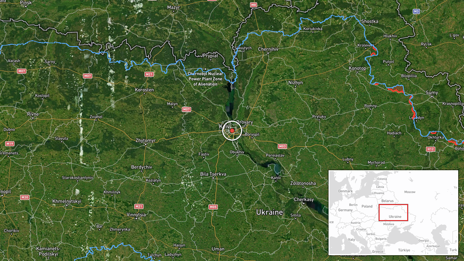
Ukrainian air monitoring reported a single Russian jet-powered Shahed (Geran-3) drone passing over Vyshneve on a course toward Kyiv at 14:05 UTC on 13 October. The observation came from the Kyiv Post Special Services Union Telegram channel. Vyshneve lies southwest of the capital. The report was part of a broader pattern of drone transits detected throughout the morning and early afternoon, with multiple additional Shahed drones tracked in the Kyiv Oblast region during the same period.
Context and assessment
Vyshneve sits in the suburban belt southwest of Kyiv, and drone approaches from this vector suggest a continued air campaign targeting the capital and its surroundings. The Geran-3, a jet-powered variant of the Shahed, is notably faster and harder to intercept than earlier drone types. Related Ukrainian air monitoring reports from the same day show at least four additional drone transits detected between 13:29 and 14:26 UTC, indicating a coordinated or sustained strike package rather than isolated activity. This pattern aligns with Russian air operations aimed at degrading Ukrainian air defenses or striking civilian and military infrastructure in the capital region, though specific intended targets were not indicated in the monitoring data.
Sources and confidence
A single source—the Kyiv Post Special Services Union Telegram channel—reported this observation. No cross-confirmation from independent monitoring agencies or Ukrainian military statements is noted in the provided data. The confidence score of 8.0 reflects the credibility of the source channel in real-time air monitoring but the absence of corroboration. Confirmation of interception, loss, or impact would strengthen confidence; additional radar or visual reports would reduce reliance on a single channel.
Location
Vyshneve is a settlement approximately 30 kilometers southwest of central Kyiv, located in Kyiv Oblast near the broader suburban and industrial zone. The town sits on approaches to the capital from the south and west. Geographic precision is high, pinned to the settlement level at coordinates 50.45°N, 30.52°E.
Related events nearby
- Ukrainian air monitoring: 1 Russian jet-powered Shahed (Geran-3) drone over Kyiv Oblast.2026-10-13 14:57 UTC · Drone Transit · Kyiv Oblast, Ukraine
- Ukrainian air monitoring: 1 Russian jet-powered Shahed (Geran-3) drone heading toward Kyiv.2026-10-13 14:26 UTC · Drone Transit · Kyiv, Ukraine
- Ukrainian air monitoring: 2+ Russian jet-powered Shahed (Geran-3) drones passing Liubech, heading toward Kyiv 2026-10-13 14:16 UTC · Drone Transit · Kyiv Oblast, Ukraine
- Ukrainian air monitoring: 2+ Russian jet-powered Shahed (Geran-3) drones from Cherkasy Oblast toward Kyiv Obla2026-10-13 13:30 UTC · Drone Transit · Kyiv Oblast, Ukraine
- Ukrainian air monitoring: 1 Russian jet-powered Shahed (Geran-3) drone passing Slavutych, heading toward Kyiv 2026-10-13 13:29 UTC · Drone Transit · Kyiv Oblast, Ukraine
▶ View this event on the live map

Intel Mapper aggregates open-source reports from monitored Telegram and X channels, geolocates them, cross-checks duplicates across sources and assigns a confidence score. Entries are updated as new confirmations arrive. Read how we verify events.