Russia launches three Geran-3 drones toward western Ukraine oblasts
What happened
Ukrainian air defence monitoring reported three Russian jet-powered Shahed-type (Geran-3) drones in transit on 13 October at 15:41 UTC, with separate tracks heading toward Khmelnytskyi city, Ternopil Oblast (near Chortkiv), and Rivne Oblast. The report was posted by the Ukrainian Air Force Command via Telegram. No immediate impact assessment was provided in the source material.
Context and assessment
The three-drone salvo targeted Ukraine's northwestern oblasts, an area regularly struck throughout the conflict but distant from active ground combat zones. The timing follows earlier Geran-3 detections the same day spanning Vinnytsia, Khmelnytskyi, and smaller towns including Yarmolyntsi, Dunayivtsi, and Husiatyn—suggesting a coordinated multi-wave attack pattern. Russia has employed these long-range jet-powered drones repeatedly to strike civilian and military infrastructure across western Ukraine, where air defences face persistent strain. The geographic spread indicates either distributed targeting or efforts to saturate air defences across a broad front.
Sources and confidence
Single source: Ukrainian Air Force Command (@kpszsu) on Telegram, posted in real time. No independent cross-confirmation available in provided data. Confidence level 8/10 reflects standard Ukrainian air monitoring reliability but single-source reporting. Confirmation would require visual/interception reports or damage assessments; subsequent air defence engagement data would strengthen confidence.
Location
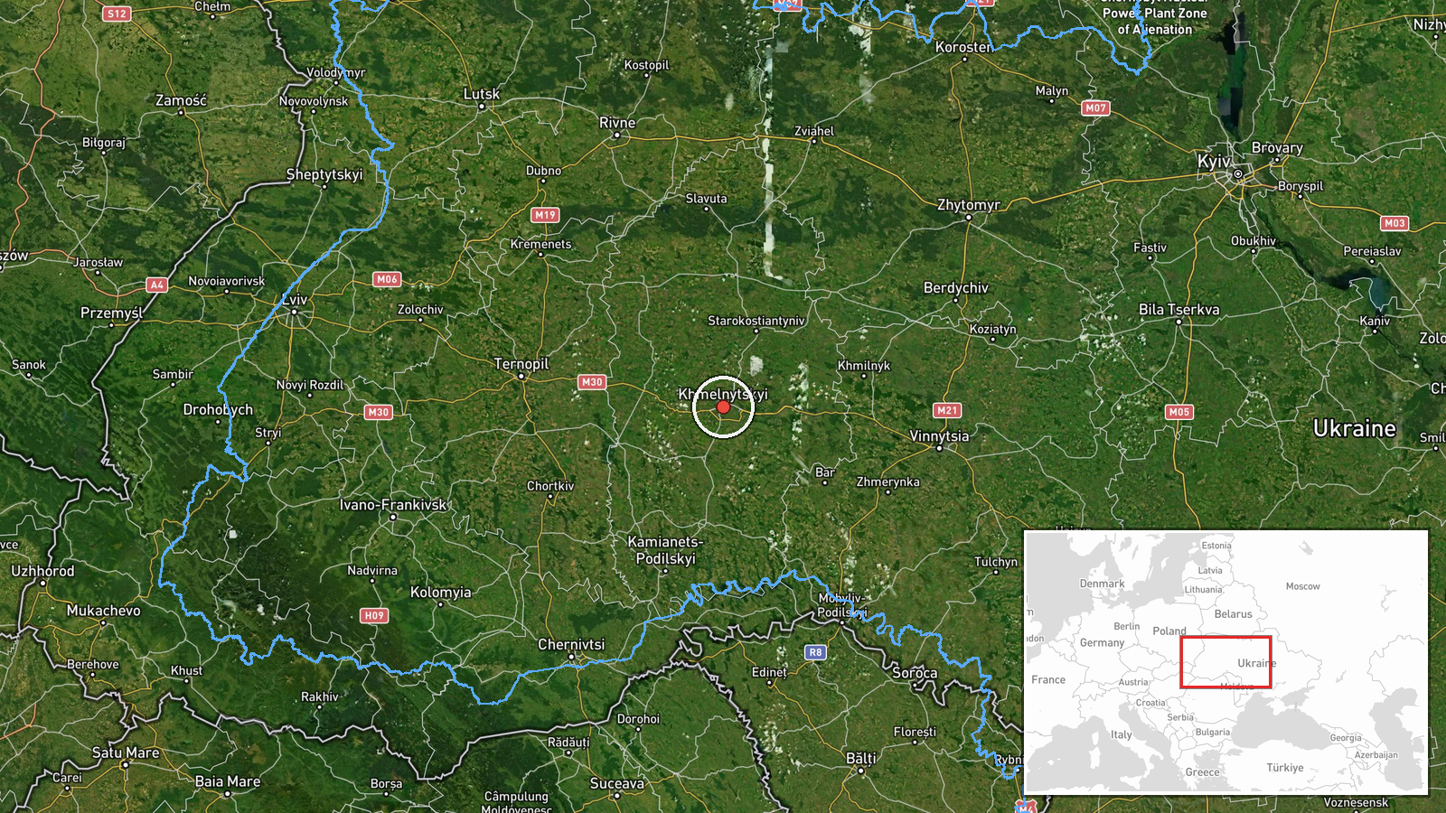
Three separate targets: Khmelnytskyi city (precision: settlement, 49.42°N 26.98°E); Ternopil Oblast with reference to Chortkiv district; Rivne Oblast. All lie in northwestern Ukraine, 200–300 km from Russian territory, in a region containing mixed civilian and military infrastructure.
Related events nearby
- Ukrainian air monitoring: 1 Russian jet-powered Shahed (Geran-3) drone heading toward Khmelnytskyi Oblast.2026-10-13 15:20 UTC · Drone Transit · Khmelnytskyi Oblast, Ukraine
- Ukrainian air monitoring: 1 Russian jet-powered Shahed (Geran-3) drone from Khmelnytskyi Oblast toward Yarmoly2026-10-13 13:30 UTC · Drone Transit · Yarmolyntsi, Ukraine
- Ukrainian air monitoring: 1 Russian jet-powered Shahed (Geran-3) drone heading toward Dunayivtsi.2026-10-13 13:29 UTC · Drone Transit · Dunayivtsi, Ukraine
- Ukrainian air monitoring: 1 Russian jet-powered Shahed (Geran-3) drone heading toward Husiatyn.2026-10-13 13:29 UTC · Drone Transit · Husiatyn, Ukraine
- Ukrainian air monitoring: 1 Russian jet-powered Shahed (Geran-3) drone passing Vinnytsia Oblast, heading north2026-10-13 15:12 UTC · Drone Transit · Vinnytsia Oblast, Ukraine
▶ View this event on the live map

Intel Mapper aggregates open-source reports from monitored Telegram and X channels, geolocates them, cross-checks duplicates across sources and assigns a confidence score. Entries are updated as new confirmations arrive. Read how we verify events.