Russian Geran-3 drone tracked toward Ternopil city center
What happened
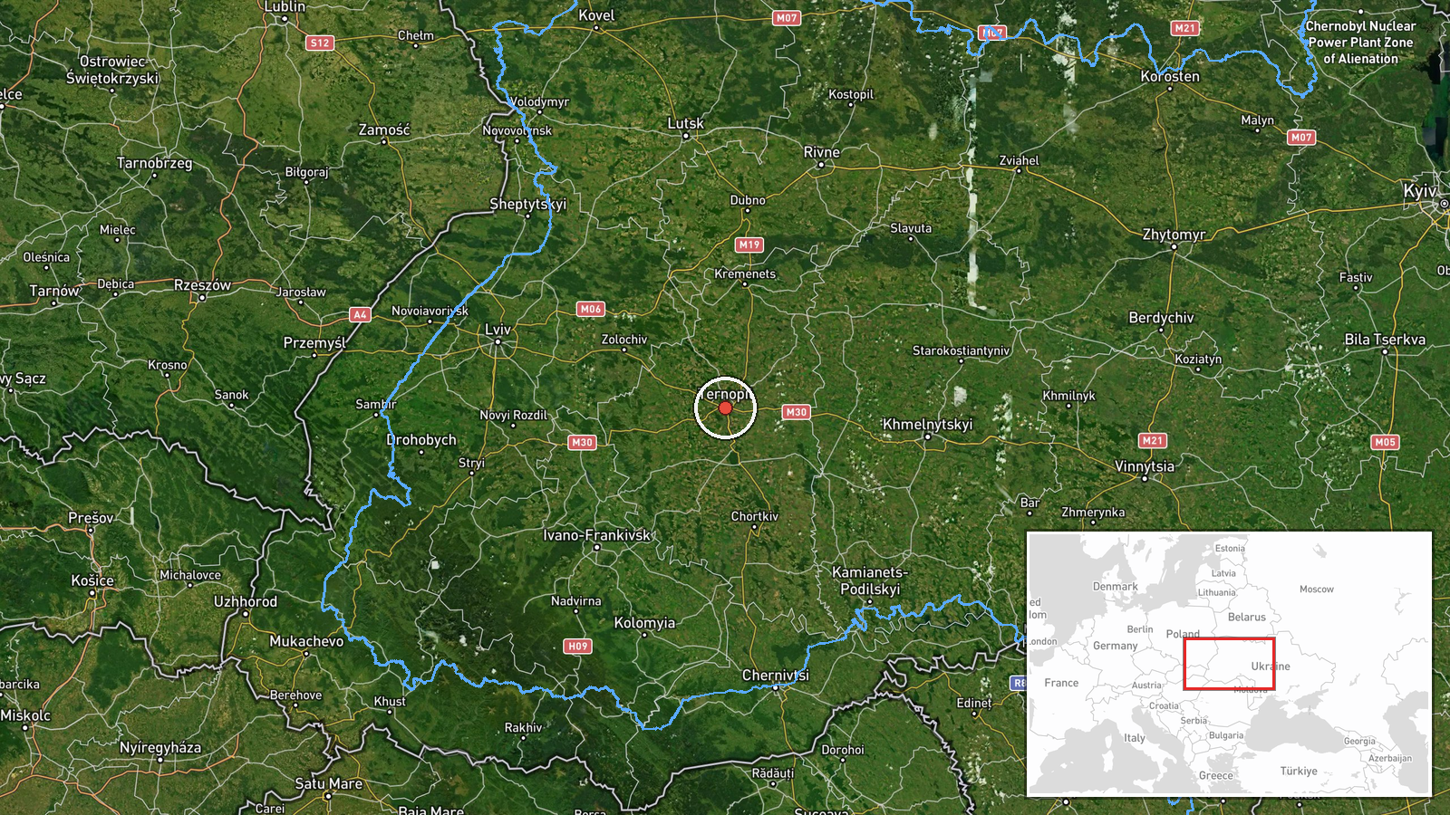
Ukrainian air monitoring reported detection of a single Russian jet-powered Shahed (Geran-3) drone heading toward Ternopil on 13 October at 20:27 UTC. The report was issued by the Kyiv Post Special Operations Forces Update channel via Telegram. This follows an earlier detection of a similar drone transiting Kopychyntsi in the same oblast approximately 20 minutes prior, suggesting possible continued Russian drone operations across western Ukraine.
Context and assessment
Ternopil lies in western Ukraine, roughly 400 kilometers from Russian-held territory. The city has been targeted repeatedly throughout the conflict, serving as a logistical hub and administrative center. The detection occurs amid a pattern of Geran-3 drone transits across Khmelnytskyi, Rivne, and Ternopil oblasts on 13 October, suggesting either a coordinated multi-vector strike operation or sustained reconnaissance activity. These jet-powered Shaheds are typically used for strikes against infrastructure, military facilities, or urban targets. The convergence of drone routes through western oblasts may indicate Russian intent to strike multiple targets across the region or to probe air defenses.
Sources and confidence
Single source: Telegram channel @kpszsu (Kyiv Post Special Operations Forces Update). No cross-confirmation from other monitoring channels provided. Confidence score of 8.0 reflects the established reliability of Ukrainian official air monitoring channels but the lack of independent verification. Confirmation of impact or interception would raise confidence; absence of follow-up reporting on outcomes lowers certainty of the drone's fate.
Location
Ternopil city, Ternopil Oblast, western Ukraine (49.55°N, 25.59°E). Located on the Seret River in the Podolia region, approximately 100 kilometers south of the Polish border. The settlement-level precision reflects urban coordinates; nearby Kopychyntsi detection 20 minutes earlier suggests westward drone transit through the oblast.
Related events nearby
- Ukrainian air monitoring detected 1 Russian jet-powered Shahed (Geran-3) drone transiting Ternopil Oblast near2026-10-13 20:07 UTC · Drone Transit · Kopychyntsi, Ternopil Oblast, Ukraine
- Ukrainian air monitoring: 1 Russian jet-powered Shahed (Geran-3) drone heading toward Husiatyn.2026-10-13 13:29 UTC · Drone Transit · Husiatyn, Ukraine
- Ukrainian air monitoring: 1 Russian jet-powered Shahed (Geran-3) drone heading toward Bibrka.2026-10-13 13:32 UTC · Drone Transit · Bibrka, Ukraine
- Ukrainian air monitoring: 1 Russian jet-powered Shahed (Geran-3) drone from Rivne Oblast toward Dubno.2026-10-13 15:49 UTC · Drone Transit · Dubno, Ukraine
- Ukrainian air monitoring: 1 Russian jet-powered Shahed (Geran-3) drone from Khmelnytskyi Oblast toward Yarmoly2026-10-13 13:30 UTC · Drone Transit · Yarmolyntsi, Ukraine
▶ View this event on the live map

Intel Mapper aggregates open-source reports from monitored Telegram and X channels, geolocates them, cross-checks duplicates across sources and assigns a confidence score. Entries are updated as new confirmations arrive. Read how we verify events.