Russian Geran-3 drone transits Cherkasy Oblast heading west
What happened
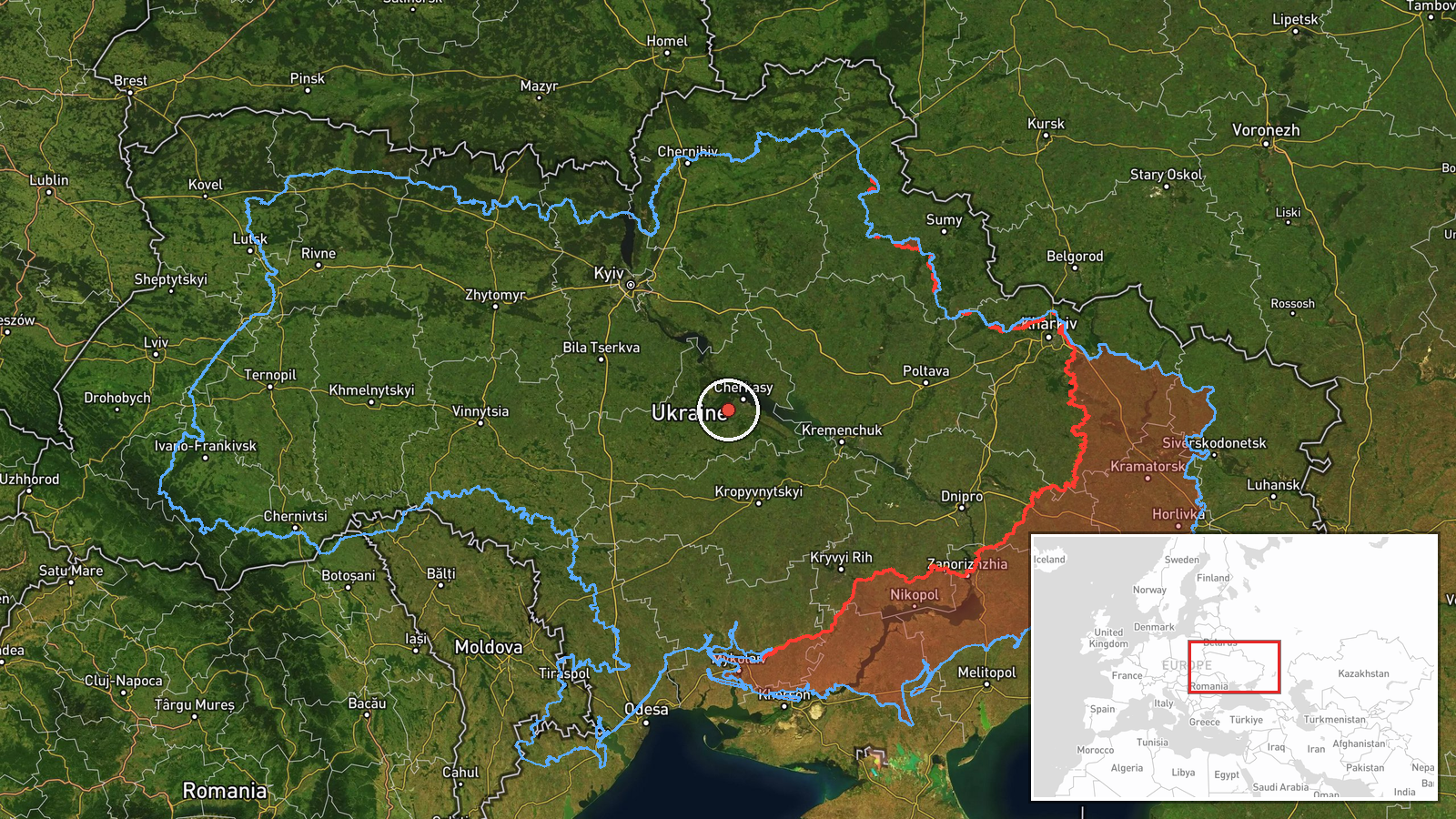
Ukrainian air monitoring reported a single Russian jet-powered Shahed unmanned aerial vehicle, designated Geran-3, in the vicinity of Dyurin in Cherkasy Oblast on October 14 at 03:33 UTC, traveling westward. The report was issued via the official Telegram channel of Ukraine's air command (@kpszsu). No attack or interception was reported in this specific sighting.
Context and assessment
The transit occurred during an active Russian drone and missile campaign across Ukraine spanning October 13–14. Related reports indicate simultaneous Shahed activity over Cherkasy Oblast the previous evening and coordinated ballistic missile threats announced from the north during the same period. Geran-3 drones are jet-powered variants capable of longer range and higher altitude than earlier models. Westward movement from Cherkasy suggests routing toward central Ukrainian populations or infrastructure. The frequency of tracked transits in this region may indicate sustained pressure on air defenses or attempted saturation of Ukrainian monitoring capacity.
Sources and confidence
Single source: Ukrainian air command Telegram channel (@kpszsu). No independent cross-confirmation reported. Confidence score of 8.0 reflects official Ukrainian source credibility but limited corroboration. Confidence would increase with reports from additional Ukrainian monitoring channels or air defense units; would decrease if subsequent Ukrainian statements contradicted the sighting or if no follow-on activity was detected.
Location
Dyurin, a settlement in Cherkasy Oblast in central Ukraine, approximately 120 km south of Kyiv. Precision classed as regional; the exact flight path over or near the settlement is inferred from monitoring data rather than precise coordinate confirmation. The area lies in relatively open terrain between the Dnieper River and agricultural plains.
Related events nearby
- Ukrainian air monitoring: 1 Russian jet-powered Shahed (Geran-3) drone over Cherkasy Oblast.2026-10-13 17:44 UTC · Drone Transit · Cherkasy Oblast, Ukraine
- Ukrainian air monitoring reports repeated ballistic missile launch threat from the north. Massed Russian Shahe2026-10-14 01:47 UTC · Missile Transit · Ukraine (location not reported) (launch reported)
- Ukrainian MiG-29 fighter jet shot down a Russian attack drone using an R-73 air-to-air missile. Cockpit footag2026-10-13 08:40 UTC · Drone Shootdown · Ukraine (location not reported)
- Ukrainian air alert system warns of ballistic missile threat from the north. Multiple Russian Shahed drone tra2026-10-14 01:39 UTC · Siren · Ukraine (Northern Region)
- Ukrainian air defense alerts nationwide: ballistic missile threat warning issued across Ukraine. Air raid sire2026-10-14 03:41 UTC · Siren · Ukraine
▶ View this event on the live map

Intel Mapper aggregates open-source reports from monitored Telegram and X channels, geolocates them, cross-checks duplicates across sources and assigns a confidence score. Entries are updated as new confirmations arrive. Read how we verify events.