Russian jet-powered Shahed drone tracked toward Hadyach in Poltava Oblast
What happened
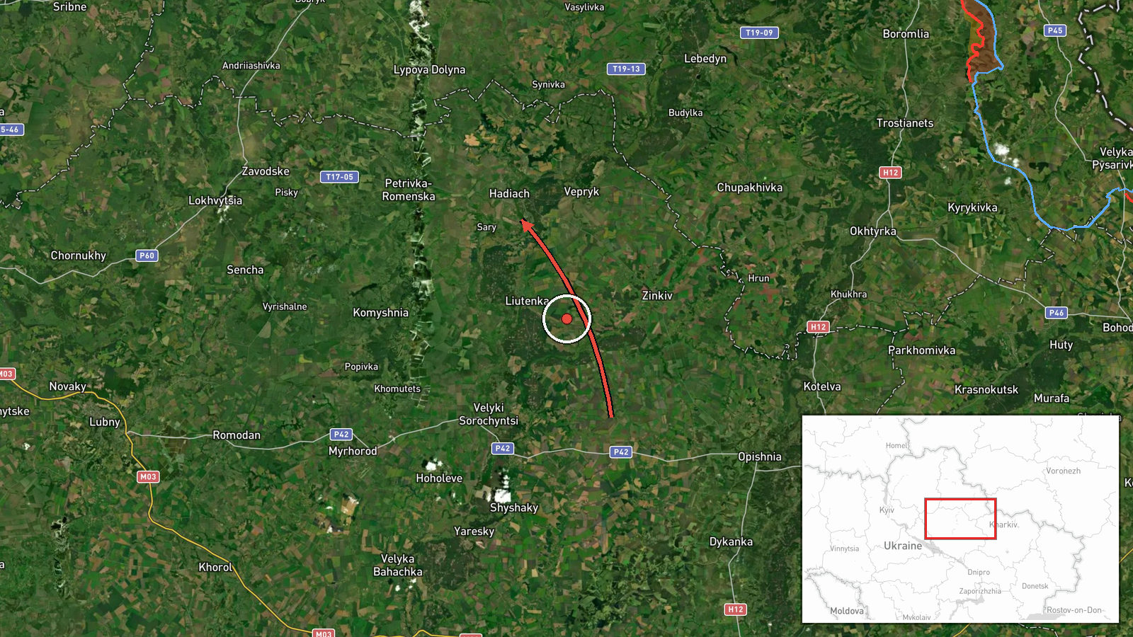
Ukrainian air monitoring systems detected one Russian jet-powered Shahed drone, designated Geran-3, transiting toward Hadyach in Poltava Oblast on the morning of October 15. The detection was reported by the Telegram channel of the Main Directorate of Intelligence of Ukraine (@kpszsu) at 01:54 UTC. The report indicates the drone was en route to the settlement but does not specify whether it struck a target or was intercepted.
Context and assessment
Hadyach lies in central Poltava Oblast, roughly 150 kilometers southeast of Kyiv, and has experienced repeated Russian drone and missile strikes throughout the conflict. The detection of this single jet-powered Shahed follows closely on concurrent observations of similar drones transiting Sumy Oblast toward Okhtyrka and earlier reports of a larger formation of twelve Shahed-type drones heading toward Kolomak in the same region. This pattern suggests a distributed overnight attack wave targeting infrastructure across northern and central Ukraine, possibly timed to maximize saturation of air defenses across multiple vectors.
Sources and confidence
Single source: the official Telegram channel of Ukraine's Main Directorate of Intelligence. No cross-confirmation from independent monitors or other Ukrainian sources is noted in available data. The high location confidence reflects the specificity of settlement-level identification, but the single-source reporting and absence of outcome confirmation moderates overall confidence to 8.0. Independent verification from radar tracking or post-strike imagery would raise confidence; confirmation of intercept or impact would clarify the operational result.
Location
Hadyach is a town of roughly 30,000 in central Poltava Oblast, approximately 150 kilometers south-southeast of Kyiv. The settlement sits in relatively flat terrain typical of the region and serves as a regional administrative and industrial hub. Precision is settlement-level based on Ukrainian air monitoring nomenclature.
Related events nearby
- Ukrainian air monitoring: 1 Russian jet-powered Shahed (Geran-3) drone from Sumy Oblast toward Okhtyrka.2026-10-15 01:53 UTC · Drone Transit · Okhtyrka, Ukraine
- Ukrainian air monitoring: 12 Russian Shahed-type drones passing Bohodukhiv, heading toward Kolomak.2026-10-14 13:02 UTC · Drone Transit · Kolomak, Ukraine
▶ View this event on the live map

Intel Mapper aggregates open-source reports from monitored Telegram and X channels, geolocates them, cross-checks duplicates across sources and assigns a confidence score. Entries are updated as new confirmations arrive. Read how we verify events.