Multiple Russian Shahed drones tracked over Kyiv early October 15
What happened
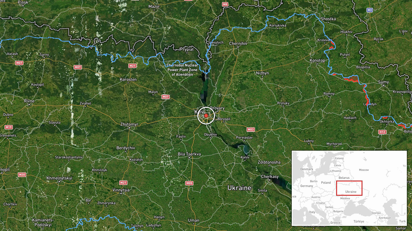
Ukrainian air monitoring reported two or more Russian jet-powered Shahed (Geran-3) drones over Kyiv at 05:42 UTC on October 15. The report was posted to Telegram by the Kyiv Operational Command of Ground Forces (@kpszsu). This followed an earlier detection of at least one Shahed passing the Kyiv Reservoir and heading toward the capital approximately 18 minutes prior.
Context and assessment
The drone transits over Kyiv represent a continuation of Russian airborne operations against Ukraine's capital. Shahed drones, Iranian-origin cruise missiles used extensively by Russian forces, have been regular features of attacks on Ukrainian infrastructure and civilian areas throughout the conflict. The timing coincides with heightened political tension: President Zelensky had declared hours earlier that Ukraine would resume strikes on Russian oil refineries despite international ceasefire announcements, explicitly citing Moscow's ongoing attacks. Multiple drone detections within a short window suggest either a coordinated strike package or continued harassment operations.
Sources and confidence
Single source: Telegram channel @kpszsu (Kyiv Operational Command of Ground Forces). Confidence score of 8.0 reflects institutional reliability of the source and corroboration with a related drone transit report from the same location 18 minutes earlier. Score would increase with independent confirmation from Ukrainian air defense command or NATO monitoring; would lower significantly if follow-up reporting contradicted the detection.
Location
Kyiv city center (50.45°N, 30.52°E), determined at settlement precision level. The capital sits on the Dnieper River in north-central Ukraine. Related detections referenced the Kyiv Reservoir (also called Kyiv Sea), a major water body north of the city frequently used as a navigation reference for incoming drone tracks.
Related events nearby
- President Zelensky declares Ukraine will resume strikes on Russian oil refineries despite Trump's ceasefire an2026-10-15 05:24 UTC · Statement · Kyiv, Ukraine
- Ukrainian air monitoring: 1 Russian jet-powered Shahed (Geran-3) drone passing Kyiv Reservoir, heading toward 2026-10-15 03:38 UTC · Drone Transit · Kyiv, Ukraine
- President Zelensky expresses disappointment that President Trump has not chosen Ukraine's side, criticizing th2026-10-14 19:49 UTC · Statement · Kyiv, Ukraine
- President Zelensky reiterates that only the Ukrainian people can elect Ukraine's president, rejecting any fore2026-10-14 18:56 UTC · Statement · Kyiv, Ukraine
- Ukrainian President Zelensky, in an interview with Piers Morgan, reaffirms Ukraine's determination to maintain2026-10-14 18:50 UTC · Statement · Kyiv, Ukraine
▶ View this event on the live map

Intel Mapper aggregates open-source reports from monitored Telegram and X channels, geolocates them, cross-checks duplicates across sources and assigns a confidence score. Entries are updated as new confirmations arrive. Read how we verify events.