Russian Geran-3 drone tracked toward Bortnychi in Kyiv
What happened
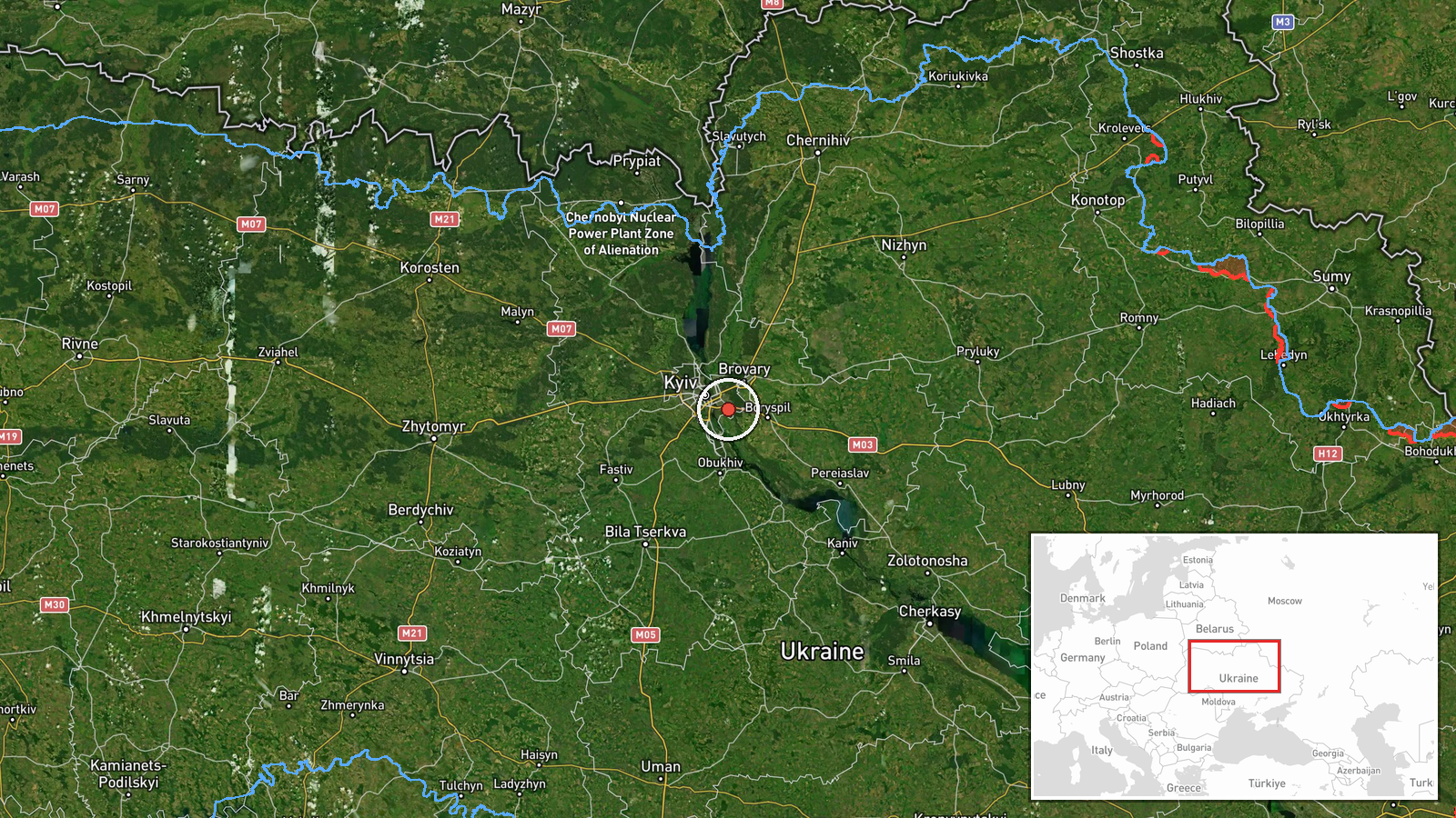
Ukrainian air defense monitoring reported a single Russian jet-powered Shahed (Geran-3) drone in transit toward Bortnychi, a northeastern district of Kyiv, on the afternoon of 15 October 2026 at 17:48 UTC. The alert was issued by the Kyiv City Air Defense Command (@kpszsu). Bortnychi is an industrial and residential area on the eastern bank of the Dnipro River. The report does not specify whether air defenses engaged the drone or confirm its impact.
Context and assessment
Bortnychi hosts significant industrial infrastructure, including water treatment facilities and petrochemical plants, which have been recurring Russian targets throughout the conflict. This sighting represents part of a sustained attack pattern on 15 October, when Ukrainian monitoring detected at least five Geran-3 drones transiting toward different Kyiv districts within a two-hour window—including Pozniaky, Darnytsia, Vydubychi, Pechersk, and Lisovyi Masyv. The clustering of drone detections across multiple districts suggests a coordinated strike or probing operation. Such multi-vector approaches typically aim either to overwhelm air defenses through saturation or to damage dispersed civilian infrastructure.
Sources and confidence
Single source: Telegram channel @kpszsu (Kyiv City Air Defense Command). No cross-confirmation from independent monitors or international agencies is noted. Confidence score of 8.0 reflects the official Ukrainian air defense source and high location precision, but the lack of secondary confirmation and absence of reported outcome limits certainty. Confirmation of interception, impact, or drone disposition would raise confidence; evidence of source error or contradictory reports would lower it.
Location
Bortnychi is a northeastern settlement and industrial district of Kyiv, located on the eastern (left) bank of the Dnipro River at approximately 50.39°N, 30.68°E. The district contains water treatment infrastructure and petrochemical facilities. Precision is set to settlement level, indicating Ukrainian monitoring identified the target area rather than a specific facility.
Related events nearby
- Ukrainian air monitoring: 1 Russian jet-powered Shahed (Geran-3) drone heading toward Pozniaky, Kyiv.2026-10-15 06:56 UTC · Drone Transit · Pozniaky, Kyiv, Ukraine
- Ukrainian air monitoring: 1 Russian jet-powered Shahed (Geran-3) drone heading toward Darnytsia, Kyiv.2026-10-15 06:57 UTC · Drone Transit · Darnytsia, Kyiv, Ukraine
- Ukrainian air monitoring: 1 Russian jet-powered Shahed (Geran-3) drone heading toward Vydubychi, Kyiv.2026-10-15 06:59 UTC · Drone Transit · Vydubychi, Kyiv, Ukraine
- Ukrainian air monitoring: 1 Russian jet-powered Shahed (Geran-3) drone heading toward Lisovyi Masyv.2026-10-15 16:53 UTC · Drone Transit · Lisovyi Masyv, Ukraine
- Ukrainian air monitoring: 1 Russian jet-powered Shahed (Geran-3) drone heading toward Pechersk, Kyiv.2026-10-15 16:44 UTC · Drone Transit · Pechersk, Kyiv, Ukraine
▶ View this event on the live map

Intel Mapper aggregates open-source reports from monitored Telegram and X channels, geolocates them, cross-checks duplicates across sources and assigns a confidence score. Entries are updated as new confirmations arrive. Read how we verify events.