Single Telegram report places a jet-powered Shahed drone over Rivne Oblast on 16 October 2026
What happened
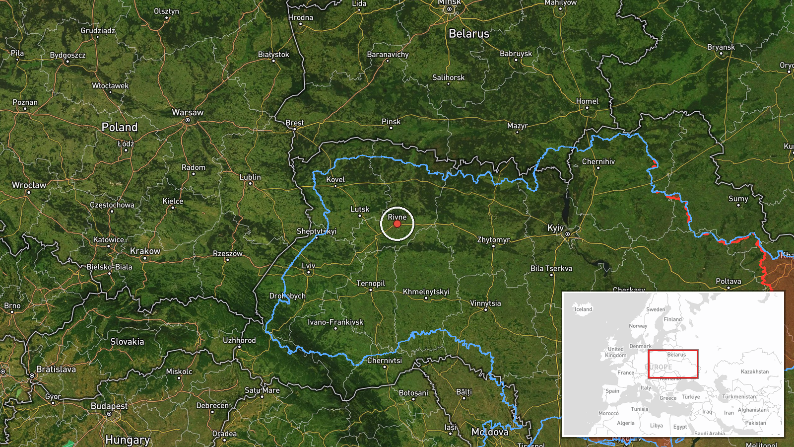
Ukrainian air monitoring reported on the Telegram channel @kpszsu that one Russian jet-powered Shahed, identified in the post as a Geran-3, was flying over Rivne Oblast in northwestern Ukraine. The original Ukrainian-language wording places the drone south of Rokytne and says it was heading west. The event is timestamped 16 October 2026 at 01:42 UTC. The report attributes the drone to Russia and classifies the activity as drone transit, meaning the aircraft was observed crossing the area. The source text describes no impact, casualties, or damage. As logged, the report has not been independently repeated by a second outlet.
Context and assessment
Rivne Oblast sits in the Polissia lowlands of northwestern Ukraine, and its position between the capital region and the western oblasts makes it a frequent route for long-range drones moving across the country. The related events in the feed show a sustained pattern rather than a single sighting. Earlier on 15 October, a drone was reported over Rivne at 17:19 and another was reported moving from Khmelnytskyi Oblast toward Rivne at 09:48. In the early hours of 16 October, the feed logged a drone from Zhytomyr Oblast heading toward Rivne at 01:05, a drone heading toward Rivne at 01:04 with two or more others passing a location rendered as Vinny, and a further report of two or more drones heading toward Rivne at 01:47. Taken together, these entries suggest drones entering from the east and south-east and continuing across the region over roughly sixteen hours. The Geran-3 is a jet-powered variant of the Shahed design, generally faster than the propeller-driven models. Operationally, repeated transit reports of this kind may indicate a flight corridor or a routing choice rather than a fixed target, though the source material alone cannot confirm the intent behind the flights.
Sources and confidence
The event rests on one Telegram channel, @kpszsu, which posts Ukrainian air monitoring alerts in the style of official warning feeds. The related entries come from the same type of channel and do not provide independent confirmation of this specific sighting. The score of 8.0 reflects the channel's role in air alerts and the internal consistency of the surrounding reports. It would rise with a second Ukrainian official source or wire reporting, or with a confirmed sighting or debris find. It would fall if the channel corrected the post or if other monitoring sources contradicted the route.
Location
The coordinates are regional rather than pinpointed, and the original text gives only a general position south of Rokytne. The location is therefore approximate, at the oblast level, which is why location confidence is recorded as low. Rivne Oblast lies in northwestern Ukraine, with flat, forested and marshy Polissia terrain to the north and rivers and farmland across much of the area. Belarus borders the oblast to the north. Rokytne is a settlement in the southern part of the oblast.
Related events nearby
- Ukrainian air monitoring: 2+ Russian jet-powered Shahed (Geran-3) drones heading toward Rivne Oblast.2026-10-16 01:47 UTC · Drone Transit · Rivne Oblast, Ukraine
- Ukrainian air monitoring: 1 Russian jet-powered Shahed (Geran-3) drone from Zhytomyr Oblast toward Rivne Oblas2026-10-16 01:05 UTC · Drone Transit · Rivne Oblast, Ukraine
- Ukrainian air monitoring: 1 Russian jet-powered Shahed (Geran-3) drone heading toward Rivne Oblast; 2+ Russian2026-10-16 01:04 UTC · Drone Transit · Rivne Oblast, Ukraine
- Ukrainian air monitoring: 1 Russian jet-powered Shahed (Geran-3) drone over Rivne Oblast.2026-10-15 17:19 UTC · Drone Transit · Rivne Oblast, Ukraine
- Ukrainian air monitoring: 1 Russian jet-powered Shahed (Geran-3) drone from Khmelnytskyi Oblast toward Rivne O2026-10-15 09:48 UTC · Drone Transit · Rivne Oblast, Ukraine
▶ View this event on the live map

Intel Mapper aggregates open-source reports from monitored Telegram and X channels, geolocates them, cross-checks duplicates across sources and assigns a confidence score. Entries are updated as new confirmations arrive. Read how we verify events.