Ukrainian air monitoring reports one jet-powered Shahed (Geran-3) drone heading toward Vyshneve
What happened
Ukrainian air monitoring, relayed through the Telegram channel @kpszsu, reported one Russian jet-powered Shahed (Geran-3) drone heading toward Vyshneve, a settlement in Kyiv Oblast. The report is logged for 16 October 2026 at 02:20 UTC. The original Ukrainian-language post is brief, describing a jet-type unmanned aerial vehicle (БпЛА) bound for Vyshneve, and it does not mention impacts, casualties, or air-defence engagement. The item is recorded as a transit report, meaning it concerns a drone in flight toward the settlement rather than a confirmed strike. Attribution to Russia rests on the monitoring post's identification of the Geran-3 type.
Context and assessment
Vyshneve sits on the western edge of the Kyiv metropolitan area, so repeated drone reports naming it usually reflect a flight path crossing the capital's approaches rather than a sole target. The event log shows a cluster of similar transit reports on the previous day. Between 13:58 and 13:59 UTC on 15 October, single jet-powered Shahed drones were reported heading toward Zhuliany in Kyiv. At 14:16 a drone was reported moving from Kyiv Oblast toward Vyshneve, and at 16:33 and 17:35 further single drones were logged toward Borshchahivka and Zhuliany. This pattern of one-drone reports spread across several districts suggests either multiple separate launches or a dispersed group moving through the same airspace. Operationally, the Geran-3 is a jet-powered variant of the Shahed family, typically used in mixed raids alongside other drone types. A single-drone transit report at this hour does not on its own indicate intent, and the overnight timing is consistent with the broader pattern of drones approaching Kyiv in the dark.
Sources and confidence
The report comes from a single channel, Telegram @kpszsu, which is tied to Ukrainian air-monitoring reporting. No second outlet in the event data independently confirms this specific drone. The related events come from the same type of single-source transit reporting, so they support the pattern but do not cross-confirm this item. The confidence score of 8.0 reflects a credible official-style channel with a specific, identifiable drone type and a precise settlement name, offset by the lack of independent confirmation and the absence of any follow-up on impact or interception. Confidence would rise with a second monitoring source, a regional military administration statement, or an air-defence engagement report. It would fall if the track were revised, retracted, or shown to refer to another location.
Location
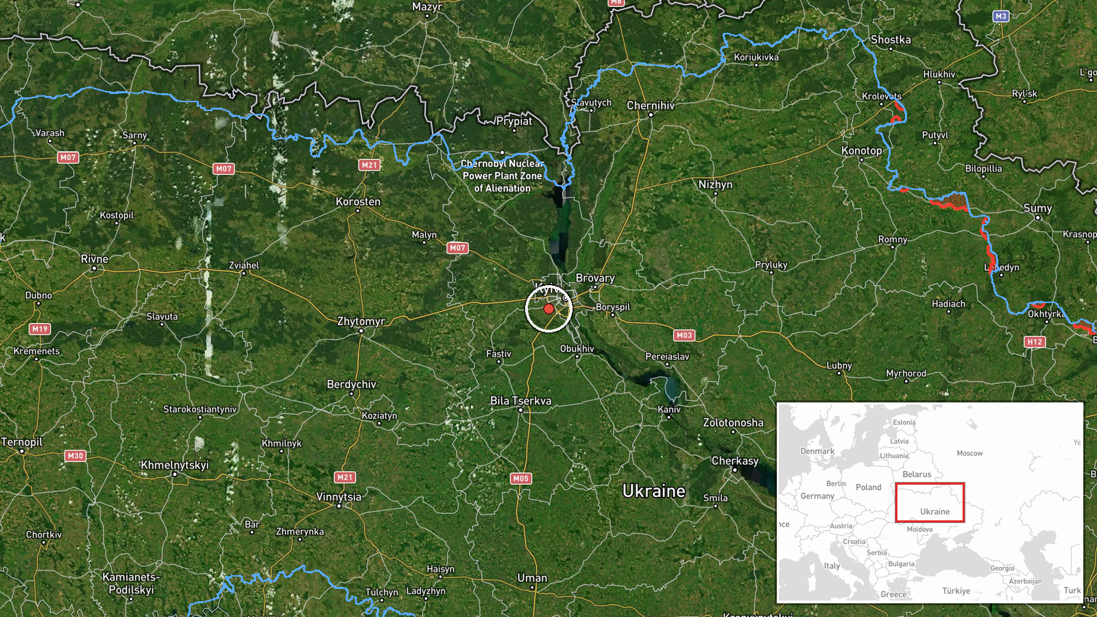
The location is recorded at settlement precision for Vyshneve, Ukraine, at approximately 50.388 N, 30.368 E. The coordinates are marked as high location confidence, but the drone's position is only as precise as the settlement named in the report, not a specific facility. Vyshneve lies in Kyiv Oblast, close to the western fringe of the Kyiv urban area, on a largely suburban and semi-rural landscape. Nearby Kyiv districts, including Borshchahivka and Zhuliany, are the other points named in the same overnight reports.
Related events nearby
- Ukrainian air monitoring: 1 Russian jet-powered Shahed (Geran-3) drone from Kyiv Oblast toward Vyshneve.2026-10-15 14:16 UTC · Drone Transit · Vyshneve, Ukraine
- Ukrainian air monitoring: 1 Russian jet-powered Shahed (Geran-3) drone heading toward Vyshneve.2026-10-15 13:58 UTC · Drone Transit · Vyshneve, Ukraine
- Ukrainian air monitoring: 1 Russian jet-powered Shahed (Geran-3) drone heading toward Borshchahivka, Kyiv.2026-10-15 16:33 UTC · Drone Transit · Borshchahivka, Kyiv, Ukraine
- Ukrainian air monitoring: 1 Russian jet-powered Shahed (Geran-3) drone heading toward Zhuliany, Kyiv.2026-10-15 17:35 UTC · Drone Transit · Zhuliany, Kyiv, Ukraine
- Ukrainian air monitoring: 1 Russian jet-powered Shahed (Geran-3) drone heading toward Zhuliany, Kyiv.2026-10-15 13:59 UTC · Drone Transit · Zhuliany, Kyiv, Ukraine
▶ View this event on the live map

Intel Mapper aggregates open-source reports from monitored Telegram and X channels, geolocates them, cross-checks duplicates across sources and assigns a confidence score. Entries are updated as new confirmations arrive. Read how we verify events.