Russian Geran-3 drone tracked toward Kyiv's Borshchahivka district
What happened
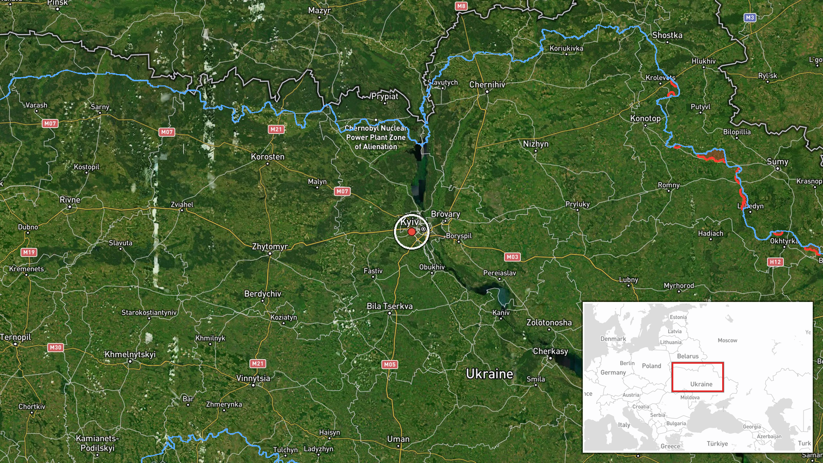
Ukrainian air monitoring detected one Russian jet-powered Shahed (Geran-3) drone heading toward Borshchahivka, a northwestern district of Kyiv, on 15 October at 16:33 UTC. The alert was reported by the official Kyiv city air defense channel (@kpszsu). The Geran-3 is a Russian cruise drone variant used in strikes on civilian and military infrastructure. No immediate strike confirmation was provided in the available reporting.
Context and assessment
Borshchahivka lies in northwestern Kyiv and includes residential areas, transport infrastructure, and some industrial sites. The detection occurred during a sustained wave of Russian drone activity across the capital: at least five separate Geran-3 transits were tracked within a 90-minute window across Kyiv districts and outlying areas including Vyshneve, Solomianka, Zhuliany, and Shuliavka. This pattern suggests either a coordinated multi-target strike attempt or separate probing missions. Such concentrated drone activity often precedes or accompanies wider air strikes on Ukrainian infrastructure. The frequency and geographic spread may indicate Russian efforts to saturate air defenses or target dispersed objectives.
Sources and confidence
Report originated from Telegram channel @kpszsu, Kyiv's official air defense and emergency alert account. Single source limits independent cross-confirmation; confidence score of 8.0 reflects the official nature and real-time operational context of the source but acknowledges lack of secondary verification. Score would increase with reports from other official channels or air defense confirmation; would lower if no follow-up strike reports emerged.
Location
Borshchahivka is located in northwestern Kyiv at approximately 50.43°N, 30.38°E. The district borders Kyiv's outer residential ring and lies near transport corridors. Geographic precision is settlement-level. The area includes mixed residential and light industrial zones, making it a plausible target for Russian strike operations seeking civilian-military dual-use infrastructure.
Related events nearby
- Ukrainian air monitoring: 1 Russian jet-powered Shahed (Geran-3) drone heading toward Sviatoshyn, Kyiv.2026-10-15 17:57 UTC · Drone Transit · Sviatoshyn, Kyiv, Ukraine
- Ukrainian air monitoring: 1 Russian jet-powered Shahed (Geran-3) drone from Kyiv Oblast toward Vyshneve.2026-10-15 14:16 UTC · Drone Transit · Vyshneve, Ukraine
- Ukrainian air monitoring: 1 Russian jet-powered Shahed (Geran-3) drone heading toward Vyshneve.2026-10-15 13:58 UTC · Drone Transit · Vyshneve, Ukraine
- Ukrainian air monitoring: 1 Russian jet-powered Shahed (Geran-3) drone heading toward Solomianka, Kyiv.2026-10-15 16:44 UTC · Drone Transit · Solomianka, Kyiv, Ukraine
- Ukrainian air monitoring: 1 Russian jet-powered Shahed (Geran-3) drone heading toward Zhuliany, Kyiv.2026-10-15 17:35 UTC · Drone Transit · Zhuliany, Kyiv, Ukraine
▶ View this event on the live map

Intel Mapper aggregates open-source reports from monitored Telegram and X channels, geolocates them, cross-checks duplicates across sources and assigns a confidence score. Entries are updated as new confirmations arrive. Read how we verify events.