Russian Geran-3 drone tracked toward Sviatoshyn in Kyiv on October 15
What happened
Ukrainian air defense monitoring detected one Russian jet-powered Shahed (Geran-3) drone reportedly heading toward Sviatoshyn, a district in northwestern Kyiv, at approximately 17:57 UTC on October 15, 2026. The alert was posted by the Kyiv city military administration (@kpszsu). Sviatoshyn is a residential and industrial area on Kyiv's western outskirts. The report indicates the drone was in transit toward the location rather than striking it at the moment of detection.
Context and assessment
Sviatoshyn is an urban district containing both civilian residential neighborhoods and industrial facilities. The detection occurred within a broader pattern of Russian drone activity across Kyiv on the same date—at least five separate Geran-3 transits were tracked across northwestern and western districts (Borshchahivka, Syrets, Shuliavka, Solomianka, and Kurenivka) between 16:33 and 17:57 UTC. This cluster suggests either a coordinated multi-target strike operation or sequential waves directed at the capital. Geran-3 drones are jet-powered loitering munitions with sufficient range and payload for area targets. The pattern may indicate Russian intent to strain Ukrainian air defenses or target infrastructure in Kyiv's western sectors.
Sources and confidence
Single source: Kyiv city military administration Telegram channel (@kpszsu), which monitors air threats in real time. No cross-confirmation from other channels is noted in the dataset. Confidence score of 8.0 reflects the source's official status and direct access to air defense tracking, though lack of independent verification and absence of impact confirmation typical of transit reports limits higher certainty.
Location
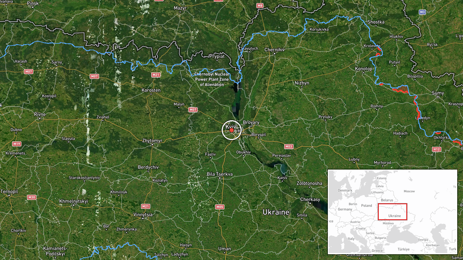
Sviatoshyn is determined at settlement-level precision (50.46°N, 30.37°E) in northwestern Kyiv, Ukraine. The district sits on the capital's western periphery, west of the Dnieper River. It is a mixed residential-industrial area with Soviet-era housing blocks and manufacturing plants. Nearby features include Borshchahivka to the east and the Irpin River valley to the west.
Related events nearby
- Ukrainian air monitoring: 1 Russian jet-powered Shahed (Geran-3) drone heading toward Borshchahivka, Kyiv.2026-10-15 16:33 UTC · Drone Transit · Borshchahivka, Kyiv, Ukraine
- Ukrainian air monitoring: 1 Russian jet-powered Shahed (Geran-3) drone heading toward Syrets, Kyiv.2026-10-15 17:53 UTC · Drone Transit · Syrets, Kyiv, Ukraine
- Ukrainian air monitoring: 1 Russian jet-powered Shahed (Geran-3) drone heading toward Shuliavka, Kyiv.2026-10-15 16:33 UTC · Drone Transit · Shuliavka, Kyiv, Ukraine
- Ukrainian air monitoring: 1 Russian jet-powered Shahed (Geran-3) drone heading toward Solomianka, Kyiv.2026-10-15 16:44 UTC · Drone Transit · Solomianka, Kyiv, Ukraine
- Ukrainian air monitoring: 1 Russian jet-powered Shahed (Geran-3) drone heading toward Kurenivka, Kyiv.2026-10-15 16:50 UTC · Drone Transit · Kurenivka, Kyiv, Ukraine
▶ View this event on the live map

Intel Mapper aggregates open-source reports from monitored Telegram and X channels, geolocates them, cross-checks duplicates across sources and assigns a confidence score. Entries are updated as new confirmations arrive. Read how we verify events.