Russian Shahed drone tracked toward Kyiv's Shuliavka district
What happened
Ukrainian air monitoring services reported tracking a Russian jet-powered Shahed (Geran-3) drone heading toward Shuliavka, a residential district in northwestern Kyiv, on 15 October at 16:33 UTC. The alert was issued via the Kyiv City Air Defense Command's Telegram channel. The Geran-3 variant represents an upgraded loitering munition with extended range and endurance compared to earlier Shahed models. No strike outcome was reported in this initial tracking notice.
Context and assessment
Shuliavka sits in Kyiv's northwest sector and contains mixed residential and commercial areas. The same morning witnessed multiple Shahed drones tracked across Kyiv's districts—Solomianka, Kurenivka, and Podil received alerts within minutes, suggesting a coordinated multi-axis attack. Broader tracking data shows at least one drone originated from Cherkasy Oblast to the south, consistent with Russia's established pattern of launching long-range strikes from rear areas. These incidents reflect Russia's persistent use of standoff weapons to target Ukrainian civilian and strategic infrastructure in the capital, a tactic employed throughout the conflict to degrade morale and logistics networks.
Sources and confidence
Single source: Kyiv City Air Defense Command (@kpszsu) on Telegram, reporting real-time air monitoring. Confidence of 8.0 reflects reliable institutional source and corroboration by simultaneous related events across multiple city districts within the same timeframe. Confidence would increase with strike confirmation or visual/damage reporting; it would lower if subsequent all-clear signals contradict the tracking.
Location
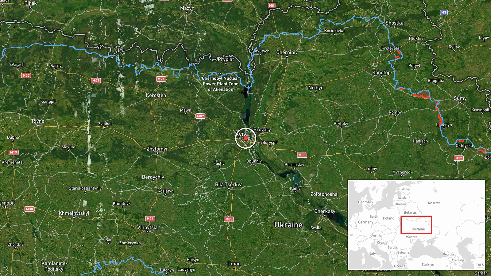
Shuliavka is a settlement-level administrative district in Kyiv's Pecherskyi and Shevchenkivskyi raions (northwestern sectors), centered approximately at 50.455°N, 30.455°E. The area lies north of central Kyiv, near the Dnieper River's western bank and bounded by residential neighborhoods and urban infrastructure typical of inner-city Kyiv.
Related events nearby
- Ukrainian air monitoring: 1 Russian jet-powered Shahed (Geran-3) drone heading toward Solomianka, Kyiv.2026-10-15 16:44 UTC · Drone Transit · Solomianka, Kyiv, Ukraine
- Ukrainian air monitoring: 1 Russian jet-powered Shahed (Geran-3) drone heading toward Syrets, Kyiv.2026-10-15 17:53 UTC · Drone Transit · Syrets, Kyiv, Ukraine
- Ukrainian air monitoring: 1 Russian jet-powered Shahed (Geran-3) drone heading toward Kurenivka, Kyiv.2026-10-15 16:50 UTC · Drone Transit · Kurenivka, Kyiv, Ukraine
- Ukrainian air monitoring: 1 Russian jet-powered Shahed (Geran-3) drone heading toward Podil, Kyiv.2026-10-15 16:51 UTC · Drone Transit · Podil, Kyiv, Ukraine
- Ukrainian air monitoring: 2+ Russian jet-powered Shahed (Geran-3) drones from Cherkasy Oblast toward Kyiv Obla2026-10-15 17:32 UTC · Drone Transit · Kyiv Oblast, Ukraine
▶ View this event on the live map

Intel Mapper aggregates open-source reports from monitored Telegram and X channels, geolocates them, cross-checks duplicates across sources and assigns a confidence score. Entries are updated as new confirmations arrive. Read how we verify events.