Russian jet-powered Shahed drone tracked toward Podil district, Kyiv
What happened
Ukrainian air monitoring reported one Russian jet-powered Shahed (Geran-3) drone heading toward Podil, a central district of Kyiv, on October 15 at 16:51 UTC. The report, issued by the Kyiv City State Administration's air alert service (@kpszsu), represents the latest in a series of drone transits detected over the capital throughout the day. The drone's exact trajectory and any defensive response remain unclear from available reporting.
Context and assessment
Podil is a historic residential and commercial district on Kyiv's left bank, home to civilian infrastructure and population centers. The reported drone transit follows at least four other Shahed detections over Kyiv and surrounding oblast earlier the same day, beginning from mid-morning and intensifying through afternoon. These repeated incursions suggest a sustained Russian air campaign targeting or probing Kyiv's airspace. Geran-3 drones are jet-powered variants with extended range and speed compared to earlier Shahed models, capable of reaching deep into Ukrainian territory. The pattern indicates either concentrated strikes or a reconnaissance operation designed to test air defenses or overwhelm them through volume.
Sources and confidence
Ukrainian official air monitoring channel (@kpszsu) reported the event; confidence is moderately high but rests on a single source with no independent cross-confirmation in available data. The channel's institutional role and direct monitoring mandate support reliability. Confidence would strengthen with reports from additional independent observers or Ukrainian air defense units; it would lower if follow-up reporting contradicts the drone's location or denies penetration into the reported area.
Location
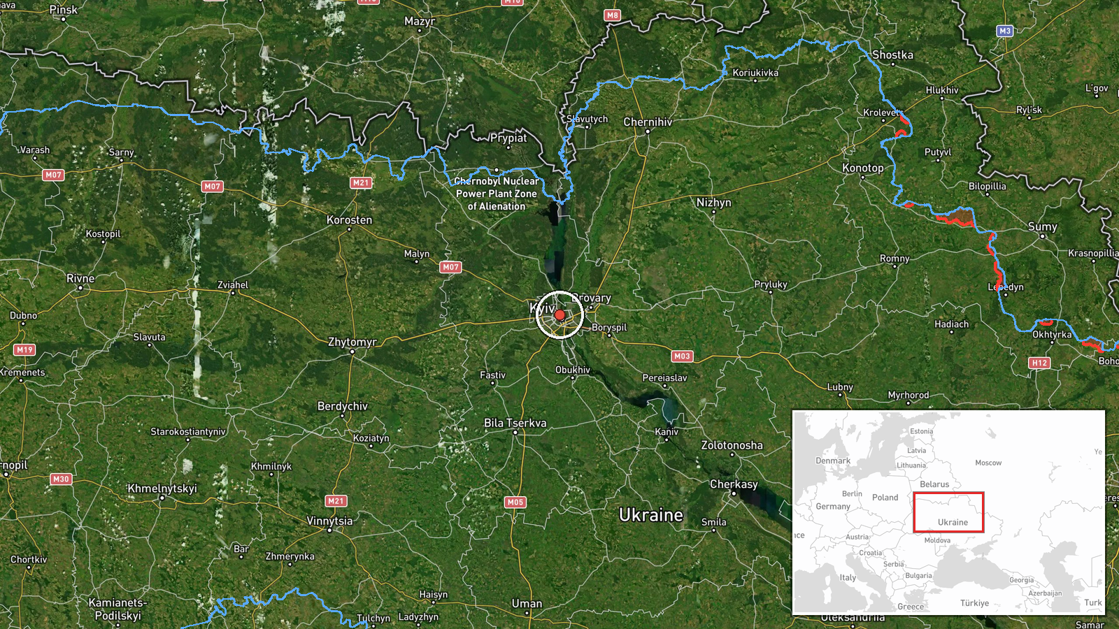
Podil district, located in central-left-bank Kyiv at approximately 50.47°N, 30.51°E. The district borders the Dnieper River to the east and lies adjacent to Kyiv's older historic core. Precision is set at settlement level, reflecting the district designation rather than a specific facility or strike location.
Related events nearby
- Ukrainian air monitoring: 1 Russian jet-powered Shahed (Geran-3) drone heading toward Pochaina, Kyiv.2026-10-15 17:53 UTC · Drone Transit · Pochaina, Kyiv, Ukraine
- Ukrainian air monitoring: 2+ Russian jet-powered Shahed (Geran-3) drones from Cherkasy Oblast toward Kyiv Obla2026-10-15 17:32 UTC · Drone Transit · Kyiv Oblast, Ukraine
- Ukrainian air monitoring: 2+ Russian jet-powered Shahed (Geran-3) drones over Kyiv.2026-10-15 16:38 UTC · Drone Transit · Kyiv, Ukraine
- Ukrainian air monitoring: 1 Russian jet-powered Shahed (Geran-3) drone from Cherkasy Oblast toward Kyiv Oblast2026-10-15 16:24 UTC · Drone Transit · Kyiv Oblast, Ukraine
- Ukrainian air monitoring: 1 Russian jet-powered Shahed (Geran-3) drone from Cherkasy Oblast toward Kyiv Oblast2026-10-15 14:01 UTC · Drone Transit · Kyiv Oblast, Ukraine
▶ View this event on the live map

Intel Mapper aggregates open-source reports from monitored Telegram and X channels, geolocates them, cross-checks duplicates across sources and assigns a confidence score. Entries are updated as new confirmations arrive. Read how we verify events.