Russian Geran-3 drone tracked toward Pochaina district in Kyiv
What happened
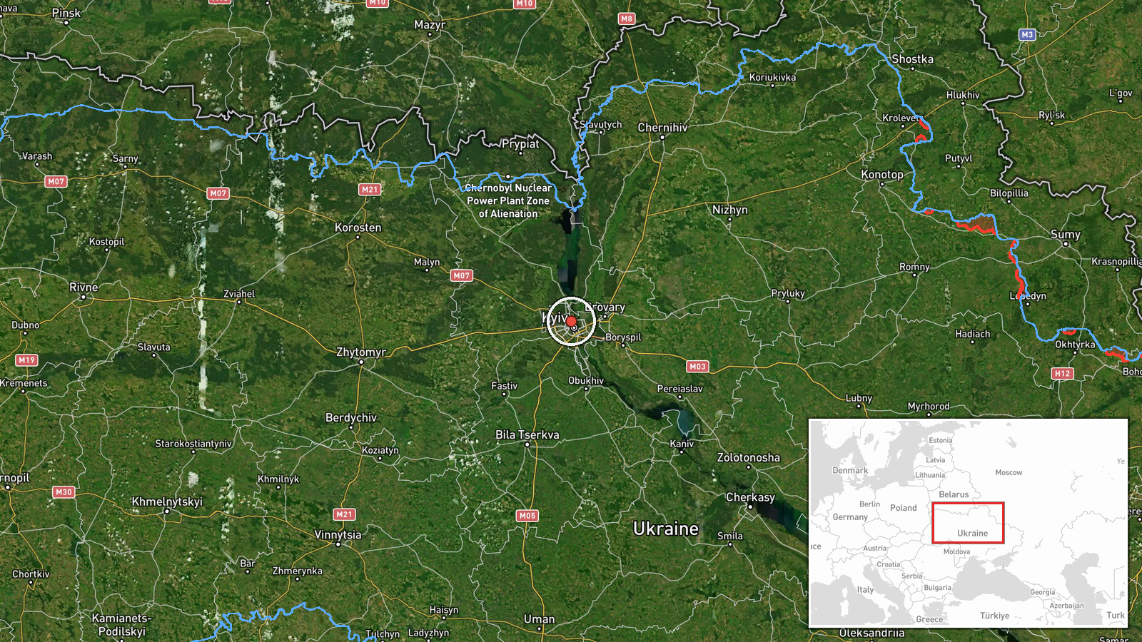
Ukrainian air monitoring systems reported a single Russian jet-powered Shahed (Geran-3) drone heading toward Pochaina, a district in Kyiv, on October 15 at 17:53 UTC. The report was issued by the Kyiv City Defense administration via Telegram (@kpszsu). Pochaina lies in central Kyiv near the Dnieper River. The alert represents a tracking observation rather than confirmed impact or interception outcome.
Context and assessment
This drone transit alert is part of a sustained Russian aerial campaign against Kyiv documented throughout October 15. Ukrainian monitors tracked multiple Geran-3 drones operating over the capital and approaching various districts—Kurenivka, Podil, and Obolon—between 16:38 and 17:53 UTC, with additional activity from Cherkasy Oblast toward Kyiv Oblast. The Geran-3, a turbojet-powered variant of the Shahed-136, poses particular risk due to its range and speed. Repeated targeting of multiple Kyiv districts suggests either distributed targeting or probing air defenses. Pochaina's location along major transport corridors may factor in target selection.
Sources and confidence
Single source: Kyiv City Defense (@kpszsu) Telegram channel. Related events from the same official channel on the same date provide cross-confirmation of broader drone activity over Kyiv. Confidence score of 8.0 reflects official Ukrainian monitoring authority and corroboration by parallel reports of other drones in the same operation, though this specific drone's ultimate outcome remains unreported.
Location
Pochaina is a densely populated historic district in central Kyiv, situated east of the Dnieper River. It comprises residential and commercial areas with Soviet-era and older European architecture. The district lies approximately 4 kilometers northeast of Kyiv's city center and adjacent to major transport infrastructure including railway lines and highways serving northern Ukraine.
Related events nearby
- Ukrainian air monitoring: 1 Russian jet-powered Shahed (Geran-3) drone heading toward Kurenivka, Kyiv.2026-10-15 16:50 UTC · Drone Transit · Kurenivka, Kyiv, Ukraine
- Ukrainian air monitoring: 1 Russian jet-powered Shahed (Geran-3) drone heading toward Podil, Kyiv.2026-10-15 16:51 UTC · Drone Transit · Podil, Kyiv, Ukraine
- Ukrainian air monitoring: 1 Russian jet-powered Shahed (Geran-3) drone heading toward Obolon, Kyiv.2026-10-15 17:25 UTC · Drone Transit · Obolon, Kyiv, Ukraine
- Ukrainian air monitoring: 2+ Russian jet-powered Shahed (Geran-3) drones heading toward Kyiv.2026-10-15 18:10 UTC · Drone Transit · Kyiv, Ukraine
- Ukrainian air monitoring: 2+ Russian jet-powered Shahed (Geran-3) drones from Cherkasy Oblast toward Kyiv Obla2026-10-15 17:32 UTC · Drone Transit · Kyiv Oblast, Ukraine
▶ View this event on the live map

Intel Mapper aggregates open-source reports from monitored Telegram and X channels, geolocates them, cross-checks duplicates across sources and assigns a confidence score. Entries are updated as new confirmations arrive. Read how we verify events.