Russian Shahed drone tracked toward Obolon district in Kyiv
What happened
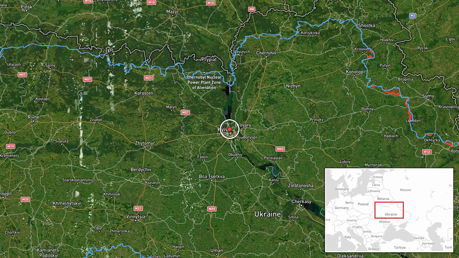
Ukrainian air monitoring services reported one Russian jet-powered Shahed (Geran-3) drone en route to Obolon, a northern district of Kyiv, on 15 October at 17:25 UTC. The alert was posted by the official Kyiv City State Administration channel on Telegram. Obolon lies on the right bank of the Dnieper River and encompasses residential and mixed-use areas in the capital's northeast sector.
Context and assessment
This sighting occurred as part of an apparent multi-wave Russian drone operation targeting Kyiv. Ukrainian monitoring had tracked at least two additional Shahed incursions toward other central districts (Kurenivka and Podil) minutes earlier, and detected two or more drones over the city at 16:38 UTC. Earlier that day, separate reports indicated at least two drone sorties from Cherkasy Oblast toward Kyiv Oblast. Shahed-136/Geran-3 drones are cruise missiles designed to strike civilian and military infrastructure; their concentration on the capital may reflect Russian intent to sustain pressure on administrative and logistical targets or to degrade air defences. The frequency and timing suggest coordinated rather than opportunistic strikes.
Sources and confidence
Report originated from @kpszsu, the official Telegram channel of Kyiv's City State Administration. Single-source confirmation limits confidence to 8.0, though the source is an official Ukrainian monitoring body with direct air-raid alert authority. Cross-confirmation with related sightings in adjacent districts within the same timeframe provides some corroboration. Confidence would rise with independent verification from other air monitoring channels or damage reports.
Location
Obolon is a densely populated administrative district in northern Kyiv, situated on the right bank of the Dnieper River. It is bounded roughly by the river to the south and west, and by Irpin city to the north. The area contains Soviet-era residential blocks, shopping districts, and transport infrastructure. Geo-precision is set to settlement level based on district-level reporting; exact impact point was not specified.
Related events nearby
- Ukrainian air monitoring: 1 Russian jet-powered Shahed (Geran-3) drone heading toward Pochaina, Kyiv.2026-10-15 17:53 UTC · Drone Transit · Pochaina, Kyiv, Ukraine
- Ukrainian air monitoring: 1 Russian jet-powered Shahed (Geran-3) drone heading toward Kurenivka, Kyiv.2026-10-15 16:50 UTC · Drone Transit · Kurenivka, Kyiv, Ukraine
- Ukrainian air monitoring: 1 Russian jet-powered Shahed (Geran-3) drone heading toward Podil, Kyiv.2026-10-15 16:51 UTC · Drone Transit · Podil, Kyiv, Ukraine
- Ukrainian air monitoring: 1 Russian jet-powered Shahed (Geran-3) drone heading toward Syrets, Kyiv.2026-10-15 17:53 UTC · Drone Transit · Syrets, Kyiv, Ukraine
- Ukrainian air monitoring: 2+ Russian jet-powered Shahed (Geran-3) drones from Cherkasy Oblast toward Kyiv Obla2026-10-15 17:32 UTC · Drone Transit · Kyiv Oblast, Ukraine
▶ View this event on the live map

Intel Mapper aggregates open-source reports from monitored Telegram and X channels, geolocates them, cross-checks duplicates across sources and assigns a confidence score. Entries are updated as new confirmations arrive. Read how we verify events.