Russian Shahed drone tracked toward Kyiv's Kurenivka district
What happened
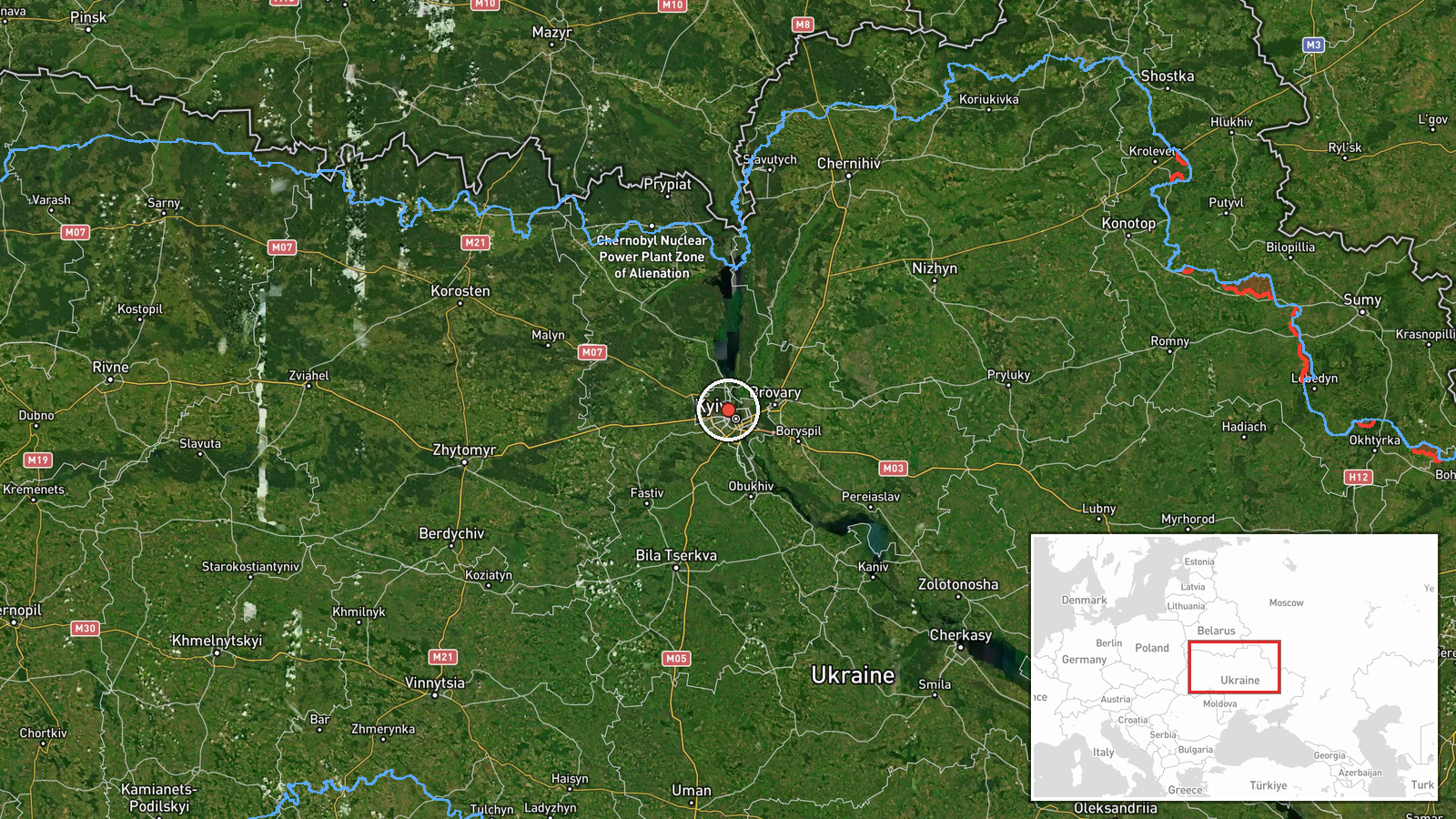
Ukrainian air monitoring reported a single Russian jet-powered Shahed (Geran-3) drone in transit toward Kurenivka, a residential district in northwestern Kyiv, on the evening of October 15. The report came via Telegram from @kpszsu, Ukraine's air force command channel, at 16:50 UTC. Kurenivka lies approximately 8 kilometers northwest of central Kyiv. The drone transit was one of several tracked across the capital within a 27-minute window.
Context and assessment
Kurenivka is a densely populated residential district with no major military installations, consistent with Russian targeting patterns against civilian areas. This drone transit occurred as part of a coordinated multi-vector attack: related reports tracked at least two Shahed drones over central Kyiv at 16:38 UTC, and separate drones routed toward the nearby districts of Podil (16:51) and Shuliavka (16:33). Earlier that day, two additional Shahed transits from Cherkasy Oblast toward Kyiv Oblast suggested sustained Russian strike operations. The concentration of reports within roughly half an hour indicates either a saturation attack or staggered penetration attempts designed to overwhelm air defenses.
Sources and confidence
Single source: @kpszsu Telegram channel (Ukrainian Air Force Command official feed). Cross-confirmation exists via related events on the same date targeting nearby Kyiv districts, which reinforces the pattern but does not independently verify this specific transit. Confidence score of 8.0 reflects the authoritative source and high location precision, though lack of secondary confirmation prevents maximum confidence. Independent visual or intercept confirmation would strengthen the assessment.
Location
Kurenivka is a large northern residential district of Kyiv, located at approximately 50.49°N, 30.47°E. It lies in the city's administrative northwestern quadrant, roughly 8–10 kilometers from the city center, bounded by the Dnieper River to the east and the Zhukovsky Bridge corridor to the south. The district contains apartment blocks, schools, and civilian infrastructure with no known military command centers.
Related events nearby
- Ukrainian air monitoring: 1 Russian jet-powered Shahed (Geran-3) drone heading toward Pochaina, Kyiv.2026-10-15 17:53 UTC · Drone Transit · Pochaina, Kyiv, Ukraine
- Ukrainian air monitoring: 1 Russian jet-powered Shahed (Geran-3) drone heading toward Obolon, Kyiv.2026-10-15 17:25 UTC · Drone Transit · Obolon, Kyiv, Ukraine
- Ukrainian air monitoring: 1 Russian jet-powered Shahed (Geran-3) drone heading toward Syrets, Kyiv.2026-10-15 17:53 UTC · Drone Transit · Syrets, Kyiv, Ukraine
- Ukrainian air monitoring: 1 Russian jet-powered Shahed (Geran-3) drone heading toward Podil, Kyiv.2026-10-15 16:51 UTC · Drone Transit · Podil, Kyiv, Ukraine
- Ukrainian air monitoring: 1 Russian jet-powered Shahed (Geran-3) drone heading toward Shuliavka, Kyiv.2026-10-15 16:33 UTC · Drone Transit · Shuliavka, Kyiv, Ukraine
▶ View this event on the live map

Intel Mapper aggregates open-source reports from monitored Telegram and X channels, geolocates them, cross-checks duplicates across sources and assigns a confidence score. Entries are updated as new confirmations arrive. Read how we verify events.