Russian Geran-3 drone reported transiting toward Solomianka district, Kyiv
What happened
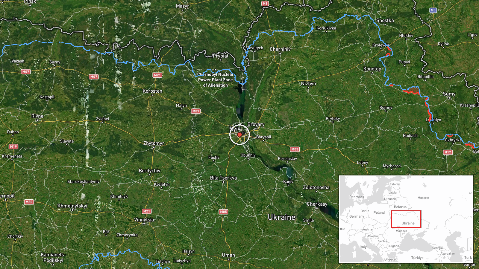
Ukrainian air monitoring reported a single Russian jet-powered Shahed (Geran-3) drone heading toward Solomianka, a residential district in southwestern Kyiv, on 15 October at 16:44 UTC. The report was issued by the Kyiv City Air Defence Command on Telegram. Geran-3 drones are cruise missile-type unmanned aircraft with turbine engines, reportedly capable of carrying warheads over extended ranges. The alert did not specify the drone's ultimate target or outcome.
Context and assessment
Solomianka lies in Kyiv's southwestern urban area and has been struck repeatedly during Russia's campaign of strikes against the capital. The sighting fits a broader pattern of Russian drone operations on 15 October: related reports indicate multiple Geran-3 drones were tracked simultaneously across Kyiv and Kyiv Oblast that afternoon, with separate transits reported over Shuliavka, Zhuliany, Borshchahivka, and toward Kyiv from Cherkasy Oblast between 13:59 and 16:38 UTC. This coordinated multi-drone activity suggests a coordinated strike package, a tactic Russia has employed to overwhelm air defences and maximize strike impact on civilian and military targets in the capital.
Sources and confidence
Reported solely by Kyiv City Air Defence Command (@kpszsu) on Telegram. The confidence score of 8.0 reflects the source's official status and consistent track record but is tempered by single-channel reporting. Confirmation by independent sources, visual evidence of interception or impact, or multiple Ukrainian military channels would increase confidence. Lower-quality or contradictory follow-up reports would decrease it.
Location
Solomianka is a populated residential district in southwestern Kyiv, situated at approximately 50.43°N, 30.45°E. The district lies roughly 8–10 km southwest of central Kyiv and contains residential, commercial, and light industrial areas. Precision is assessed as high based on Ukrainian air defence reporting of the settlement-level geographic target.
Related events nearby
- Ukrainian air monitoring: 1 Russian jet-powered Shahed (Geran-3) drone heading toward Shuliavka, Kyiv.2026-10-15 16:33 UTC · Drone Transit · Shuliavka, Kyiv, Ukraine
- Ukrainian air monitoring: 1 Russian jet-powered Shahed (Geran-3) drone heading toward Zhuliany, Kyiv.2026-10-15 17:35 UTC · Drone Transit · Zhuliany, Kyiv, Ukraine
- Ukrainian air monitoring: 1 Russian jet-powered Shahed (Geran-3) drone heading toward Zhuliany, Kyiv.2026-10-15 13:59 UTC · Drone Transit · Zhuliany, Kyiv, Ukraine
- Ukrainian air monitoring: 1 Russian jet-powered Shahed (Geran-3) drone heading toward Borshchahivka, Kyiv.2026-10-15 16:33 UTC · Drone Transit · Borshchahivka, Kyiv, Ukraine
- Ukrainian air monitoring: 1 Russian jet-powered Shahed (Geran-3) drone heading toward Syrets, Kyiv.2026-10-15 17:53 UTC · Drone Transit · Syrets, Kyiv, Ukraine
▶ View this event on the live map

Intel Mapper aggregates open-source reports from monitored Telegram and X channels, geolocates them, cross-checks duplicates across sources and assigns a confidence score. Entries are updated as new confirmations arrive. Read how we verify events.