Single jet-powered Shahed drone reported north of Berezne in Rivne Oblast, heading west
What happened
Ukraine's air monitoring channel on Telegram (@kpszsu) reported at 04:12 UTC on 16 October 2026 that one jet-powered Shahed drone, described in the post as a Geran-3, was moving north of Berezne in Rivne Oblast on a westward course. The original Ukrainian wording is a short status line describing a jet-powered UAV and its heading. The post gives no information on impact, casualties, damage, or whether the drone was intercepted or left the area. It is the only drone in this report. The event sits within a sequence of earlier alerts from the same oblast between 01:42 and 03:40 UTC, which describe one or more Geran-3 drones over or heading toward Rivne Oblast. The summary is a translation of the original status-style post.
Context and assessment
Rivne Oblast lies in northwestern Ukraine, in the Polissia lowlands, where forests, marshland and river valleys cover much of the terrain and the northern edge borders Belarus. Its towns and transport links make it a plausible transit area for long-range drones moving west from routes further east, though the data does not show what, if anything, these drones were aimed at. The five related alerts show a pattern of repeated reports over about two hours. Early entries describe single drones over the oblast, later ones describe two or more drones heading toward it, and the Berezne report is the most recent in the series. Taken together, this suggests sustained drone activity moving through or around the region rather than a single isolated sighting. A single drone on a westward heading is more consistent with transit than with a direct strike on Rivne itself, but the data cannot confirm intent. Some alerts may also refer to the same drones tracked across successive reports, so the counts should not be added together.
Sources and confidence
The event rests on a single Telegram channel, @kpszsu, which is consistent with Ukrainian air monitoring format. The data does not record independent confirmation from other channels, regional authorities, or media outlets. The related events are listed in the same monitoring style, but their channels are not specified. The confidence score of 8.0 reflects the official-style origin and the consistency of the alert series, while the single-source basis and the lack of independent verification keep it below the highest level. Confidence would rise with corroboration from regional military administration statements, additional monitoring posts, or reports from other outlets. It would fall if the channel corrected the post or if later reporting contradicted the heading or location.
Location
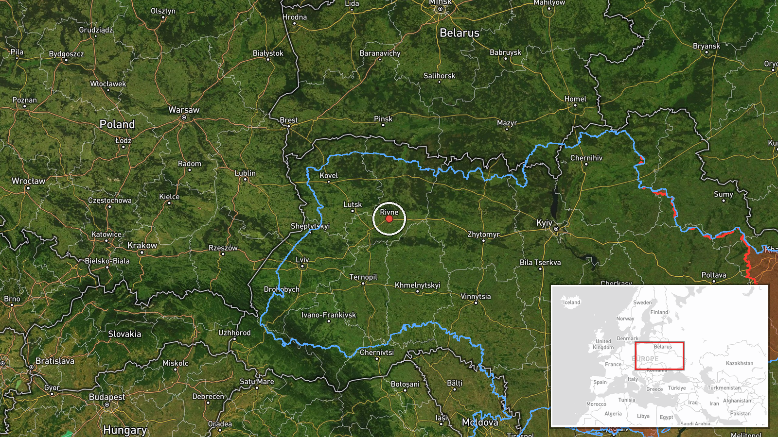
The location was assigned at region level, Rivne Oblast, with low confidence. The report names an area north of Berezne, a town in the northern part of the oblast, but the coordinates, 50.62 N and 26.25 E, are a regional placement and not a settlement-level fix. They should not be read as a precise track point. Rivne Oblast is largely flat lowland with forests, wetlands and rivers, and its northern edge borders Belarus.
Related events nearby
- Ukrainian air monitoring: 1 Russian jet-powered Shahed (Geran-3) drone heading toward Rivne.2026-10-16 03:40 UTC · Drone Transit · Rivne, Ukraine
- Ukrainian air monitoring: 2+ Russian jet-powered Shahed (Geran-3) drones heading toward Rivne Oblast.2026-10-16 03:28 UTC · Drone Transit · Rivne Oblast, Ukraine
- Ukrainian air monitoring: 1 Russian jet-powered Shahed (Geran-3) drone heading toward Rivne.2026-10-16 03:11 UTC · Drone Transit · Rivne, Ukraine
- Ukrainian air monitoring: 2+ Russian jet-powered Shahed (Geran-3) drones heading toward Rivne Oblast.2026-10-16 01:47 UTC · Drone Transit · Rivne Oblast, Ukraine
- Ukrainian air monitoring: 1 Russian jet-powered Shahed (Geran-3) drone over Rivne Oblast.2026-10-16 01:42 UTC · Drone Transit · Rivne Oblast, Ukraine
▶ View this event on the live map

Intel Mapper aggregates open-source reports from monitored Telegram and X channels, geolocates them, cross-checks duplicates across sources and assigns a confidence score. Entries are updated as new confirmations arrive. Read how we verify events.