Ukrainian air monitoring reports one jet-powered Shahed (Geran-3) drone heading toward Lviv
What happened
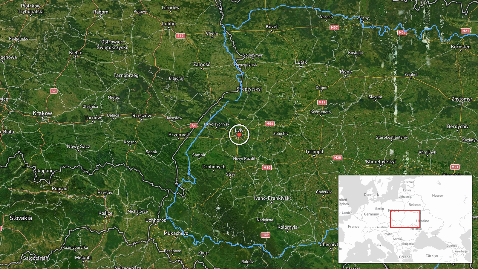
Ukrainian air monitoring reported on Telegram at 06:56 UTC on 16 October 2026 that one Russian jet-powered Shahed, designated Geran-3, was on a course toward Lviv from the north. The original Ukrainian-language post describes it as a jet-type unmanned aerial vehicle heading to Lviv from the north. That wording identifies the approach direction and destination but says nothing about impact, damage, or casualties. The report is a transit warning, not a confirmed strike, and the post does not state whether the drone was intercepted or reached the city. The attribution to Russia rests on the drone type named in the monitoring summary. The coordinates correspond to the city of Lviv at settlement precision.
Context and assessment
Lviv is a major regional center in western Ukraine, close to the Polish border, with rail, industrial, and administrative sites, so a drone heading toward it draws attention beyond its immediate track. The related events show a sequence of single Geran-3 drones logged in the same period, most of them in Lviv Oblast. One came from Rivne Oblast toward Radekhiv on 15 October at 16:58 UTC. On 16 October, further single-drone transits were logged at 06:09 toward Kamyanka-Buzka, 06:34 toward Busk, 06:46 toward Dubliany, and 06:47 toward Lopatyn, each from Lviv Oblast. Each entry is a separate single-drone transit, and the repeated naming of settlements across the oblast suggests several drones moving through the region on different routes rather than one isolated flight. Operationally, this may indicate sustained tracking of drone flight paths toward western Ukraine, possibly part of a longer campaign, though the data alone cannot establish intent or a specific target. Jet-powered Geran-3 variants are generally faster than the piston-engine Shahed type, which would shorten warning times for ground observers.
Sources and confidence
The event rests on a single Telegram channel, @kpszsu, reportedly the air monitoring account associated with Ukraine's Air Force. No second outlet in the data confirms the report, so cross-confirmation is absent. The confidence score of 8.0 reflects a credible, time-stamped official-style source, offset by the single-source basis and the absence of any information on outcome. Confidence would rise with independent confirmation from another monitoring channel, regional officials, or later reporting of an intercept or impact. It would fall if subsequent updates contradicted the flight path or if the post were corrected.
Location
The location is recorded at settlement precision with high location confidence, meaning the coordinates were assigned to the city of Lviv rather than to a specific facility or road. The city sits in western Ukraine on the Poltva River, with the Carpathian foothills to the south, and lies roughly 70 km from the Polish border. The point reflects the named destination, not the drone's position at any given moment.
Related events nearby
- Ukrainian air monitoring: 1 Russian jet-powered Shahed (Geran-3) drone from Lviv Oblast toward Dubliany.2026-10-16 06:46 UTC · Drone Transit · Dubliany, Ukraine
- Ukrainian air monitoring: 1 Russian jet-powered Shahed (Geran-3) drone from Lviv Oblast toward Kamyanka-Buzka.2026-10-16 06:09 UTC · Drone Transit · Kamyanka-Buzka, Ukraine
- Ukrainian air monitoring: 1 Russian jet-powered Shahed (Geran-3) drone from Lviv Oblast toward Busk.2026-10-16 06:34 UTC · Drone Transit · Busk, Ukraine
- Ukrainian air monitoring: 1 Russian jet-powered Shahed (Geran-3) drone from Rivne Oblast toward Radekhiv.2026-10-15 16:58 UTC · Drone Transit · Radekhiv, Ukraine
- Ukrainian air monitoring: 1 Russian jet-powered Shahed (Geran-3) drone from Lviv Oblast toward Lopatyn.2026-10-16 06:47 UTC · Drone Transit · Lopatyn, Ukraine
▶ View this event on the live map

Intel Mapper aggregates open-source reports from monitored Telegram and X channels, geolocates them, cross-checks duplicates across sources and assigns a confidence score. Entries are updated as new confirmations arrive. Read how we verify events.